Açude Condado (Engenheiro Arcoverde)
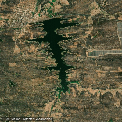
Açude Condado (Engenheiro Arcoverde)
- Boat Ramps
- 0
- Access Points
- 0
- Campsites
- 0
Açude Engenheiro Arcoverde, also known as Açude de Condado, is an artificial reservoir located in the municipality of Condado, in the state of Paraíba, Brazil. Its coordinates are approximately 6°54'41"S, 37°35'14"W. The reservoir sits within the Bacia do Médio Piranhas, in the region known as the polígono das secas — the drought polygon of the Brazilian Northeast sertão.
The reservoir has a maximum capacity of 36,834,375 cubic meters and a mean water surface area of 4.41 km². Its drainage basin covers 124 km² and is fed by intermittent streams that run dry during at least part of the year, which means water levels can vary considerably across seasons. Volume fluctuations are significant; the reservoir has at times held as little as 9–19% of its total capacity, which would substantially reduce the navigable surface area available to paddlers. Prospective visitors should consult current volume data from the Agência Executiva de Gestão das Águas da Paraíba (AESA) before planning a trip, as low water levels may expose shallow areas, submerged structures, or the original terrain of the former Fazenda Condado, which now lies beneath the reservoir.
The dam structure is crossed by the BR-230 highway, with the Rua das Residências on one side and the center of Condado on the other, which provides relatively straightforward road access to the water's edge. The reservoir serves as the primary drinking water supply for the cities of Condado and Malta, supplying 36,000 m³ per month, and also supports the 240-hectare Perímetro Irrigado Federal Engenheiro Arcoverde. Paddlers should be aware of this critical public water supply function, which may carry implications for permitted activities on the water.
The reservoir has historical significance as a DNOCS infrastructure project built between 1932 and 1936. Its construction displaced the original community of Condado, and the site of the original Fazenda Condado now lies submerged. Sport fishing is an established activity on the reservoir, with guided experiences available through local operators. The surrounding landscape is characteristic of the semi-arid sertão of Paraíba, with the cultural and historical context of drought-relief infrastructure forming a notable backdrop to any visit.
Water access, boat ramps & amenities
Learn how to get on Açude Condado (Engenheiro Arcoverde). Uncover great paddling access points, boat ramps, and all the facilities you need for an unforgettable day on the water. Some locations shown may border or include private property. Always check property boundaries and applicable regulations before visiting. PaddleWays's Public & Private Land layer can help you plan your access with confidence.
Paddle smarter with real-time insights
Whether you're en route and conditions shift or you're looking for the best spot based on current flows, we enable you to make informed decisions on the fly.







Paraíba licenses and regulations
No licenses or regulations available for Paraíba.
Find Places to Paddle

Over 400,000 Places to Paddle
Every user gets free access to launch points, boat ramps, and public property parcels.


Water and weather conditions (10 day forecast)
See the best times to paddle Açude Condado (Engenheiro Arcoverde) and check the forecast before you go.
Açude Engenheiro Arcoverde
Paddling near Açude Condado (Engenheiro Arcoverde)
Rio Sabugi
Açude Coremas (Engenheiro Estevam Marinho)
Açude Cachoeira Dos Cegos
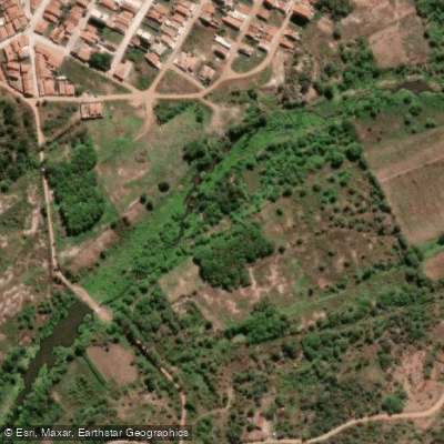
Rio Sucuru
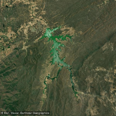
Açude Jenipapeiro (Buiú)
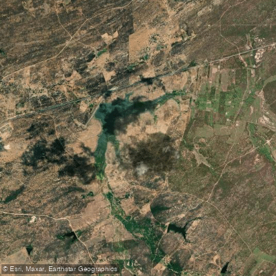
Açude São Mamede
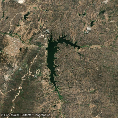
Açude Boqueirão De Parelhas
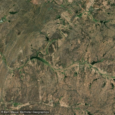
Açude Passagem Das Traíras
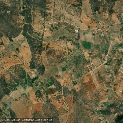
Açude Novo
Explore Paraíba waters
Top paddling waters
No waters available right now.
Popular Cities
Loading popular cities...
Explore near Açude Condado (Engenheiro Arcoverde)

Smarter Paddling Starts in the App.
Paddleways gives you everything you need to plan smarter, paddle better, and own every trip from first launch to takeout.