Rio Iapó
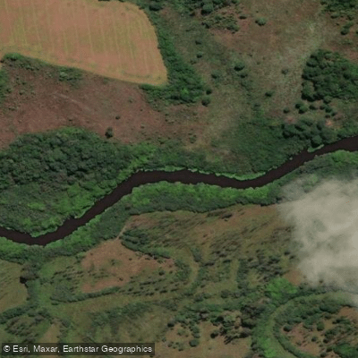
Rio Iapó
- Boat Ramps
- 0
- Access Points
- 0
- Campsites
- 1
The Rio Iapó is a river in Paraná state, southern Brazil, flowing as a tributary of the Tibagi River. It is perhaps best known for passing through the scenic Guartelá Canyon, a protected area within the 799-hectare Guartelá State Park, established in 1992.
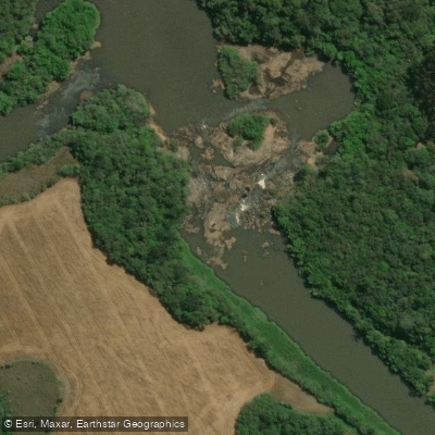
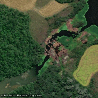
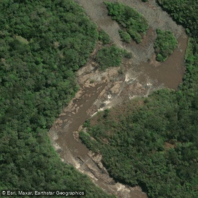
The primary whitewater run on the Rio Iapó is a solid day trip, predominantly class 4 with two notable class 5 rapids. Both class 5 features can be scouted or portaged on river left, though paddlers should be aware that the landing zone below the first class 5 is undercut on the left side — a significant hazard requiring careful attention. The put-in is located at approximately GPS -24.631704, -50.210583 and involves a hike of roughly a mile through farmland, downhill and then upstream to reach the river. Large rock outcroppings at the put-in are a visual highlight. The take-out is at approximately GPS -24.504276, -50.327558, accessed via a rough dirt road that may involve private property considerations.
The watershed is relatively large, which helps the river retain adequate flow well into the year, making it a viable destination across a broader seasonal window than many comparable runs. The gradient is pronounced and visible on the approach hike, and the section features abundant class 4 ledges throughout. Low-lying clouds in the canyon valley are a characteristic atmospheric feature of the area.
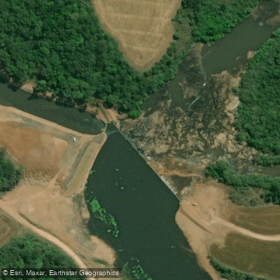
A commercial rafting operation, Guartelá Ecoturismo, runs a 17-kilometer section of the Rio Iapó. A fishing access point known as Cachoeira Do Meio is also located on the river.
Paddlers planning a trip should factor in the hike to the put-in and the potentially rough access road at the take-out. The undercut hazard at the first class 5 rapid warrants particular caution and thorough scouting before committing to a line.
Water access, boat ramps & amenities
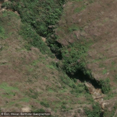
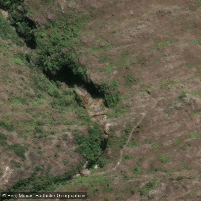
Learn how to get on Rio Iapó. Uncover great paddling access points, boat ramps, and all the facilities you need for an unforgettable day on the water. Some locations shown may border or include private property. Always check property boundaries and applicable regulations before visiting. PaddleWays's Public & Private Land layer can help you plan your access with confidence.
Paddle smarter with real-time insights
Whether you're en route and conditions shift or you're looking for the best spot based on current flows, we enable you to make informed decisions on the fly.







Paraná licenses and regulations
No licenses or regulations available for Paraná.
Find Places to Paddle

Over 400,000 Places to Paddle
Every user gets free access to launch points, boat ramps, and public property parcels.


Water and weather conditions (10 day forecast)
See the best times to paddle Rio Iapó and check the forecast before you go.
Pch Castro Montante 2
All Flow Stations
Paddling near Rio Iapó
Rio Tibagi
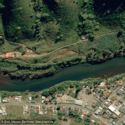
Rio Ribeira
Rio Açungui
Rio Iguaçu
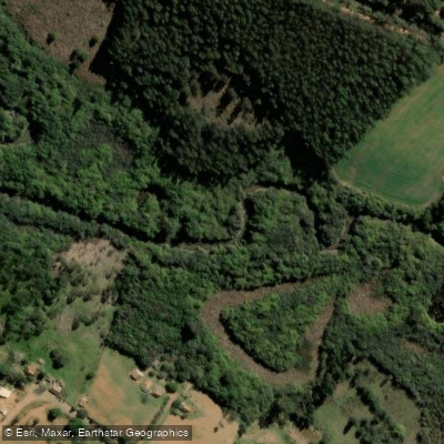
Rio Bitumirim
Rio Tamanduá
Rio Ribeira
Rio Palmital
Rio Socavão
Explore Paraná waters
Top paddling waters
No waters available right now.
Popular Cities
Loading popular cities...
Explore near Rio Iapó
Access points
Nearby waters
More in Paraná

Smarter Paddling Starts in the App.
Paddleways gives you everything you need to plan smarter, paddle better, and own every trip from first launch to takeout.