Rio Ribeira
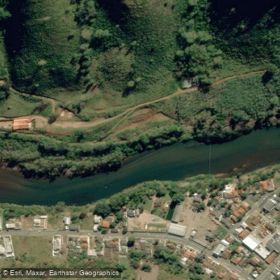
Rio Ribeira
- Boat Ramps
- 0
- Access Points
- 0
- Campsites
- 0
The Rio Ribeira, also known as the Rio Ribeira de Iguape, originates in the state of Paraná near coordinates 24°54′21″S 49°28′18″W and flows approximately 470 kilometres before emptying into the Atlantic Ocean near Iguape. The river passes through both Paraná and São Paulo states in southeastern Brazil.
In its upper course, the river runs through the mountains of the Serra do Mar, where the waters are turbulent and well suited to rafting. Over the first 290 kilometres, the river drops roughly 900 metres through the mountains to the region near Itapeuna. From there it descends an additional 90 metres over 90 kilometres to the city of Registro, where it sits only about 5 metres above sea level. This gradient profile means paddlers can expect a significant contrast between the fast, technical upper sections and the flatter, slower lower reaches.
No dams have been constructed on the river, which preserves its natural flow characteristics throughout its length. The river corridor passes through a relatively sparsely populated region with intact areas of Atlantic Forest, and several named waterfalls and points of interest line the river, including Cachoeira Das Andorinhas, Cachoeira Das Tres Quedas, Cachoeira Do Funil, Cachoeira Escondida, Cachoeira Nossa Senhora Do Carmo, Cachoeira Queda Do Meu Deus, and a portage point known as Varadouro.
Paddlers should be aware that the river has been contaminated with heavy metals from mining activity to a degree that authorities consider it unsafe to consume molluscs found in the river and its estuary. The river is home to several endemic fish species. Under Brazilian federal law, inland waters that cross state lines are classified as federal public assets, and recreational boating requires a Vessel Inscription Title (TIE/TIEM) issued by the Brazilian Navy. A federal amateur or sport fishing license is also required for anyone fishing from a vessel.
Water access, boat ramps & amenities
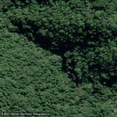
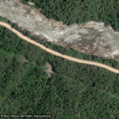
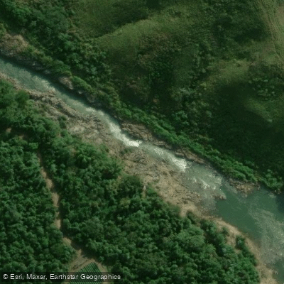
Learn how to get on Rio Ribeira. Uncover great paddling access points, boat ramps, and all the facilities you need for an unforgettable day on the water. Some locations shown may border or include private property. Always check property boundaries and applicable regulations before visiting. PaddleWays's Public & Private Land layer can help you plan your access with confidence.
Paddle smarter with real-time insights
Whether you're en route and conditions shift or you're looking for the best spot based on current flows, we enable you to make informed decisions on the fly.







Paraná licenses and regulations
No licenses or regulations available for Paraná.
Find Places to Paddle

Over 400,000 Places to Paddle
Every user gets free access to launch points, boat ramps, and public property parcels.


Water and weather conditions (10 day forecast)
See the best times to paddle Rio Ribeira and check the forecast before you go.
Foz Do São Sebastião
All Flow Stations
Paddling near Rio Ribeira
Rio Iguaçu
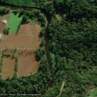
Rio Nhundiaquara
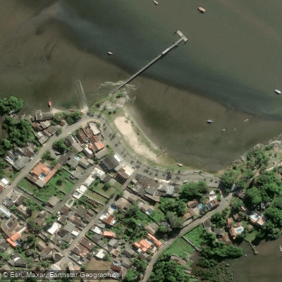
Ponta da Pita
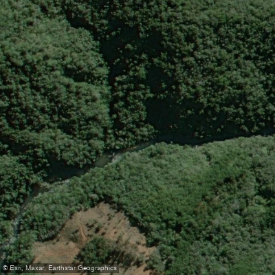
Rio Açungui
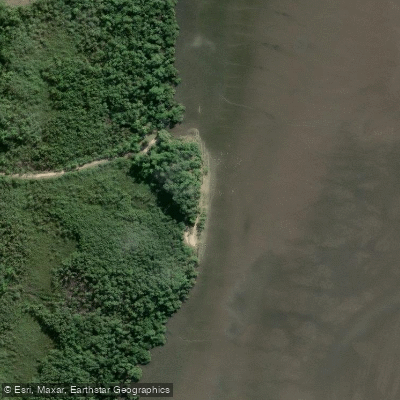
Praia do Gomes
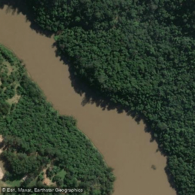
Rio Tibagi
Rio Piraquara
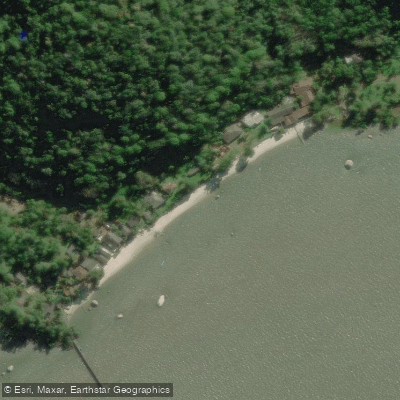
Ilha de Europinha
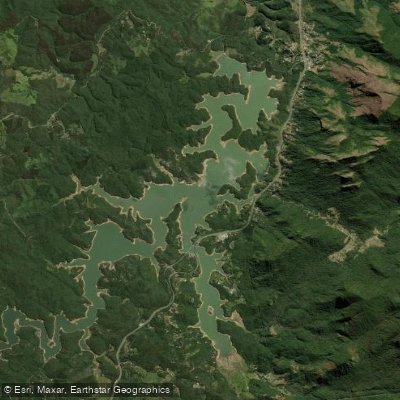
Represa Capivari
Explore Paraná waters
Top paddling waters
No waters available right now.
Popular Cities
Loading popular cities...
Explore near Rio Ribeira

Smarter Paddling Starts in the App.
Paddleways gives you everything you need to plan smarter, paddle better, and own every trip from first launch to takeout.