Represa Capivari
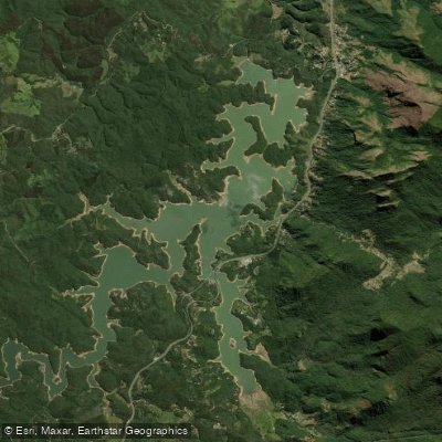
Represa Capivari
- Boat Ramps
- 0
- Access Points
- 0
- Campsites
- 1
Represa do Capivari is a reservoir located in Campina Grande do Sul, Paraná, situated at the base of the Serra do Ibitiraquire — the mountain range that includes Pico Paraná, the highest peak in southern Brazil. The surrounding landscape features prominent peaks including Caratuva, Itapiroca, Taipabuçu, Tucum, Camapuã, Getúlio, Ferraria, and Guaricana, all visible from the water. The reservoir is enclosed by dense Atlantic Forest on both sides, and the water is consistently calm, making it well-suited for flatwater paddling. The reservoir is roughly 1 hour from Curitiba by road.
The standard paddling circuit covers approximately 10 kilometers and takes between 3 and 4 hours to complete at a relaxed pace. The route passes through open sections of the reservoir, around an island, and continues to the Rio das Pedras — a clear-water stream that descends directly from the serra and feeds the reservoir. Guided tours typically include rest stops and opportunities to swim. The technical difficulty is rated easy to moderate, and the route is considered appropriate for beginners with no prior paddling experience, though participants should be in reasonable physical condition. Conditions can vary depending on wind, which may increase difficulty on any given day.
Kayaking, stand-up paddleboarding, and canoeing are all practiced on the reservoir. Guided day trips depart from Curitiba, with a meeting point at the UFPR Reitoria building on Rua General Carneiro, nº 460, in central Curitiba. Departure is typically around 7:00 a.m., with paddling beginning around 9:30 a.m. and finishing around 2:00 p.m., returning to Curitiba by approximately 4:00 p.m. Private accommodations with direct reservoir access are also available in the area, and the Capivari Ecoresort, located on Estrada Municipal Antônio Kovalski in Campina Grande do Sul, offers kayak, pedal boat, and stand-up paddle rentals on its lake adjacent to the reservoir.
Water access, boat ramps & amenities
Learn how to get on Represa Capivari. Uncover great paddling access points, boat ramps, and all the facilities you need for an unforgettable day on the water. Some locations shown may border or include private property. Always check property boundaries and applicable regulations before visiting. PaddleWays's Public & Private Land layer can help you plan your access with confidence.
Paddle smarter with real-time insights
Whether you're en route and conditions shift or you're looking for the best spot based on current flows, we enable you to make informed decisions on the fly.







Paraná licenses and regulations
No licenses or regulations available for Paraná.
Find Places to Paddle

Over 400,000 Places to Paddle
Every user gets free access to launch points, boat ramps, and public property parcels.


Water and weather conditions (10 day forecast)
See the best times to paddle Represa Capivari and check the forecast before you go.
Praia Grande
All Flow Stations
Paddling near Represa Capivari
Rio Iguaçu
Rio Nhundiaquara
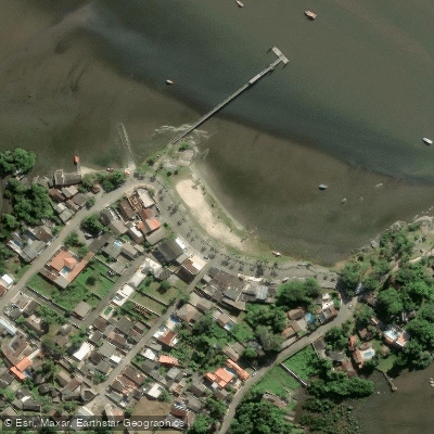
Ponta da Pita
Rio Açungui
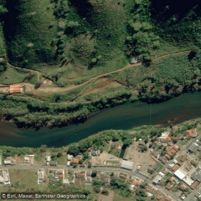
Rio Ribeira
Praia do Gomes
Rio Tibagi
Rio Piraquara
Ilha de Europinha
Explore Paraná waters
Top paddling waters
No waters available right now.
Popular Cities
Loading popular cities...
Explore near Represa Capivari

Smarter Paddling Starts in the App.
Paddleways gives you everything you need to plan smarter, paddle better, and own every trip from first launch to takeout.