Paddling in Anavilhanas National Park
- National Park
- Lakes
- 0
- Rivers
- 22
- Access
- 0
- Boat Ramps
- 0
- Shops
- 0
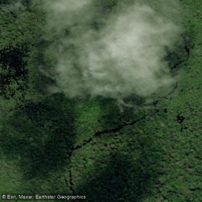
Anavilhanas National Park sits on the Rio Negro roughly 100 kilometers upstream from Manaus, protecting one of the largest freshwater archipelagos on earth — more than 400 islands stretching about 130 kilometers along the river, interlaced with flooded forests, lakes, and narrow channels.
The park covers approximately 350,000 hectares, and up to 60% of that area goes underwater during the wet season. The water itself is blackwater: dark, tannin-stained, acidic, and remarkably clear of suspended sediment.
The Rio Negro is the spine of the paddling here. Its scale demands respect — this is a major Amazonian river, not a creek — and conditions shift dramatically between seasons.
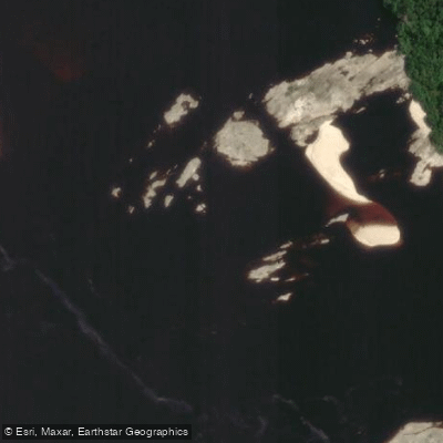
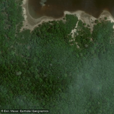
During the dry season, roughly September through February, falling water levels expose white sand beaches and sandbars along the islands, making canoe and kayak landings straightforward and shoreline camps possible.
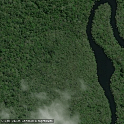
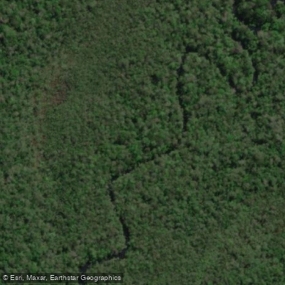
The wet season, March through August, floods the igapó forests to depths that let paddlers move directly through the canopy understory, threading between submerged trunks in water that has no current to speak of.
That flooded forest paddling is the defining experience of the park — slow, quiet, and genuinely disorienting in the best way. The 60 lakes within the archipelago become accessible by paddle craft, particularly in high water.
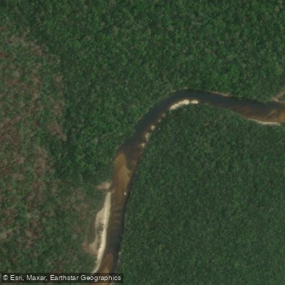
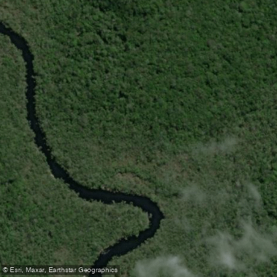
The igarapés — narrow blackwater channels cutting between islands — reward kayaks and canoes over any motorized craft. Igarapé Açu is among the named channels in the park. The Rio Puduari drains into the system as well.
These smaller waters are where the absence of motor noise matters most: wildlife is close, the channels are intimate, and the scale finally becomes human. Access runs through Novo Airão, the gateway municipality.
Most paddling in the park happens as guided excursions from lodges or tour operators based there or along the Rio Negro shore opposite the archipelago.
Self-guided paddling is possible but the scale of the Rio Negro — and the complexity of navigating hundreds of islands without local knowledge — makes a guide a practical necessity for most visitors, not just a formality.
The park is administered by ICMBio, and as a national park it carries the access and use rules that designation implies.
Check directly with ICMBio or the park administration in Novo Airão before any overnight river trip or independent paddling inside park boundaries. The Rio Negro does not rush.
Paddling Anavilhanas is about reading water levels, choosing the right season for what you want to see, and moving slowly enough to let the forest come to you.


Water and weather conditions (10 day forecast)
See the best times to paddle Anavilhanas National Park and check the forecast before you go.
No forecast data available.
Paddle smarter with real-time insights
Whether you're en route and conditions shift or you're looking for the best spot based on current flows, we enable you to make informed decisions on the fly.







Paddling near Anavilhanas National Park
Loading...
Gateway towns
Where to base yourself for paddling in Anavilhanas National Park.
- Novo AirãoAM
The main gateway town for the park, with lodges, guides, and boat launches along the Rio Negro for exploring the archipelago.
- ManausAM
The nearest city and transit hub where most visitors fly in before transferring to Novo Airão and the park.
Explore Anavilhanas National Park
Top paddling waters
Popular Cities
Loading popular cities...

Smarter Paddling Starts in the App.
Paddleways gives you everything you need to plan smarter, paddle better, and own every trip from first launch to takeout.