Paddling in Iguaçu National Park
- National Park
- Lakes
- 0
- Rivers
- 11
- Access
- 0
- Boat Ramps
- 0
- Shops
- 0
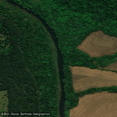
The Rio Iguaçu defines this park.
Flowing along the border between Brazil and Argentina before plunging over one of the largest waterfall systems on the planet, it is the single dominant water feature on the Brazilian side — and the reason paddlers come here at all.
The park covers roughly 170,000 hectares of subtropical rainforest in the state of Paraná, with Foz do Iguaçu serving as the gateway city just outside the entrance.
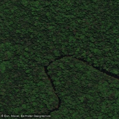
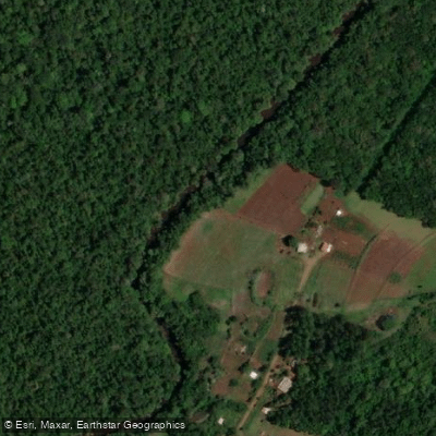
Paddling on the Rio Iguaçu inside the park is guided and structured, not self-guided wilderness travel. The accessible stretch is the upper portion of the river, upstream from the falls, where the water is calm enough for kayaks and canoes.
Organized tours put paddlers on the river for roughly 5 kilometers of downstream travel, with caimans a regular sighting along the banks — they tend to move off when approached. Capybaras work the shoreline.
The same corridor connects to the Tamanduá River at its confluence, which some tours use as a turnaround or destination point. Access to the water runs through the park's tour infrastructure.
A guided expedition format is the standard entry point: hikers descend a path to a canoeing base on the Rio Iguaçu, receive safety equipment and instruction, then paddle downstream. Some itineraries combine the paddle with a hike back through the forest.
The Black Wheel Track, a longer circuit inside the park, includes a kayak segment of about 5 kilometers on the upper Rio Iguaçu as its final leg, with staff accompanying paddlers on the water throughout.
This is not a park where you show up with your own boat and put in independently. The protected status means access is managed, and the paddling happens within guided frameworks tied to the park's concession system.
Check directly with the park for current entry requirements and what operators are authorized to run water-based activities. The Rio Iguaçu above the falls is quiet water — flatwater moving through dense forest with wildlife at the margins.
The drama is downstream, where the river drops 80 meters across a cascade nearly 3 kilometers wide. The paddling here is about what's living along the banks, not what the current is doing.

Water and weather conditions (10 day forecast)
See the best times to paddle Iguaçu National Park and check the forecast before you go.
No forecast data available.
Paddle smarter with real-time insights
Whether you're en route and conditions shift or you're looking for the best spot based on current flows, we enable you to make informed decisions on the fly.







Paddling near Iguaçu National Park
Loading...
Gateway towns
Where to base yourself for paddling in Iguaçu National Park.
- Foz do IguaçuPR
The main Brazilian gateway, with the park entrance, airport, and the full range of hotels, tours, and services for visiting the Brazilian side.
- Puerto IguazúMisiones
Argentine border town that many visitors use as a base when combining both sides of the falls on a single trip.
Explore Iguaçu National Park
Top paddling waters
Popular Cities
Loading popular cities...

Smarter Paddling Starts in the App.
Paddleways gives you everything you need to plan smarter, paddle better, and own every trip from first launch to takeout.