Paddling in Pacaás Novos National Park
- National Park
- Lakes
- 0
- Rivers
- 22
- Access
- 0
- Boat Ramps
- 0
- Shops
- 0
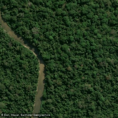
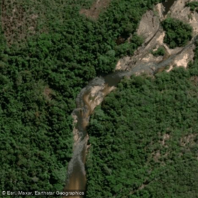
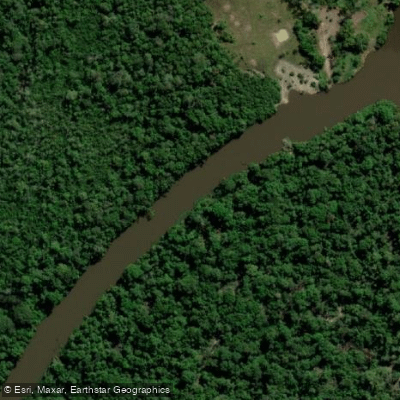
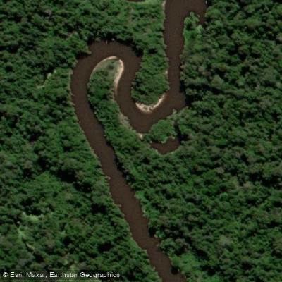
Pacaás Novos National Park holds the headwaters of rivers that drain a rugged, mist-wrapped highland in western Rondônia.
The Serra dos Pacaás Novos rises to 1,230 meters at Pico Tracoá — the highest point in the state — and the rivers born here drop through steep, heavily forested terrain before spreading into the broader Amazon basin.
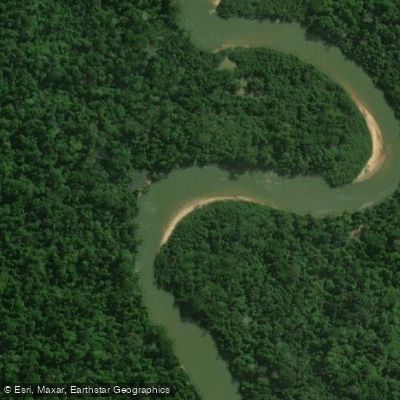
This is remote, mountainous Amazonian water, sitting in a transition zone between Cerrado and rainforest, and it behaves accordingly. The Rio Pacaás Novos is the park's defining waterway.
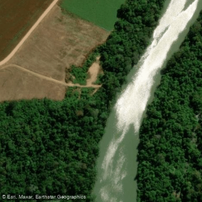
It rises in the western highlands of the park and flows southwest, eventually joining the Rio Mamoré just south of Guajará-Mirim.
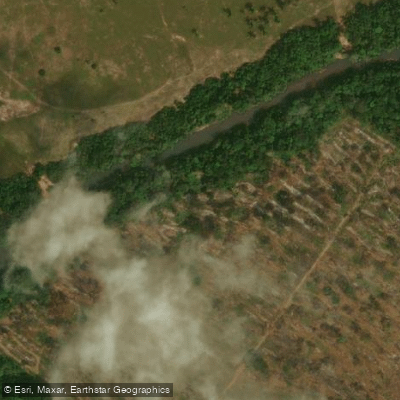
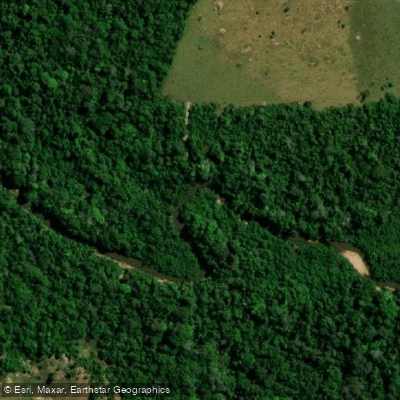
The headwaters section, inside the park, runs through terrain that combines elevation change with dense forest cover and multiple waterfalls — some reachable only after hours of hiking through steep, rugged trails.
The Rio Cautário drains other parts of this same highland system. Both rivers reflect the park's character: high gradient at their sources, remote, and largely unrun in any documented sense. That remoteness is not incidental.
Pacaás Novos was established specifically as a conservation unit, and it also functions as a cultural reserve for the Uru-Eu-Wau-Wau and Uru-Pa-In peoples.
The park has virtually no tourist infrastructure, and parts of it are described as practically impossible to reach — by design.
ICMBio administers the park, and anyone planning a river trip here should contact ICMBio directly before making any access assumptions.
Annual rainfall averages 764 millimeters, and temperatures swing between 5 and 37 °C, which means seasonal water levels matter enormously on steep headwater rivers. The park's own management plan dates to 1984, and visitor programs remain limited.
The water here is real — steep, cold at elevation, and draining one of the more intact highland-to-lowland forest gradients left in western Brazil. But this is not a park you show up to paddle.
It rewards serious advance planning, direct engagement with ICMBio, and a clear-eyed respect for what it means to travel through a place that was protected, in part, so that it would stay this hard to reach.
Water and weather conditions (10 day forecast)
See the best times to paddle Pacaás Novos National Park and check the forecast before you go.
No forecast data available.
Paddle smarter with real-time insights
Whether you're en route and conditions shift or you're looking for the best spot based on current flows, we enable you to make informed decisions on the fly.







Paddling near Pacaás Novos National Park
Loading...
Gateway towns
Where to base yourself for paddling in Pacaás Novos National Park.
- Guajará-MirimRondônia
Nearest city to the park and the primary base for visitors, with access to services and the adjacent Guajará-Mirim State Park.
- Nova MamoréRondônia
One of the municipalities covering park territory, offering a closer access point from the northern side of the park.
- Campo Novo de RondôniaRondônia
One of the municipalities that encompasses part of the park, providing an eastern approach into the park area.
Explore Pacaás Novos National Park
Top paddling waters
Popular Cities
Loading popular cities...

Smarter Paddling Starts in the App.
Paddleways gives you everything you need to plan smarter, paddle better, and own every trip from first launch to takeout.