Paddling in Parque Nacional da Serra da Bocaina
- National Park
- Lakes
- 0
- Rivers
- 31
- Access
- 0
- Boat Ramps
- 0
- Shops
- 0
Parque Nacional da Serra da Bocaina spans the border of São Paulo and Rio de Janeiro, dropping from highlands above 2,000 meters down to the Atlantic coast near Paraty.
That dramatic elevation gradient is the engine behind the park's water: rivers born in cloud forest and open grassland gather speed as they descend the Serra do Mar escarpment, carving valleys and feeding waterfalls before reaching the coastal lowlands.
The result is a park where moving water is everywhere, from cold highland streams to broad coastal rivers. The Rio Mambucaba is the park's defining waterway.
It runs north to south through the full length of the park, descending the serra in a series of rapids and waterfalls before flattening out near the coast.
The official visitor guide specifically names the lower Mambucaba as well-known among rafting paddlers — that coastal stretch, already past the steepest gradient, is where organized rafting takes place.
Higher up, the river is a cascade-and-pool environment more suited to canyoneering than paddling.
The park also mentions the Rio Bracuí, which crosses park territory in the Angra dos Reis section, and the córrego Melancia near Paraty as additional river features, though neither is described in the same detail as the Mambucaba.
The drier months — roughly April through September — bring more predictable conditions and lower rainfall across the serra.
The wet season, running through the southern summer, can push water levels high and make access roads difficult, particularly on the São Paulo side via São José do Barreiro.
Because this is a national park managed by ICMBio, access and use rules apply on top of any state-level requirements. The park's administrative base is in Paraty; contact ICMBio directly at parnaserradabocaina@icmbio. gov.
br or through the Paraty office before planning any river trip, especially overnight itineraries.
The Mambucaba corridor in particular runs through protected Atlantic Forest, and the park's status as a UNESCO World Heritage site means enforcement of use rules is taken seriously.
The Serra da Bocaina is primarily a trekking destination, and the rivers here reflect that — they're features of the landscape as much as routes through it.
But the lower Mambucaba has real current, a documented rafting history, and the kind of gradient that rewards paddlers who do their homework before putting in.
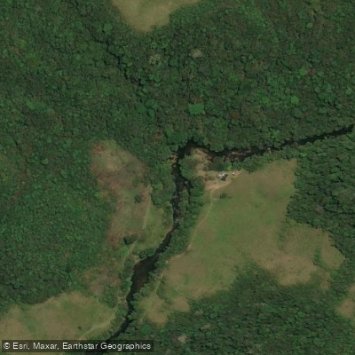
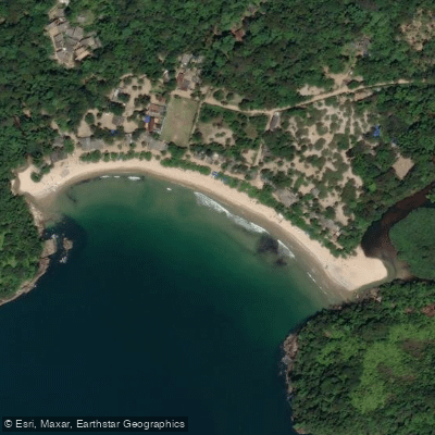
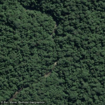
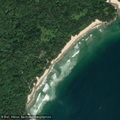
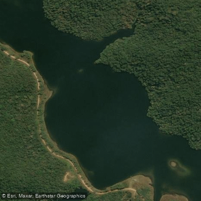
Top waters to paddle near Parque Nacional Da Serra Da Bocaina
Water and weather conditions (10 day forecast)
See the best times to paddle Parque Nacional da Serra da Bocaina and check the forecast before you go.
No forecast data available.
Paddle smarter with real-time insights
Whether you're en route and conditions shift or you're looking for the best spot based on current flows, we enable you to make informed decisions on the fly.







Paddling near Parque Nacional da Serra da Bocaina
Loading...
Gateway towns
Where to base yourself for paddling in Parque Nacional da Serra da Bocaina.
- ParatyRJ
Main gateway for the coastal (Parte Baixa) section, with lodging, guides, tour operators, and access to park trails and beaches.
- São José do BarreiroSP
Park headquarters are here, serving as the entry point for the highland (Parte Alta) route with its peaks and waterfalls.
- TrindadeRJ
Small beach village just outside Paraty from which visitors can walk directly into the park's coastal zone.
Explore Parque Nacional da Serra da Bocaina
Top paddling waters
Popular Cities
Loading popular cities...

Smarter Paddling Starts in the App.
Paddleways gives you everything you need to plan smarter, paddle better, and own every trip from first launch to takeout.