Paddling in Parque Nacional da Serra da Canastra
- National Park
- Lakes
- 0
- Rivers
- 29
- Access
- 0
- Boat Ramps
- 0
- Shops
- 0
The park sits on a high plateau in the southwest of Minas Gerais, straddling the divide between two of Brazil's great river basins — the Paraná and the São Francisco.
That position is the whole story hydrologically: hundreds of streams born on the quartzite chapadas drop off the escarpments in waterfalls that exceed 100 meters before gathering into rivers that run through the park's valleys.
The water here is young, clear, and moving. The Rio São Francisco is the park's defining water.
The Velho Chico begins its long journey to the Atlantic here, and the lower section inside the park — where the river has gathered enough volume to carry a kayak — is where ecotourists paddle.
Images from that stretch show solo kayakers and small groups moving through open water framed by cerrado vegetation.
The river is small by the standards it will reach downstream, but it is the headwaters of one of Brazil's most significant watersheds, and that context is present in every stroke. The park was created in 1972 specifically to protect those headwaters.
That mission shapes how the place is managed. The Serra da Canastra is administered as a federal protected area — a unidade de conservação de proteção integral — under IBAMA, which means access and activities are regulated at the federal level.
Anyone planning a paddle inside the park boundaries should contact the park administration directly for current permits and rules before putting in; what applies on the river outside the park does not automatically apply inside it.
Rainfall is strongly seasonal, concentrated between December and February, with a dry season of roughly five months. River levels inside the park respond to that pattern directly.
The wet season brings the waterfalls to full spectacle and raises the headwater streams, but road access — most park roads are unpaved — can become difficult.
The dry season months offer more reliable access and clearer water, though flows on the smaller tributaries drop accordingly. The Rio São Francisco's lower section within the park is the water with documented paddling activity.
The broader region around the park also has rivers described as suitable for canoagem, but the São Francisco headwaters remain the gravitational center — the reason the park exists, and the reason paddlers come.
Top waters to paddle near Parque Nacional Da Serra Da Canastra
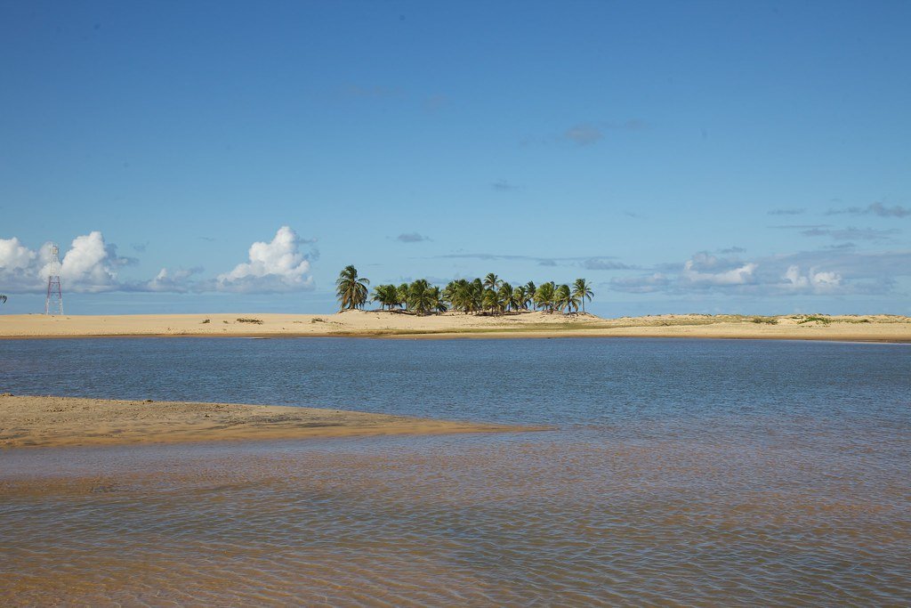
Rio São Francisco
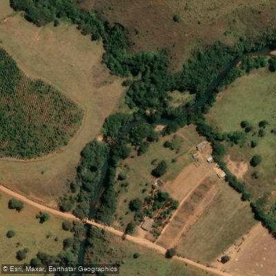
Rio Santo Antônio
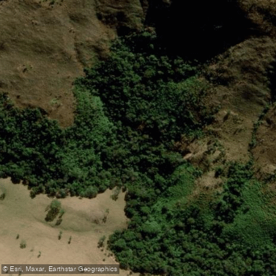
Rio Claro
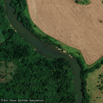
Rio Araguari
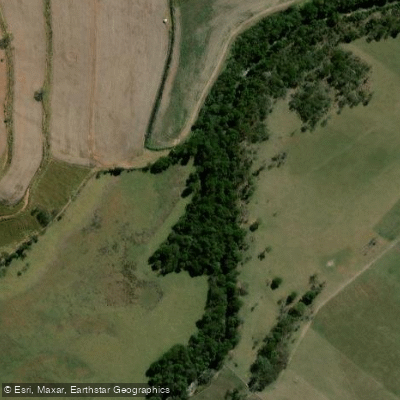
Rio Piuí
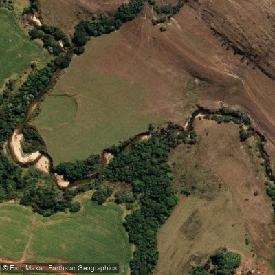
Ribeirão Grande
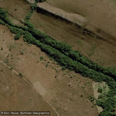
Ribeirão das Posses
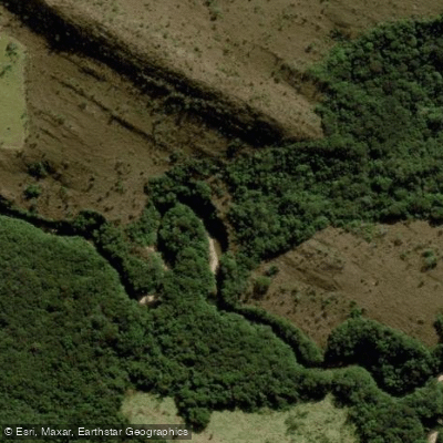
Rio da Babilônia
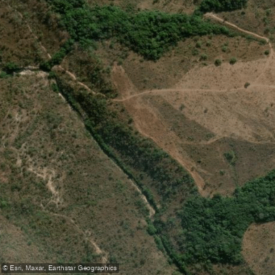
Ribeirão das Batéias
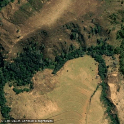
Rio do Peixe
Water and weather conditions (10 day forecast)
See the best times to paddle Parque Nacional da Serra da Canastra and check the forecast before you go.
No forecast data available.
Paddle smarter with real-time insights
Whether you're en route and conditions shift or you're looking for the best spot based on current flows, we enable you to make informed decisions on the fly.







Paddling near Parque Nacional da Serra da Canastra
Loading...
Gateway towns
Where to base yourself for paddling in Parque Nacional da Serra da Canastra.
- São Roque de MinasMG
The main gateway town, closest to the park's primary entrance, with lodging, guides, and park access.
- DelfinópolisMG
Gateway to the park's eastern sector, with numerous pousadas and direct access to that portion of the park.
- Vargem BonitaMG
A smaller gateway town used by visitors as a base for accessing the park's trails and attractions.
Explore Parque Nacional da Serra da Canastra
Top paddling waters
Popular Cities
Loading popular cities...

Smarter Paddling Starts in the App.
Paddleways gives you everything you need to plan smarter, paddle better, and own every trip from first launch to takeout.