Paddling in Parque Nacional da Serra do Pardo
- National Park
- Lakes
- 0
- Rivers
- 10
- Access
- 0
- Boat Ramps
- 0
- Shops
- 0
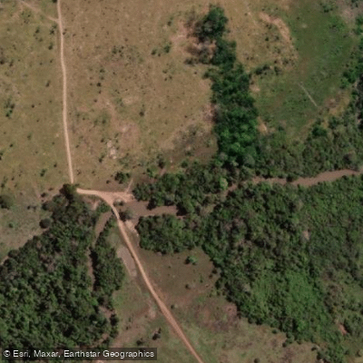
The Parque Nacional da Serra do Pardo holds some of the most intact Amazonian river corridor in Brazil.
Sitting in the Terra do Meio region of Pará state, the park spans roughly 445,000 hectares between the municipalities of São Félix do Xingu and Altamira, and its eastern boundary is defined by the Rio Xingu itself.
The Serra do Pardo mountain range — rising to around 546 metres at its highest — runs along the Rio Pardo, which marks the park's northwest boundary. These two rivers frame the park's paddling geography. The Rio Xingu is the water that anchors paddling here.
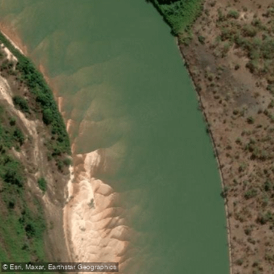
One of the great tributaries of the Amazon, it runs the length of the park's eastern edge through dense terra firme rainforest, carrying the volume and character of a major Amazonian river.
The Rio Pardo, which gives the park its name, defines the opposite boundary and drains the slopes of the serra.
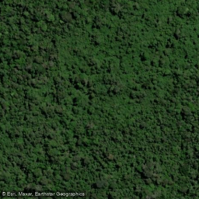
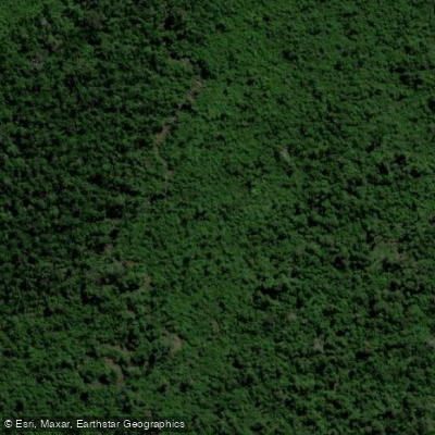
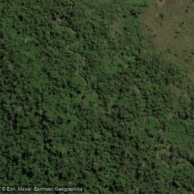
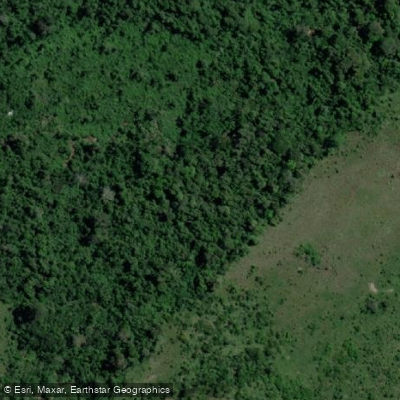
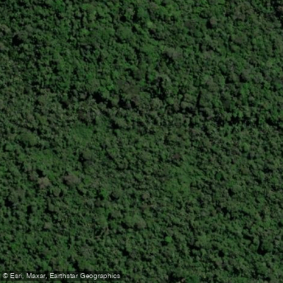
Between them, the park protects a river landscape that has retained about 95% of its natural vegetation — a rarity in a region that has faced sustained deforestation pressure from the south and east.
This is a protected area under integral protection, administered by ICMBio (Instituto Chico Mendes de Conservação da Biodiversidade), which means access and permitted activities are tightly managed.
Before planning any trip on waters within the park boundary, contact ICMBio directly — rules for river travel, overnight trips, and access points are set at the park level and subject to change. The remoteness is real.
The nearest cities are Altamira and São Félix do Xingu, and the park sits within the larger Terra do Meio Mosaic, a complex of adjoining protected areas.
Logistics here are Amazonian in scale: distances are long, infrastructure is minimal, and the river is the road.
Paddling the Xingu in this stretch means moving through one of the least-disturbed sections of a river that has otherwise been dramatically altered downstream by the Belo Monte dam complex. That context matters.
The water running through Serra do Pardo is what the Xingu looked like before.
Top waters to paddle near Parque Nacional Da Serra Do Pardo
Water and weather conditions (10 day forecast)
See the best times to paddle Parque Nacional da Serra do Pardo and check the forecast before you go.
No forecast data available.
Paddle smarter with real-time insights
Whether you're en route and conditions shift or you're looking for the best spot based on current flows, we enable you to make informed decisions on the fly.







Paddling near Parque Nacional da Serra do Pardo
Loading...
Gateway towns
Where to base yourself for paddling in Parque Nacional da Serra do Pardo.
- AltamiraPA
The nearest city to the park and the main base for logistics, lodging, and access into this remote Amazon reserve.
- São Félix do XinguPA
Shares the park's municipal boundary and serves as a southern access point for visitors approaching from the Xingu region.
Explore Parque Nacional da Serra do Pardo
Top paddling waters
Popular Cities
Loading popular cities...

Smarter Paddling Starts in the App.
Paddleways gives you everything you need to plan smarter, paddle better, and own every trip from first launch to takeout.