Paddling in Parque Nacional do Araguaia
- National Park
- Lakes
- 3
- Rivers
- 9
- Access
- 0
- Boat Ramps
- 0
- Shops
- 0
Parque Nacional do Araguaia sits on Ilha do Bananal in the state of Tocantins — the largest fluvial island in the world, formed by the split of the Rio Araguaia into two distinct channels.
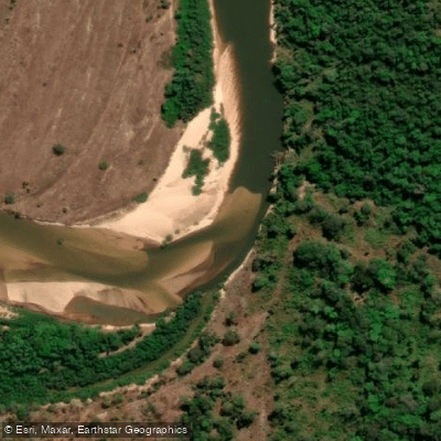
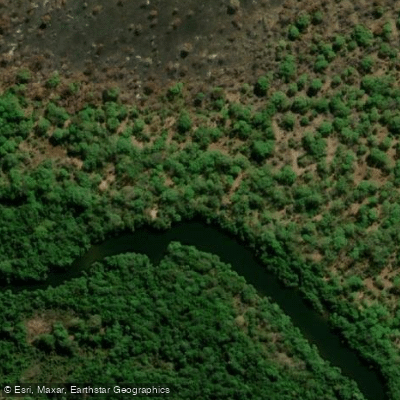
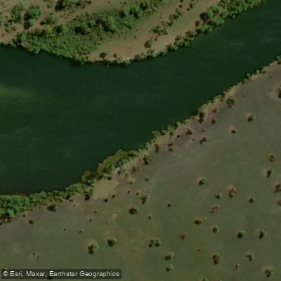
The park occupies the northern portion of the island, bounded on the west by the Rio Araguaia and on the east by the Rio Javaés. The water here is not incidental to the landscape; it defines it.
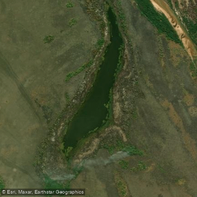
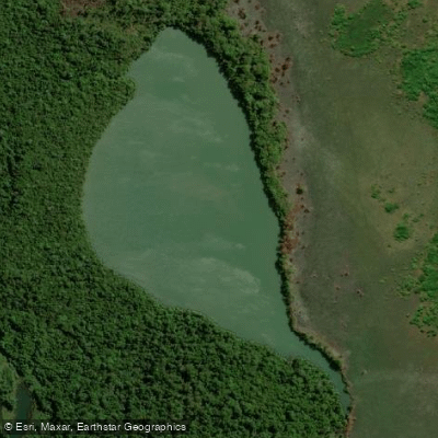
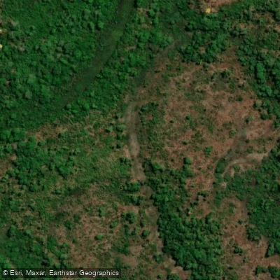
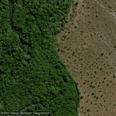
Wetlands, oxbow lakes, gallery forests, and seasonally flooded savannas make this one of the most hydrologically complex protected areas in Brazil, sitting at the transition between Cerrado and Amazônia.
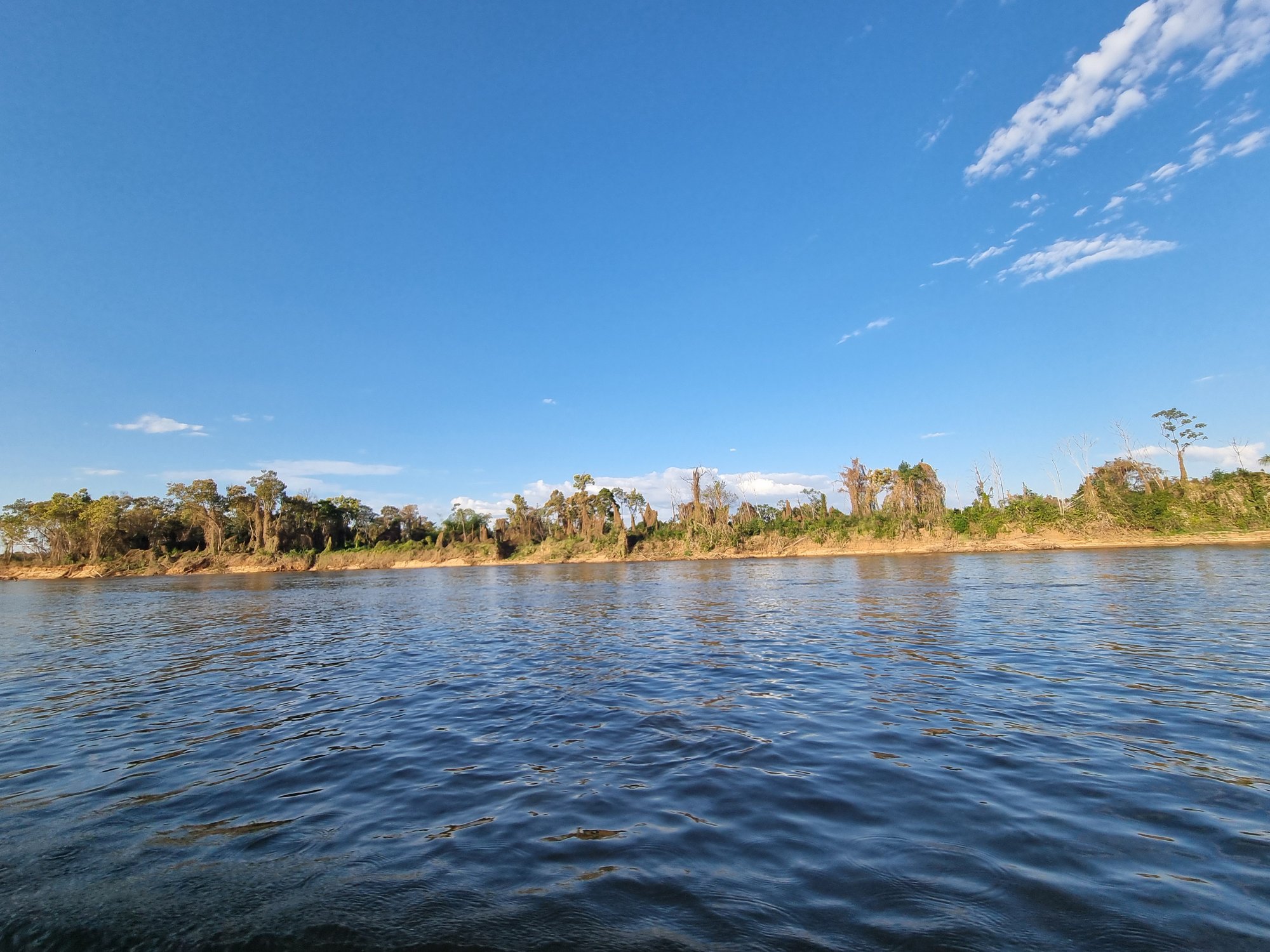
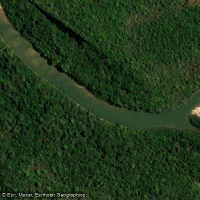
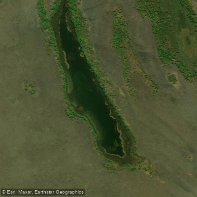
The two rivers that frame the park are its primary paddling corridors. The Rio Araguaia runs along the western edge, wide and significant, with a network of tributaries, igapós, and horseshoe lakes branching off its main channel.
The Rio Javaés traces the eastern boundary and provides access from the north, near the Parque Estadual do Cantão.
Circling the park by water — entering smaller side channels at dawn or dusk — puts paddlers in close contact with caimans, river dolphins, giant otters, and a birdlife that includes the jabiru stork and hyacinth macaw. Seasonality matters enormously here.
Between roughly December and April, floodwaters inundate up to a third of the island, transforming the terrain and opening routes through flooded forest that don't exist in the dry season. That same period brings peak mosquito activity.
The dry season makes the main channels more defined and navigation more predictable, but also concentrates wildlife around permanent water.
The park overlaps with the territory of the Karajá and Javaé peoples, and visiting requires prior contact with the indigenous communities.
The park's management plan specifies that all visitors on the water must wear a life jacket, and at certain lake entry points, a change of vessel is required.
Fishing inside the park boundaries is tightly regulated — illegal fishing has been a documented pressure on the ecosystem — so anyone bringing rods should confirm current rules directly with the park before launching.
This is flatwater paddling in a floodplain wilderness, not a whitewater destination. What it demands is preparation for remoteness, respect for the protected status of the water, and an honest read of the season before you go.
Water and weather conditions (10 day forecast)
See the best times to paddle Parque Nacional do Araguaia and check the forecast before you go.
No forecast data available.
Paddle smarter with real-time insights
Whether you're en route and conditions shift or you're looking for the best spot based on current flows, we enable you to make informed decisions on the fly.







Paddling near Parque Nacional do Araguaia
Loading...
Gateway towns
Where to base yourself for paddling in Parque Nacional do Araguaia.
- PiumTO
Closest town to the park's eastern entrance on Bananal Island, serving as the main access point for visitors.
Explore Parque Nacional do Araguaia
Top paddling waters
Popular Cities
Loading popular cities...

Smarter Paddling Starts in the App.
Paddleways gives you everything you need to plan smarter, paddle better, and own every trip from first launch to takeout.