Paddling in Serra do Divisor National Park
- National Park
- Lakes
- 0
- Rivers
- 45
- Access
- 0
- Boat Ramps
- 0
- Shops
- 0
Serra do Divisor sits at the far western edge of Brazil, where the state of Acre presses against the Peruvian border.
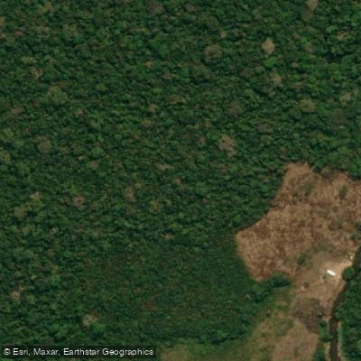
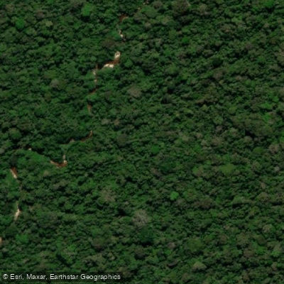
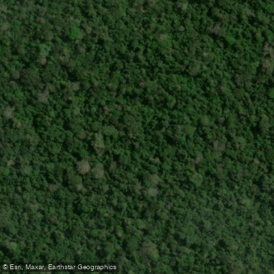
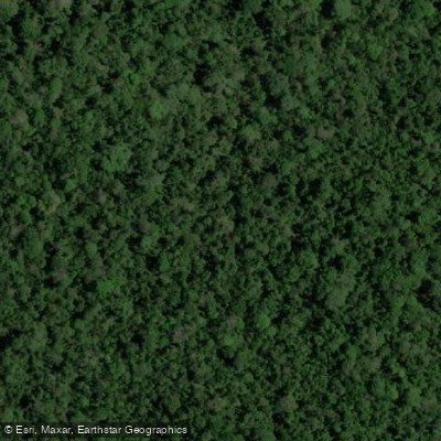
The Serra Divisor mountain range forms the divide between the Ucayali basin to the west and the Juruá basin to the east, and the park's water flows accordingly — out of steep, forested hills and down through broad alluvial plains laced with lakes, igapós, and igarapés.
The terrain shifts dramatically over short distances: from well-drained tabular ridges above 250 meters to permanently inundated floodplain margins where the rivers spread wide and slow.
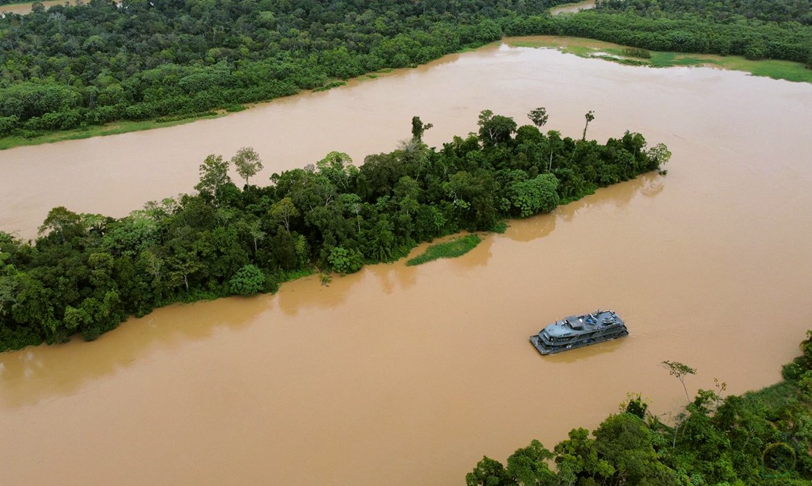
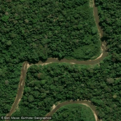
The Juruá defines the eastern boundary of the park's southern section and is one of the two primary ways in and out. Along with the Moa, it connects the park to Cruzeiro do Sul, the nearest city and the practical staging point for any river trip here.
Both rivers carry the character of Amazonian lowland water — wide, brown, and subject to significant seasonal fluctuation.
The climate runs hot and humid year-round, with a dry season of one to two months; water levels and current speed shift considerably between high and low water, and that timing shapes what is accessible and how hard the paddling is.
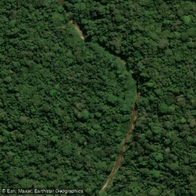
The lower sections of the Juruá and Moa are regularly to permanently flooded, opening access to a network of lakes and side channels, including igarapés such as Igarapé Preto.
In high water these floodplain corridors become navigable by small craft; in low water, channels shallow out and some routes close entirely.
The park has no tourism infrastructure, which means no outfitter support, no marked put-ins, and no rescue services on the water.
Because this is a national park managed under Brazilian federal protection, access and activity rules apply on top of any state-level requirements.
Contact the park directly — or IBAMA, which oversees it — before planning any trip, particularly for overnight river travel. This is remote Amazonian paddling in the fullest sense.
The distance from Cruzeiro do Sul, the absence of infrastructure, and the scale of the river system mean that preparation and local knowledge are not optional.
The rivers here are not a backdrop — they are the route, the access, and the reason the place exists as it does.
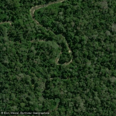
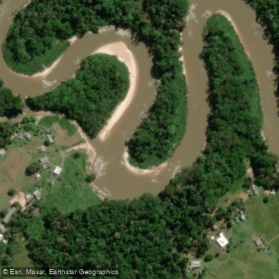
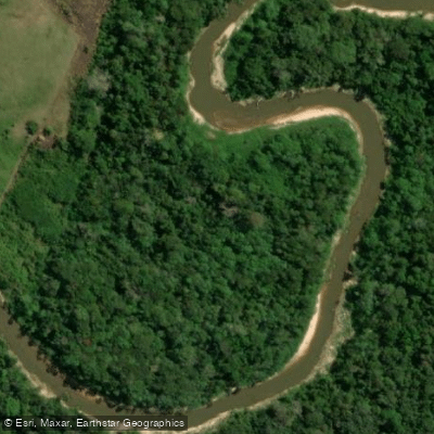
Top waters to paddle near Serra Do Divisor National Park
Water and weather conditions (10 day forecast)
See the best times to paddle Serra do Divisor National Park and check the forecast before you go.
No forecast data available.
Paddle smarter with real-time insights
Whether you're en route and conditions shift or you're looking for the best spot based on current flows, we enable you to make informed decisions on the fly.







Paddling near Serra do Divisor National Park
Loading...
Gateway towns
Where to base yourself for paddling in Serra do Divisor National Park.
- Cruzeiro do SulAC
Main gateway; river access to the park departs from here via the Moa or Juruá rivers, with lodging and local services available.
- Mâncio LimaAC
Secondary access point for river-based entry to the park, with local lodges and boat excursions serving visitors.
Explore Serra do Divisor National Park
Top paddling waters
Popular Cities
Loading popular cities...

Smarter Paddling Starts in the App.
Paddleways gives you everything you need to plan smarter, paddle better, and own every trip from first launch to takeout.