Rio Jaboatão
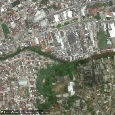
Rio Jaboatão
- Boat Ramps
- 0
- Access Points
- 0
- Campsites
- 1
The Rio Jaboatão flows through eastern Pernambuco, passing through the city of Jaboatão dos Guararapes before emptying into the Atlantic Ocean at coordinates 8°13′31″S 34°55′35″W. The mouth of the river sits on the boundary between the municipalities of Jaboatão dos Guararapes and Cabo de Santo Agostinho. The city itself lies approximately 45 metres above sea level, just west of Recife, placing the river within the greater Recife metropolitan area. The river is positioned roughly halfway between Recife and Porto de Galinhas — less than 30 minutes from Boa Viagem beach and approximately 40 minutes from Porto de Galinhas — making it accessible from either base.
The Pirapama River is a significant tributary of the Jaboatão, and its inflow has a direct effect on water conditions. During periods of heavy or sustained rainfall, the river can become noticeably turbid and discolored. The drier months — roughly September through May — offer more stable and clearer water conditions, making that period the more practical time for water-based activities. The remaining months, corresponding to the wetter season, tend to bring elevated turbidity.
One established access point near the river mouth is the Acqua Mariner marina, located at Rua José de Souza Marmelo, 360, in the Barra de Jangada neighborhood of Jaboatão dos Guararapes. The area carries historical significance as the site of two battles during the 17th-century conflict between Portuguese and Dutch forces in the region.
Water access, boat ramps & amenities
Learn how to get on Rio Jaboatão. Uncover great paddling access points, boat ramps, and all the facilities you need for an unforgettable day on the water. Some locations shown may border or include private property. Always check property boundaries and applicable regulations before visiting. PaddleWays's Public & Private Land layer can help you plan your access with confidence.
Paddle smarter with real-time insights
Whether you're en route and conditions shift or you're looking for the best spot based on current flows, we enable you to make informed decisions on the fly.







Pernambuco licenses and regulations
No licenses or regulations available for Pernambuco.
Find Places to Paddle

Over 400,000 Places to Paddle
Every user gets free access to launch points, boat ramps, and public property parcels.


Water and weather conditions (10 day forecast)
See the best times to paddle Rio Jaboatão and check the forecast before you go.
Moreno
All Flow Stations
Paddling near Rio Jaboatão
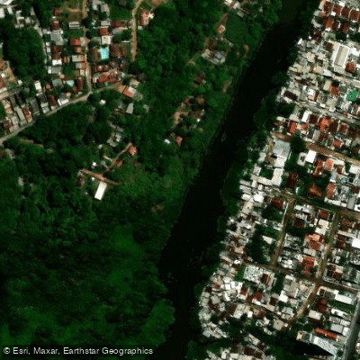
Rio Capibaribe
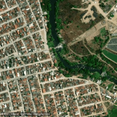
Rio Ipojuca
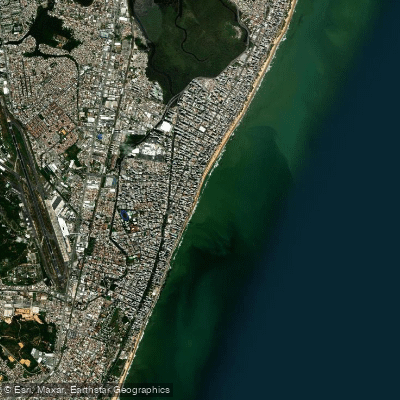
Praia de Boa Viagem
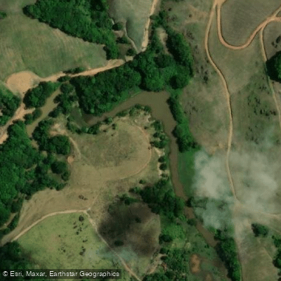
Rio Gurjaú
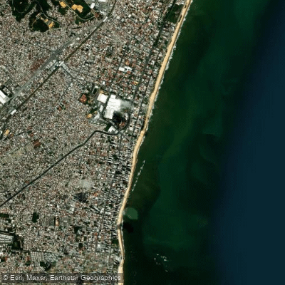
Praia de Piedade
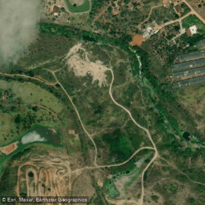
Rio Tapacurá
Rio Utinga
Praia de Candeias
Rio Capibaribe
Explore Pernambuco waters
Top paddling waters
No waters available right now.
Popular Cities
Loading popular cities...
Explore near Rio Jaboatão
Access points
Nearby waters
More in Pernambuco

Smarter Paddling Starts in the App.
Paddleways gives you everything you need to plan smarter, paddle better, and own every trip from first launch to takeout.