Praia de Graçandu
- Saltwater
- Beach
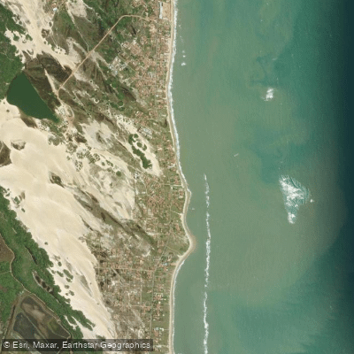
Praia de Graçandu
- Saltwater
- Beach
- Sq. miles
- 0.1
- Boat Ramps
- 0
- Access Points
- 0
- Campsites
- 0
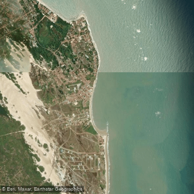
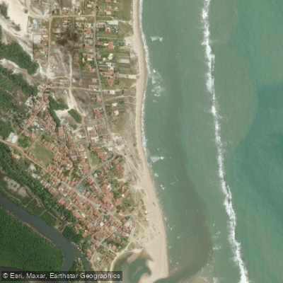
Praia de Graçandu is a beach located in the municipality of Extremoz, on the north coast of Rio Grande do Norte, Brazil. The beach sits at the mouth of the Rio Ceará-Mirim, with its foz visible from aerial views. The beach is characterized by fine sand and warm water, and it is part of a popular tourist route known as the Rota dos Nativos, which includes nearby attractions like the Dunas de Pitangui and the Lagoa de Pitangui. Access to the beach for paddlers launching from shore is straightforward, with the area featuring vacation rentals that offer free private parking, indicating available parking near the beachfront. The carry distance from parking to the water is likely short, given the descriptions of properties being "Poucos metros da Praia" or offering a "Linda vista para o mar." The beach's position at a river mouth suggests that paddlers can explore both the open ocean and the calmer waters of the Rio Ceará-Mirim. A notable route for paddlers is a crossing of the Rio Ceará-Mirim, which is part of a buggy tour itinerary where visitors are rowed across the river to reach Praia de Graçandu. This indicates that the river is navigable by small paddle craft. The nearby Lagoa de Pitangui, accessible by land from the beach, offers calm water paddling with kayaks available for rent there. The area is framed by dunes and coconut trees, contributing to its aesthetic. One environmental note mentions containers washing ashore on the beach, which could pose a transient hazard or indicate occasional debris. The overall vibe for paddlers is that of a launch point for exploring a dynamic coastline where river, ocean, and lagoon environments converge, though the beach itself is "bem sem graça" or rather plain.
Water access, boat ramps & amenities
Learn how to get on Praia de Graçandu. Uncover great paddling access points, boat ramps, and all the facilities you need for an unforgettable day on the water. Some locations shown may border or include private property. Always check property boundaries and applicable regulations before visiting. PaddleWays's Public & Private Land layer can help you plan your access with confidence.
Paddle smarter with real-time insights
Whether you're en route and conditions shift or you're looking for the best spot based on current flows, we enable you to make informed decisions on the fly.







Rio Grande Do Norte licenses and regulations
No licenses or regulations available for Rio Grande Do Norte.
Find Places to Paddle

Over 400,000 Places to Paddle
Every user gets free access to launch points, boat ramps, and public property parcels.


Tides, wind & water conditions (10 day forecast)
On open water, wind and tide matter as much as the weather. See the best times to paddle Praia de Graçandu and check the marine forecast before you launch.
Loading tide predictions…
Paddling near Praia de Graçandu
Rio Potengi
Rio Maxaranguape
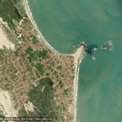
Praia de Pitangui
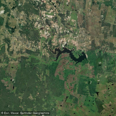
Açude Poço Branco
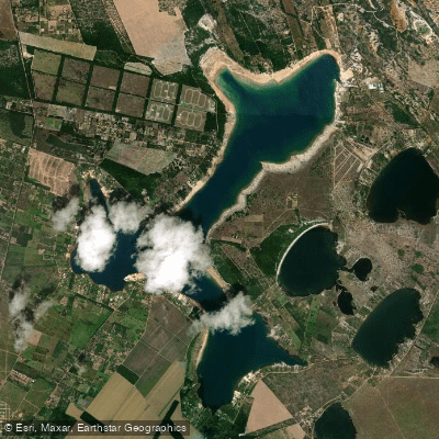
Lagoa Do Bonfim
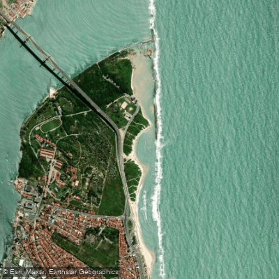
Praia do Forte
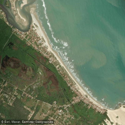
Praia de Jenipabu
Praia de Jacumã
Praia de Barra do Rio
Explore Rio Grande Do Norte waters
Top paddling waters
No waters available right now.
Popular Cities
Loading popular cities...
Explore near Praia de Graçandu

Smarter Paddling Starts in the App.
Paddleways gives you everything you need to plan smarter, paddle better, and own every trip from first launch to takeout.