Lagoa Do Peixe
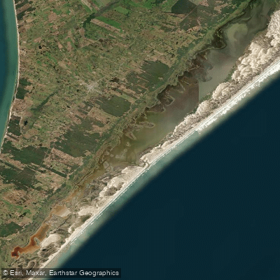
Lagoa Do Peixe
- Boat Ramps
- 0
- Access Points
- 0
- Campsites
- 0
Lagoa do Peixe is a long, narrow coastal lagoon situated on the Atlantic coastal plain of Rio Grande do Sul, within the boundaries of the Lagoa do Peixe National Park. The lagoon stretches approximately 40 kilometers in length and roughly 1 kilometer in width, with an exceptionally shallow water column — average depth around 0.65 meters and a maximum depth of only 60 to 65 centimeters. This extreme shallowness is one of the lagoon's defining physical characteristics and has direct implications for paddling, as it limits the draft of any vessel and can expose paddlers to wind-driven chop across a wide, open fetch.
The lagoon is technically a laguna rather than a true lake, as it maintains a connection to the Atlantic Ocean for much of the year through a channel known locally as the Barra. This tidal inlet creates a dynamic mix of freshwater and saltwater, influencing both water quality and the diversity of aquatic life. The lagoon is subdivided into distinct sections referred to locally as lagamares. The surrounding terrain is flat and sandy, dominated by coastal dunes, salt marshes, flooded grasslands, and restinga vegetation including cattails and reeds.
The park covers approximately 36,721 hectares and spans parts of the municipalities of Mostardas, São José do Norte, and Tavares. Access from Porto Alegre is via the RS-040 to Capivari do Sul, then continuing to Mostardas and Tavares via BR-101, a distance of roughly 200 kilometers over roads described as in reasonable condition. The area sees relatively low visitor traffic compared to the northern coast of Rio Grande do Sul, which keeps the environment comparatively undisturbed.
As a Ramsar Wetland of International Importance and a national park administered by ICMBio, the area is subject to conservation regulations. Paddlers should verify current access and activity permissions with park authorities before visiting, as restrictions may apply within protected zones. The lagoon is recognized internationally as a critical stopover for migratory shorebirds, and the surrounding wetlands support a wide range of bird species, making wildlife observation a significant draw for visitors. Leatherback turtles and the Brazilian guitarfish, both critically endangered, are also present in the park's waters.
Water access, boat ramps & amenities
Learn how to get on Lagoa Do Peixe. Uncover great paddling access points, boat ramps, and all the facilities you need for an unforgettable day on the water. Some locations shown may border or include private property. Always check property boundaries and applicable regulations before visiting. PaddleWays's Public & Private Land layer can help you plan your access with confidence.
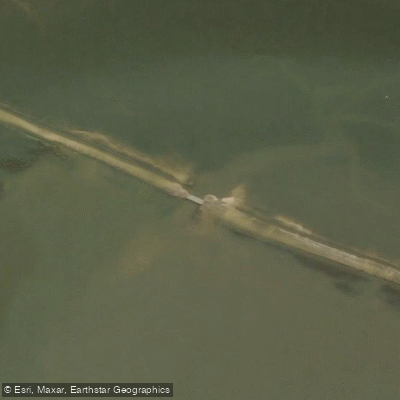
Paddle smarter with real-time insights
Whether you're en route and conditions shift or you're looking for the best spot based on current flows, we enable you to make informed decisions on the fly.







Rio Grande Do Sul licenses and regulations
No licenses or regulations available for Rio Grande Do Sul.
Find Places to Paddle

Over 400,000 Places to Paddle
Every user gets free access to launch points, boat ramps, and public property parcels.


Water and weather conditions (10 day forecast)
See the best times to paddle Lagoa Do Peixe and check the forecast before you go.
Tavares
All Flow Stations
Paddling near Lagoa Do Peixe
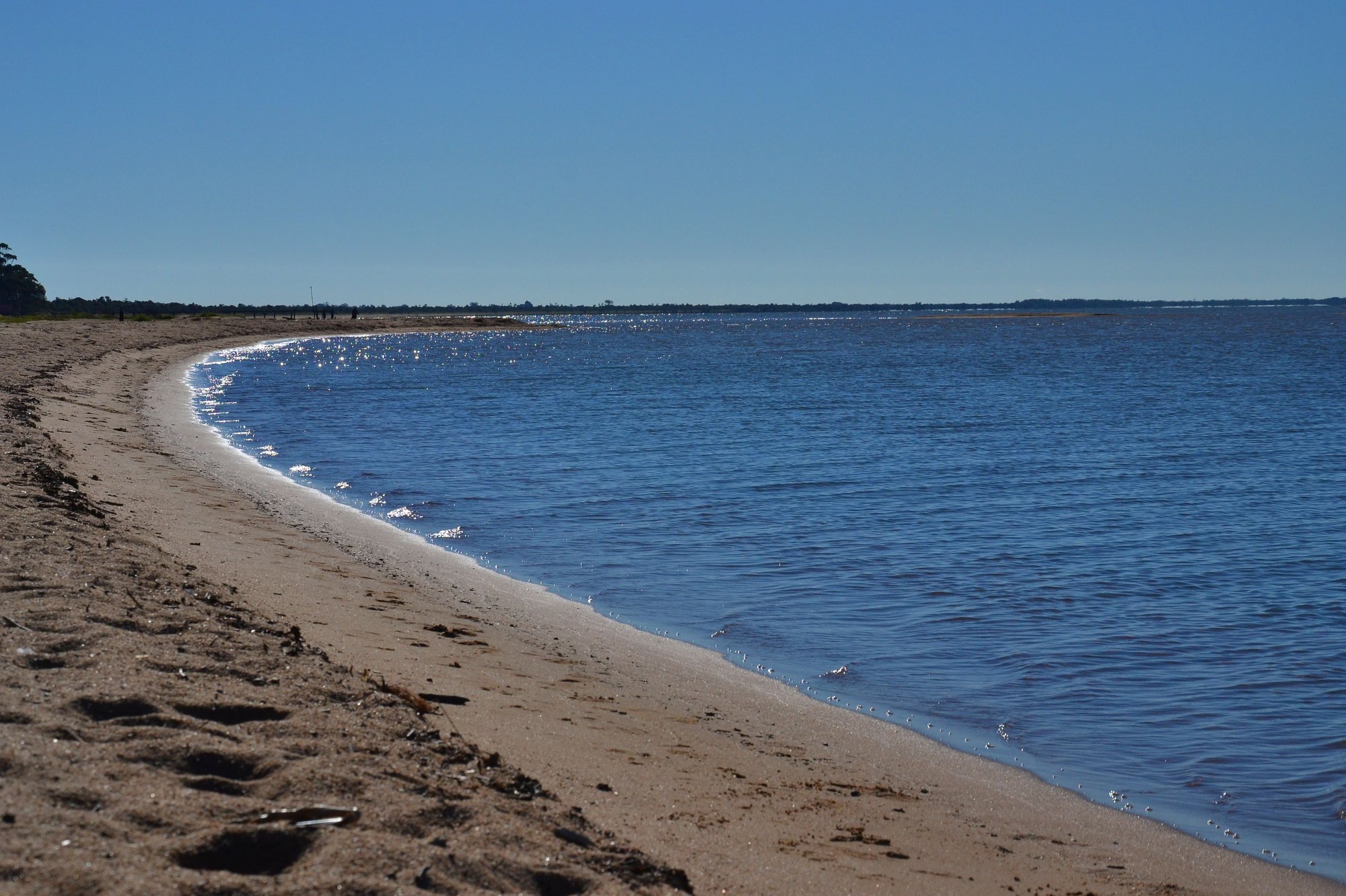
Lagoa Dos Patos

Rio Guaíba
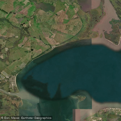
Saco do Laranjal
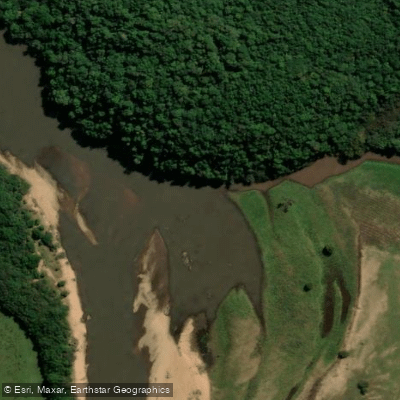
Rio Camaquã
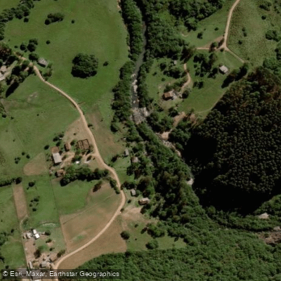
Rio Piratini Menor
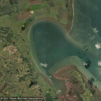
Saco do Silveira
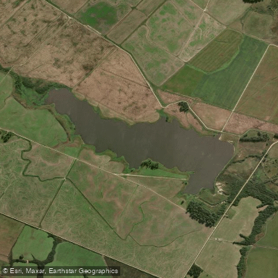
Arroio Retiro
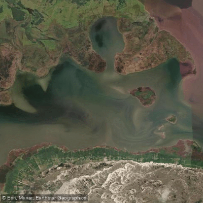
Saco do Arraial
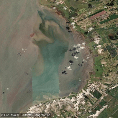
Saco do Mendanha
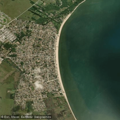
Praia do Laranjal
Explore Rio Grande Do Sul waters
Top paddling waters
No waters available right now.
Popular Cities
Loading popular cities...
Explore near Lagoa Do Peixe

Smarter Paddling Starts in the App.
Paddleways gives you everything you need to plan smarter, paddle better, and own every trip from first launch to takeout.