Rio Itapará

Rio Itapará
- Boat Ramps
- 0
- Access Points
- 8
- Campsites
- 0
The Rio Itapará is a river of approximately 200 kilometers in southern Roraima state, flowing through a remote section of the Amazon rainforest before joining the lower Rio Branco. Its mouth is located at roughly 0°26′S, 61°48′W, placing it within the broader Rio Negro drainage system, approximately 250 miles north of Manaus.
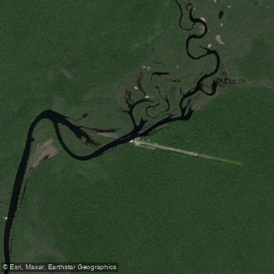
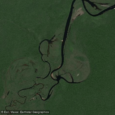
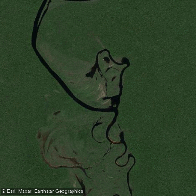
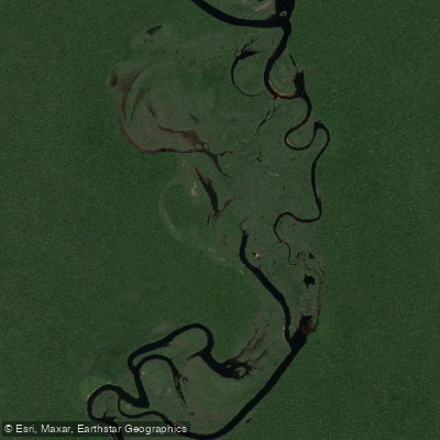
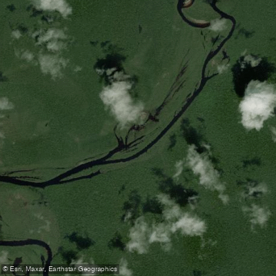
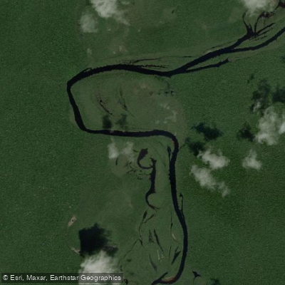
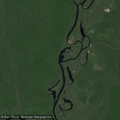
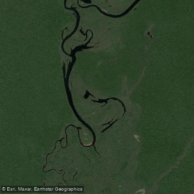
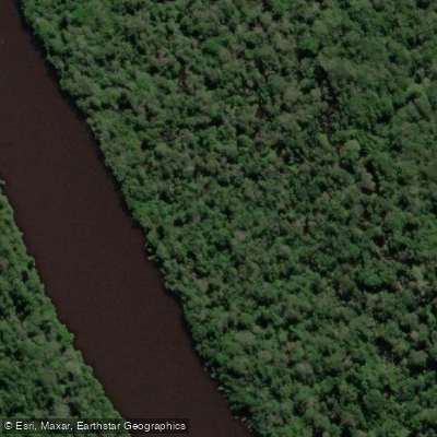
The river passes through largely untouched rainforest characterized by flooded forest (igapós), backwater channels, and hundreds of seasonal lakes and ponds that form as water levels drop during the dry season. The surrounding landscape is dense jungle with minimal roads or infrastructure, which preserves the area's remote character but also means logistical planning is essential for any expedition. Access to the region is primarily by charter flight from Manaus.
The dry season, running roughly from early October through late March, is when water levels recede and the seasonal lakes and lagoons become accessible. This period coincides with the established fishing season on the river, and paddlers should expect increased boat traffic from sport fishing operations during these months. The lodge operating on the river holds exclusive access rights to approximately 100 kilometers of the waterway, which may affect where independent paddlers can travel or camp along that stretch.
Wildlife is abundant throughout the region. The river and its associated flooded forests support arapaima, peacock bass, catfish, payara, and rays, reflecting the ecological richness of the system. The combination of main channel, igapó forest, and isolated lagoons creates a varied aquatic environment.
Given the extreme remoteness, absence of road infrastructure, and the presence of a commercial operation with exclusive river access over a significant portion of the waterway, paddlers planning a trip on the Rio Itapará should research current access arrangements carefully and plan for self-sufficient expedition conditions.
Water access, boat ramps & amenities
Learn how to get on Rio Itapará. Uncover great paddling access points, boat ramps, and all the facilities you need for an unforgettable day on the water. Some locations shown may border or include private property. Always check property boundaries and applicable regulations before visiting. PaddleWays's Public & Private Land layer can help you plan your access with confidence.
Paddle smarter with real-time insights
Whether you're en route and conditions shift or you're looking for the best spot based on current flows, we enable you to make informed decisions on the fly.







Roraima licenses and regulations
No licenses or regulations available for Roraima.
Find Places to Paddle

Over 400,000 Places to Paddle
Every user gets free access to launch points, boat ramps, and public property parcels.


Water and weather conditions (10 day forecast)
See the best times to paddle Rio Itapará and check the forecast before you go.
No forecast data available.
Explore Roraima waters
Top paddling waters
No waters available right now.
Popular Cities
Loading popular cities...
Explore near Rio Itapará
Access points
Nearby waters
More in Roraima

Smarter Paddling Starts in the App.
Paddleways gives you everything you need to plan smarter, paddle better, and own every trip from first launch to takeout.