Praia do Itararé
- Saltwater
- Beach
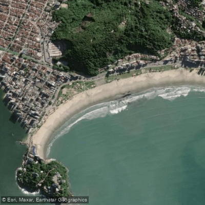
Praia do Itararé
- Saltwater
- Beach
- Sq. miles
- 0.1
- Boat Ramps
- 0
- Access Points
- 0
- Campsites
- 0
Praia do Itararé is an urban beach in São Vicente, within the Baixada Santista metropolitan region. It is approximately 700 meters long, situated between Ilha Porchat and Ilha Urubuqueçaba, bordering Santos. The beach is well-developed with a paved promenade, ample parking nearby, and direct vehicle access to the sand, making the carry distance for launching kayaks or SUPs minimal. The shoreline is characterized by a consistent shore break, with waves typically ranging from 1 to 2 meters, especially during autumn and winter when swells from the south and southeast are most consistent. These conditions create a shore break that can be challenging for launching and landing, particularly for beginners; the waves are considered intermediate level. The primary wind patterns are from the south or southeast, with mornings often providing the lightest winds and calmest surface conditions for paddling. The beach faces open ocean, offering little protection from prevailing winds and swells.
The area is highly urbanized, featuring a leisure complex with a playground and a beach garden planted with native Atlantic Forest trees. A notable landmark is the Teleférico (cable car) that transports visitors to the top of Morro do Itararé, used by hang gliders who land in a designated area on the shore. Paddlers can explore the coastline near the rocky formations of Ilha Porchat, which offer scenic views of São Vicente Bay and the historic Pênsil Bridge. The beach is a hub for water sports, regularly hosting surfing and stand-up paddleboarding competitions, indicating a vibrant, active atmosphere concentrated with a young crowd, especially during the summer. Facilities include 46 beachfront kiosks offering food and drinks, public restrooms, and showers.
Water access, boat ramps & amenities
Learn how to get on Praia do Itararé. Uncover great paddling access points, boat ramps, and all the facilities you need for an unforgettable day on the water. Some locations shown may border or include private property. Always check property boundaries and applicable regulations before visiting. PaddleWays's Public & Private Land layer can help you plan your access with confidence.
Paddle smarter with real-time insights
Whether you're en route and conditions shift or you're looking for the best spot based on current flows, we enable you to make informed decisions on the fly.







São Paulo licenses and regulations
No licenses or regulations available for São Paulo.
Find Places to Paddle

Over 400,000 Places to Paddle
Every user gets free access to launch points, boat ramps, and public property parcels.


Tides, wind & water conditions (10 day forecast)
On open water, wind and tide matter as much as the weather. See the best times to paddle Praia do Itararé and check the marine forecast before you launch.
Loading tide predictions…
Paddling near Praia do Itararé
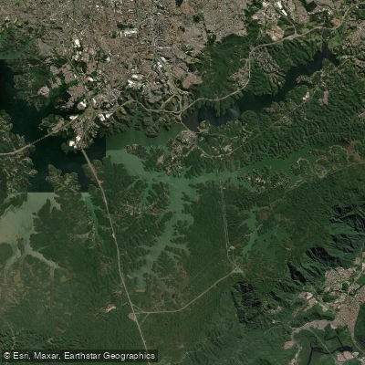
Represa Billings
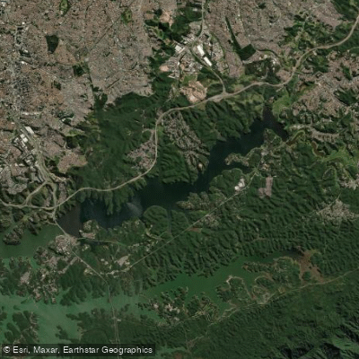
Represa Billings
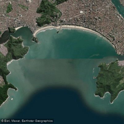
Baía de Santos
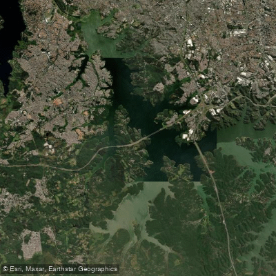
Represa Billings
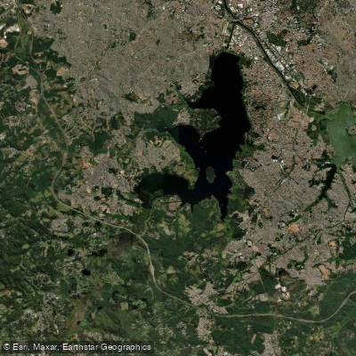
Represa Guarapiranga
Rio Jaguari
Rio Itapanhau
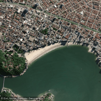
Praia do Gonzaguinha
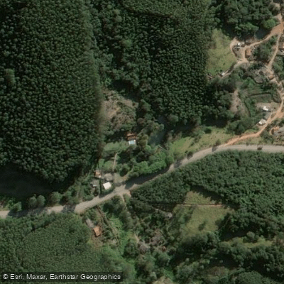
Rio Paraitinga
Explore São Paulo waters
Top paddling waters
No waters available right now.
Popular Cities
Loading popular cities...
Explore near Praia do Itararé

Smarter Paddling Starts in the App.
Paddleways gives you everything you need to plan smarter, paddle better, and own every trip from first launch to takeout.