Represa Billings
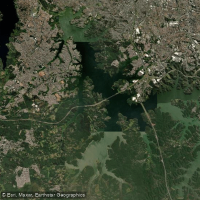
Represa Billings
- Boat Ramps
- 0
- Access Points
- 0
- Campsites
- 0
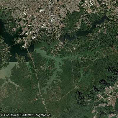
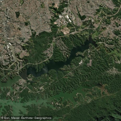
Represa Billings is the largest reservoir in the greater São Paulo metropolitan area, covering 127 square kilometers with a perimeter of approximately 900 kilometers and a mean depth of 10 meters. Total water volume is approximately 1,228.7 million cubic meters. The reservoir spans portions of several municipalities including São Bernardo do Campo, Santo André, Diadema, Ribeirão Pires, Rio Grande da Serra, and the city of São Paulo itself. It is divided into two compartments by a barrier: the larger Pedreira section at 112 square kilometers and the smaller Rio Grande section at 15 square kilometers. The reservoir was originally constructed for hydropower generation, with construction beginning in 1925 and reaching maximum capacity in 1950.
The reservoir supports active paddling, with kayaking and canoeing across its various arms. The NGO Meninos da Billings runs a project called Remada na Quebrada that offers canoeing lessons and organized paddling activities on the water. Organized boat tours operate along a route connecting the reservoir to Ilha do Bororé, a neighborhood in the Grajaú district on the southern edge of São Paulo, where ecotourism activities are available. The reservoir's many arms and inlets provide varied paddling terrain, and fishing from kayak is a popular activity, with tucunaré, traíra, giant trahira, and redbreast tilapia among the commonly caught species.
Access is primarily by car, with major routes including Avenida dos Bandeirantes and Rodovia dos Imigrantes. From São Paulo, paddlers typically travel 30 to 40 kilometers, with drive times ranging from 40 minutes to over an hour depending on traffic. Multiple access points exist around the reservoir, particularly in the São Bernardo do Campo area, reachable via Estrada do Rio Acima or Caminho do Mar. Avoiding peak traffic hours (7–9 a.m. and 5–8 p.m. on weekdays) is advisable.
Water quality is a known concern. The reservoir has experienced ongoing issues with wastewater discharge, plastic waste, and unapproved human settlement in surrounding areas, all of which affect water cleanliness. Paddlers should be aware of these conditions when planning contact with the water. Recreational vessels operating in Brazilian waters require registration and a Vessel Inscription Title (TIE/TIEM) from the Brazilian Navy, valid for five years.
Water access, boat ramps & amenities
Learn how to get on Represa Billings. Uncover great paddling access points, boat ramps, and all the facilities you need for an unforgettable day on the water. Some locations shown may border or include private property. Always check property boundaries and applicable regulations before visiting. PaddleWays's Public & Private Land layer can help you plan your access with confidence.
Paddle smarter with real-time insights
Whether you're en route and conditions shift or you're looking for the best spot based on current flows, we enable you to make informed decisions on the fly.







São Paulo licenses and regulations
No licenses or regulations available for São Paulo.
Find Places to Paddle

Over 400,000 Places to Paddle
Every user gets free access to launch points, boat ramps, and public property parcels.


Water and weather conditions (10 day forecast)
See the best times to paddle Represa Billings and check the forecast before you go.
Taqacetuba
All Flow Stations
Paddling near Represa Billings
Represa Billings
Represa Billings
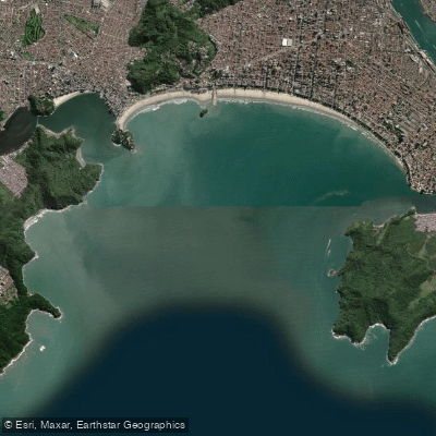
Baía de Santos
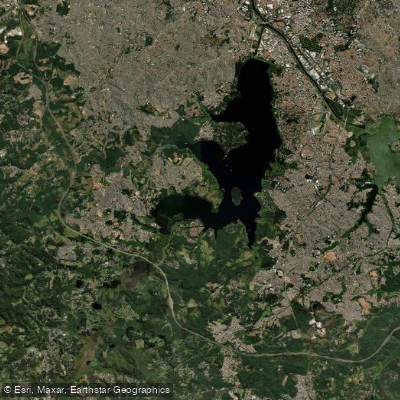
Represa Guarapiranga
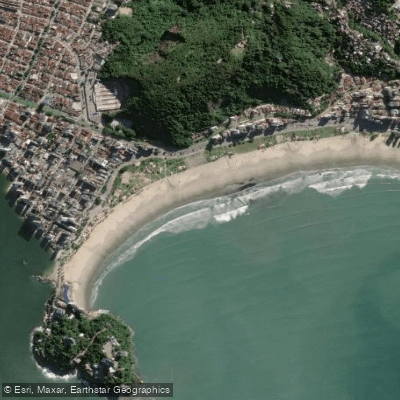
Praia do Itararé
Rio Jaguari
Rio Itapanhau
Praia do Gonzaguinha
Rio Paraitinga
Explore São Paulo waters
Top paddling waters
No waters available right now.
Popular Cities
Loading popular cities...
Explore near Represa Billings
Access points
Nearby waters
More in São Paulo

Smarter Paddling Starts in the App.
Paddleways gives you everything you need to plan smarter, paddle better, and own every trip from first launch to takeout.