Represa De Itupararanga
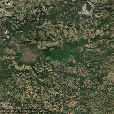
Represa De Itupararanga
- Boat Ramps
- 0
- Access Points
- 0
- Campsites
- 0
Represa de Itupararanga is a large freshwater reservoir in the Sorocaba region of São Paulo state, formed by the Itupararanga Dam on the Rio Sorocaba. Built between 1913 and 1914, the reservoir stretches approximately 26 kilometers along its main channel, with roughly 192 kilometers of shoreline and an estimated volume of 286 million cubic meters. The water depth averages between 3 and 8 meters, with a maximum of around 15 meters. The reservoir sits within the APA (Área de Proteção Ambiental) Itupararanga, a designated environmental protection zone that keeps the surrounding landscape relatively well preserved.
Located approximately 100 kilometers from São Paulo — about 1 hour and 40 minutes by car — the reservoir is accessible via the towns of Votorantim, Ibiúna, and Piedade, which offer various entry points around the water. Public transport to the reservoir is limited, and most visitors arrive by car. The road directly to the dam structure is narrow, unpaved, and fits only one vehicle at a time, making it impractical for most car travelers; paddlers are better served by accessing the water through the marinas and recreational areas distributed around the shoreline.
Kayaking and stand-up paddleboarding are well-suited to this reservoir, and kayak is specifically recommended for exploring the more preserved tributary arms of the lake. The best paddling conditions generally fall between March and October, which also corresponds to the prime fishing season when water temperatures range between 20 and 26°C. The reservoir is subject to water level fluctuations, particularly during the dry season, which can affect access and conditions.
Because the reservoir lies within an environmental protection area, regulations are actively enforced. Fishing with nets, cast nets, or longlines is prohibited, and a closed season runs from November 1 through February 28. Paddlers should carry out all waste, as the area is a conservation zone. Native fish species present include traíra, lambari, curimbatá, and cascudo, alongside introduced tilápia. Environmental enforcement is active, so paddlers should be aware of and respect all applicable regulations before launching. Weekday visits are generally less crowded than weekends, and early mornings or late afternoons offer calmer conditions on the water.
Water access, boat ramps & amenities
Learn how to get on Represa De Itupararanga. Uncover great paddling access points, boat ramps, and all the facilities you need for an unforgettable day on the water. Some locations shown may border or include private property. Always check property boundaries and applicable regulations before visiting. PaddleWays's Public & Private Land layer can help you plan your access with confidence.
Paddle smarter with real-time insights
Whether you're en route and conditions shift or you're looking for the best spot based on current flows, we enable you to make informed decisions on the fly.







São Paulo licenses and regulations
No licenses or regulations available for São Paulo.
Find Places to Paddle

Over 400,000 Places to Paddle
Every user gets free access to launch points, boat ramps, and public property parcels.


Water and weather conditions (10 day forecast)
See the best times to paddle Represa De Itupararanga and check the forecast before you go.
Res. Itupararanga (Meio Do Corpo Central)
All Flow Stations
Paddling near Represa De Itupararanga
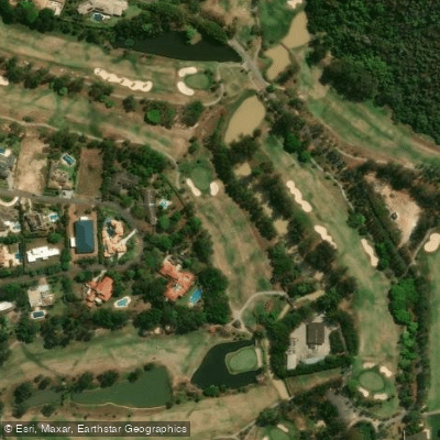
Ribeirão Pirapitingui
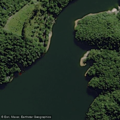
Rio do Peixe
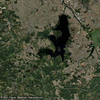
Represa Guarapiranga
Rio do Turvo
Represa Cachoeira Da França
Ribeirão Grande
Rio Juquiá
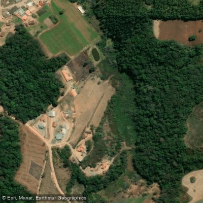
Ribeirão das Furnas
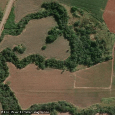
Ribeirão do Pinhal
Explore São Paulo waters
Top paddling waters
No waters available right now.
Popular Cities
Loading popular cities...
Explore near Represa De Itupararanga

Smarter Paddling Starts in the App.
Paddleways gives you everything you need to plan smarter, paddle better, and own every trip from first launch to takeout.