Rio Jaguari
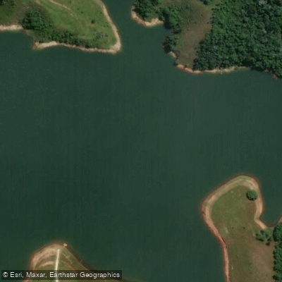
Rio Jaguari
- Boat Ramps
- 0
- Access Points
- 0
- Campsites
- 0
The Rio Jaguari is a river in São Paulo state in southeastern Brazil, flowing as a tributary of the Paraíba do Sul. The river is approximately 53.2 miles in length and is impounded along its course by the Represa de Jaguari, a reservoir located near São José dos Campos.
The Represa de Jaguari is accessible from São José dos Campos via a dirt road, or by taking the exit at kilometer 162 of the Dutra highway. A boat launch area exists at the reservoir, making it a practical put-in point for small craft. The water at the reservoir is clean. A small bar and restaurant operates near the boat launch area, though with variable hours, and on weekends temporary kiosks selling food and drinks are typically present in the nearby parking area overlooking the water. The reservoir also sees use by jet skis and fishing boats, particularly on weekends when it can become busy.
Brazilian regulations require recreational vessels to be registered with the Navy (DPC) and operators to obtain a Vessel Inscription Title (TIE/TIEM) before operating on Brazilian waters; this document is valid for five years. Paddlers planning a trip on the Rio Jaguari should confirm current access permissions and property boundaries, as some access points may border private land.
Water access, boat ramps & amenities
Learn how to get on Rio Jaguari. Uncover great paddling access points, boat ramps, and all the facilities you need for an unforgettable day on the water. Some locations shown may border or include private property. Always check property boundaries and applicable regulations before visiting. PaddleWays's Public & Private Land layer can help you plan your access with confidence.
Paddle smarter with real-time insights
Whether you're en route and conditions shift or you're looking for the best spot based on current flows, we enable you to make informed decisions on the fly.







São Paulo licenses and regulations
No licenses or regulations available for São Paulo.
Find Places to Paddle

Over 400,000 Places to Paddle
Every user gets free access to launch points, boat ramps, and public property parcels.


Water and weather conditions (10 day forecast)
See the best times to paddle Rio Jaguari and check the forecast before you go.
Sb-Ca-Eab-Ps Elevatória Paraíba Do Sul
All Flow Stations
Paddling near Rio Jaguari
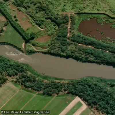
Rio Paraíba do Sul
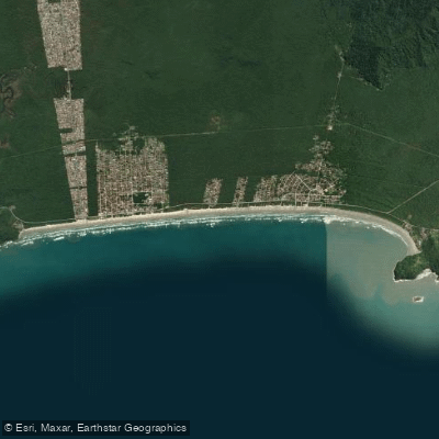
Praia da Boracéia
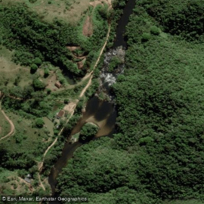
Rio Paraibuna
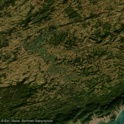
Represa Do Rio Paraibuna
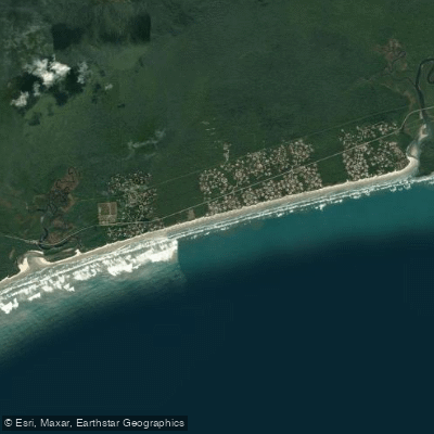
Praia de Guaratuba
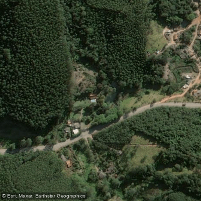
Rio Paraitinga
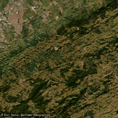
Represa Santa Branca
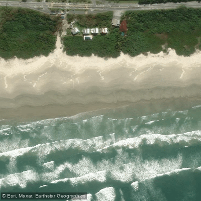
Praia de Boracéia
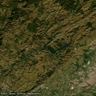
Represa Do Rio Jaguari
Explore São Paulo waters
Top paddling waters
No waters available right now.
Popular Cities
Loading popular cities...
Explore near Rio Jaguari

Smarter Paddling Starts in the App.
Paddleways gives you everything you need to plan smarter, paddle better, and own every trip from first launch to takeout.