Rio Cubatão
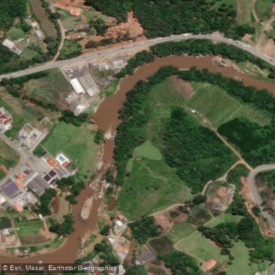
Rio Cubatão
- Boat Ramps
- 0
- Access Points
- 0
- Campsites
- 0
The Rio Cubatão, also known as the Rio Cubatão do Sul, originates within the Serra do Tabuleiro State Park — an 84,130-hectare protected area of mountainous Atlantic rainforest southwest of Florianópolis — and flows approximately 62 kilometers before emptying into the Atlantic Ocean near Palhoça. Along its course it passes through the municipalities of Santo Amaro da Imperatriz, Águas Mornas, São Pedro de Alcântara, and Palhoça. Its watershed covers roughly 738 square kilometers and serves as a primary water supply for the greater Florianópolis region, including the cities of Florianópolis, São José, Palhoça, Biguaçu, and Santo Amaro da Imperatriz.
The river is well established as a whitewater paddling destination, with commercial rafting and kayaking operations running out of Santo Amaro da Imperatriz. The standard rafting route covers approximately 3.5 kilometers and typically takes around two hours to complete. One put-in point is located near the village of Vargem Grande. The character of the run follows a common pattern for this type of river: the upper portion offers calmer water suitable for learning basic paddle technique, while the gradient increases downstream, producing narrower channels and faster whitewater. Rapid sections are interspersed with slower pools that allow for swimming. Cliff jumping is an optional activity at the end of at least one commercial kayaking route.
The surrounding landscape is defined by the Serra do Tabuleiro's rainforest-covered mountains, which frame the river throughout the run. Commercial operators offer guided rafting and whitewater kayaking, with group sizes on some tours capped at 35 participants. Safety equipment — helmet, life vest, and paddle — is standard issue, and wetsuits are available when conditions warrant. Guides operate in Portuguese, English, and Spanish on some tours. Participants are advised to bring a swimsuit, towel, dry clothes, and shoes that can get wet. The activity is accessible to a wide age range, with some operators accepting participants from age 8 or 12 depending on river conditions, up to age 79.
Water access, boat ramps & amenities
Learn how to get on Rio Cubatão. Uncover great paddling access points, boat ramps, and all the facilities you need for an unforgettable day on the water. Some locations shown may border or include private property. Always check property boundaries and applicable regulations before visiting. PaddleWays's Public & Private Land layer can help you plan your access with confidence.
Paddle smarter with real-time insights
Whether you're en route and conditions shift or you're looking for the best spot based on current flows, we enable you to make informed decisions on the fly.







Santa Catarina licenses and regulations
No licenses or regulations available for Santa Catarina.
Find Places to Paddle

Over 400,000 Places to Paddle
Every user gets free access to launch points, boat ramps, and public property parcels.


Water and weather conditions (10 day forecast)
See the best times to paddle Rio Cubatão and check the forecast before you go.
Águas Mornas
All Flow Stations
Paddling near Rio Cubatão
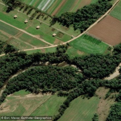
Rio Vargem do Braço
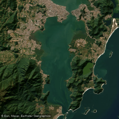
Baía Sul
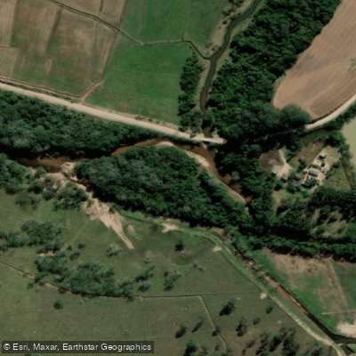
Rio da Madre
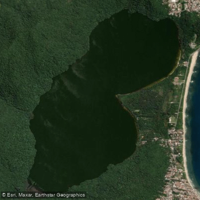
Lagoa Do Peri
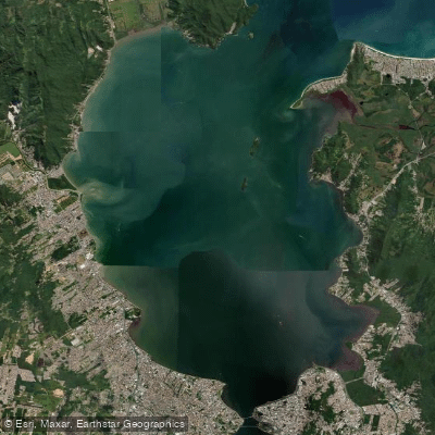
Baía Norte
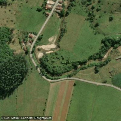
Rio Inferninho
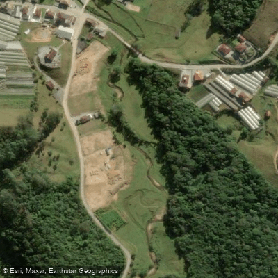
Rio dos Bugres
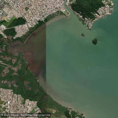
Baía da Palhoça
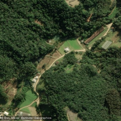
Rio Pequeno
Explore Santa Catarina waters
Top paddling waters
No waters available right now.
Popular Cities
Loading popular cities...
Explore near Rio Cubatão
Nearby waters
More in Santa Catarina

Smarter Paddling Starts in the App.
Paddleways gives you everything you need to plan smarter, paddle better, and own every trip from first launch to takeout.