Rio dos Bugres
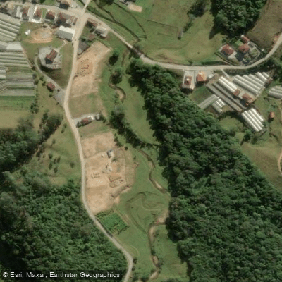
Rio dos Bugres
- Boat Ramps
- 0
- Access Points
- 0
- Campsites
- 0
The Rio dos Bugres in Santa Catarina, Brazil offers distinct experiences for paddlers and hikers, primarily centered around the municipality of Urubici. The river is known for the Cachoeira Rio dos Bugres, an impressive waterfall with a drop of approximately 218 meters. A short, well-defined trail of about 400 meters leads to this natural feature, which is a significant sight for visitors. The area also contains the Caverna Rio dos Bugres, a cave system with notable tunnels that can be explored, with guided tours typically lasting between two to eight hours. For paddlers, access points, boat ramps, and facilities for launching kayaks and paddleboards suggest the river is navigable in sections. The surrounding region features trails, such as the Cachoeira Rio dos Bugres trail, which is an out-and-back route covering 5.4 miles with an elevation gain of 1,082 feet, taking roughly two and a half to three hours to complete on foot. The combination of a major waterfall, cave systems, and designated paddling access creates an environment suited for a mix of water-based and terrestrial adventure tourism.
Water access, boat ramps & amenities
Learn how to get on Rio dos Bugres. Uncover great paddling access points, boat ramps, and all the facilities you need for an unforgettable day on the water. Some locations shown may border or include private property. Always check property boundaries and applicable regulations before visiting. PaddleWays's Public & Private Land layer can help you plan your access with confidence.
Paddle smarter with real-time insights
Whether you're en route and conditions shift or you're looking for the best spot based on current flows, we enable you to make informed decisions on the fly.







Santa Catarina licenses and regulations
No licenses or regulations available for Santa Catarina.
Find Places to Paddle

Over 400,000 Places to Paddle
Every user gets free access to launch points, boat ramps, and public property parcels.


Water and weather conditions (10 day forecast)
See the best times to paddle Rio dos Bugres and check the forecast before you go.
Águas Mornas
Paddling near Rio dos Bugres
Rio Cubatão
Rio Vargem do Braço
Baía Sul
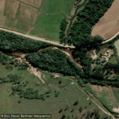
Rio da Madre
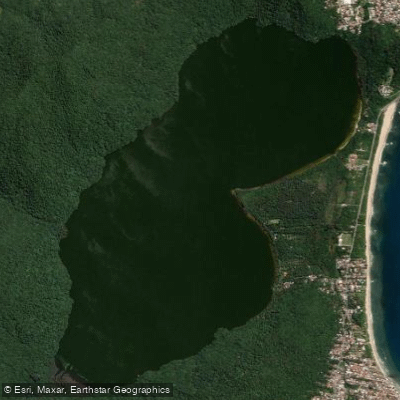
Lagoa Do Peri
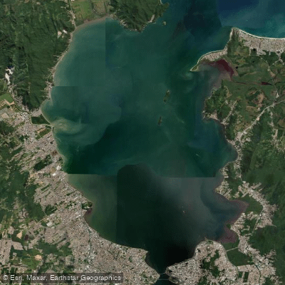
Baía Norte
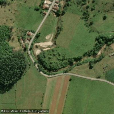
Rio Inferninho
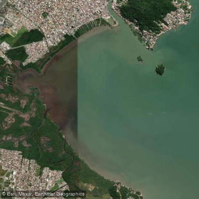
Baía da Palhoça
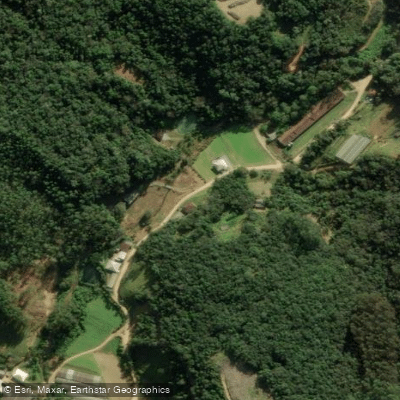
Rio Pequeno
Explore Santa Catarina waters
Top paddling waters
No waters available right now.
Popular Cities
Loading popular cities...
Explore near Rio dos Bugres
Nearby waters
More in Santa Catarina

Smarter Paddling Starts in the App.
Paddleways gives you everything you need to plan smarter, paddle better, and own every trip from first launch to takeout.