Rio Vargem do Braço
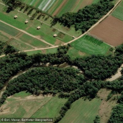
Rio Vargem do Braço
- Boat Ramps
- 0
- Access Points
- 0
- Campsites
- 0
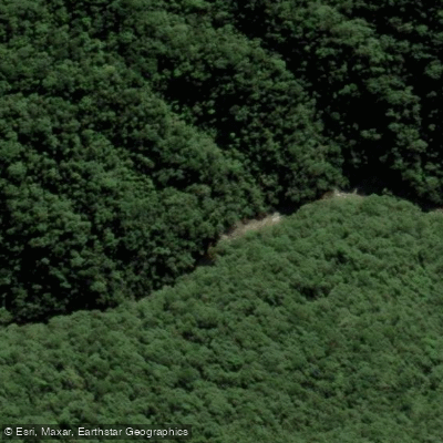
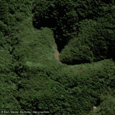
The Rio Vargem do Braço, also known as the Rio Vargem do Cedro and Rio Pilões, originates within the Serra do Tabuleiro State Park in Santa Catarina, Brazil. This protected area covers 84,130 hectares and was established in 1975. The Serra do Tabuleiro reaches altitudes above 1,200 metres, making it the largest mountain formation in the east-central portion of the state, and the river descends from this heavily forested highland environment.
The river flows east-northeast from its headwaters before joining the Cubatão River near that river's mouth on the Atlantic Ocean, at a point known as Morro da Pipa. Geologically, the river's current course is relatively recent — evidence suggests it previously flowed north-northwest before a tectonic event redirected it to its present alignment.
The Rio Vargem do Braço serves as the primary water supply source for the greater Florianópolis metropolitan region, a function that carries significant implications for any paddling activity in terms of potential access restrictions and water management considerations. Paddlers should verify current regulations with local authorities before planning a trip, as water supply rivers in Brazil are often subject to use restrictions.
The surrounding landscape is characterized by the dense Atlantic Forest cover of the Serra do Tabuleiro State Park, one of the larger protected areas in Santa Catarina. The community of Vargem do Braço is located near the river's mouth, providing the closest point of human settlement along the lower reach of the river.
Water access, boat ramps & amenities
Learn how to get on Rio Vargem do Braço. Uncover great paddling access points, boat ramps, and all the facilities you need for an unforgettable day on the water. Some locations shown may border or include private property. Always check property boundaries and applicable regulations before visiting. PaddleWays's Public & Private Land layer can help you plan your access with confidence.
Paddle smarter with real-time insights
Whether you're en route and conditions shift or you're looking for the best spot based on current flows, we enable you to make informed decisions on the fly.







Santa Catarina licenses and regulations
No licenses or regulations available for Santa Catarina.
Find Places to Paddle

Over 400,000 Places to Paddle
Every user gets free access to launch points, boat ramps, and public property parcels.


Water and weather conditions (10 day forecast)
See the best times to paddle Rio Vargem do Braço and check the forecast before you go.
Vargem Do Braço
Paddling near Rio Vargem do Braço
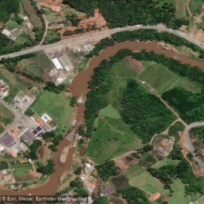
Rio Cubatão
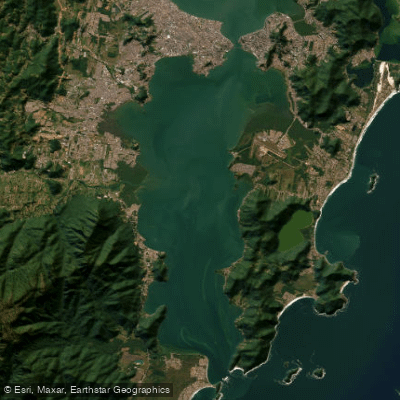
Baía Sul
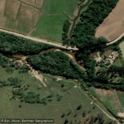
Rio da Madre
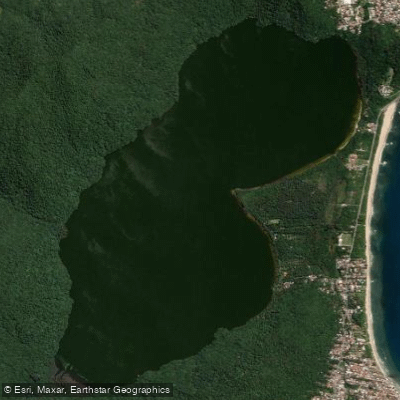
Lagoa Do Peri
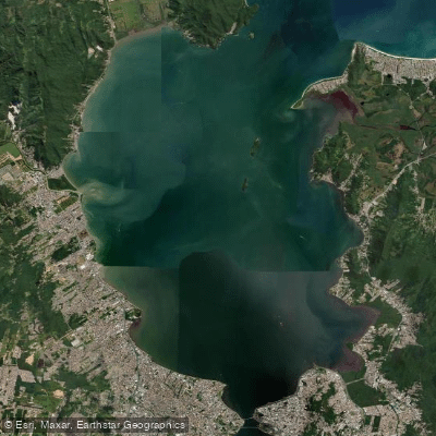
Baía Norte
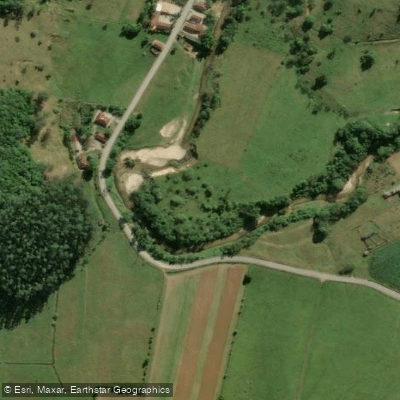
Rio Inferninho
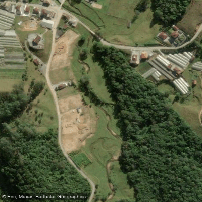
Rio dos Bugres
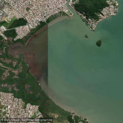
Baía da Palhoça
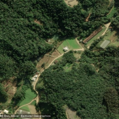
Rio Pequeno
Explore Santa Catarina waters
Top paddling waters
No waters available right now.
Popular Cities
Loading popular cities...
Explore near Rio Vargem do Braço
Nearby waters
More in Santa Catarina

Smarter Paddling Starts in the App.
Paddleways gives you everything you need to plan smarter, paddle better, and own every trip from first launch to takeout.