Rivière des Rochers
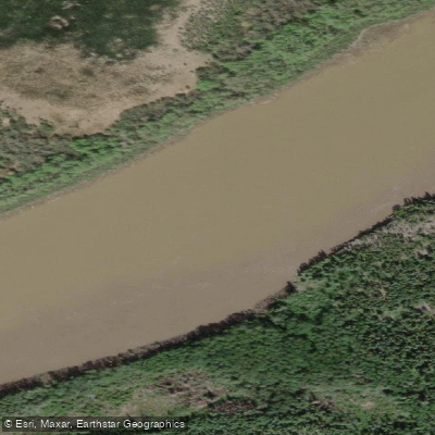
Rivière des Rochers
- Boat Ramps
- 0
- Access Points
- 0
- Campsites
- 0
The Rivière des Rochers is a significant waterway in northern Alberta, flowing north from Lake Athabasca through the Peace–Athabasca Delta and Wood Buffalo National Park before joining the Peace River to form the Slave River. Its name derives from the French for "River of Rocks." The river is one of the main outflows of Lake Athabasca and winds through a landscape of islands and wetlands within one of the largest freshwater deltas in the world.
The river forms part of a recognized paddling corridor along the Trans Canada Trail, connecting the Athabasca River system to the Slave River. A well-documented route runs from Fort Chipewyan to Fitzgerald (also referred to as the reach to Fort Smith), continuing onward to Great Slave Lake. This makes the Rivière des Rochers a component of longer wilderness canoe expeditions rather than a standalone day-trip destination. Paddlers typically access the route through Fort Chipewyan, with logistical support available at the Parks Canada Visitor Reception Centres in both Fort Chipewyan and Fort Smith, where backcountry camping permits are required and can be obtained.
As with all major river corridors in Wood Buffalo National Park, paddlers should be prepared for natural hazards including high and low water levels, inclement weather, unmarked channels, and submerged rocks. The river is classified as big-river wilderness paddling, suited to experienced backcountry paddlers. Recreational boating is permitted along the river corridor within the park.
The river and its surrounding waters support populations of whitefish, walleye, northern pike, and goldeye, though the water tends to be muddy and silty. The broader delta ecosystem is home to the world's largest herd of free-roaming wood bison, as well as diverse wetland wildlife. The Peace–Athabasca Delta through which the river flows is recognized as one of the largest freshwater deltas globally, lending the paddling experience a remote and ecologically significant character. Canoe rentals are available from the Fort Smith Visitor Centre from mid-May through September.
Water access, boat ramps & amenities
Learn how to get on Rivière des Rochers. Uncover great paddling access points, boat ramps, and all the facilities you need for an unforgettable day on the water. Some locations shown may border or include private property. Always check property boundaries and applicable regulations before visiting. PaddleWays's Public & Private Land layer can help you plan your access with confidence.
Paddle smarter with real-time insights
Whether you're en route and conditions shift or you're looking for the best spot based on current flows, we enable you to make informed decisions on the fly.







Ab licenses and regulations
No licenses or regulations available for Ab.
Find Places to Paddle

Over 400,000 Places to Paddle
Every user gets free access to launch points, boat ramps, and public property parcels.


Water and weather conditions (10 day forecast)
See the best times to paddle Rivière des Rochers and check the forecast before you go.
RIVIERE DES ROCHERS ABOVE SLAVE RIVER
All Flow Stations
Paddling near Rivière des Rochers
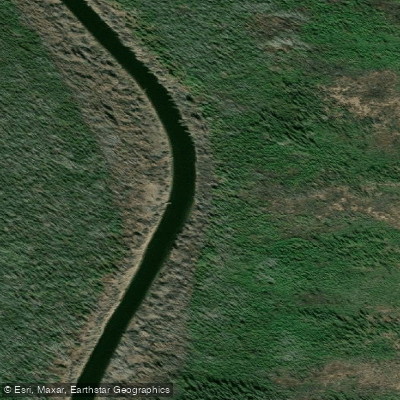
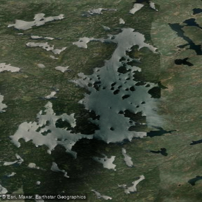
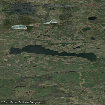
Explore Ab waters
Top paddling waters
No waters available right now.
Popular Cities
Loading popular cities...
Explore near Rivière des Rochers
Nearby waters
More in Ab

Smarter Paddling Starts in the App.
Paddleways gives you everything you need to plan smarter, paddle better, and own every trip from first launch to takeout.