Dewdney Historic Trail
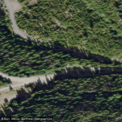
Dewdney Historic Trail
The Dewdney Historic Trail is a 720-kilometre route stretching across southern British Columbia from Hope on the Fraser River to Wild Horse Creek near Fort Steele in the East Kootenays.
Built in two stages — Hope to Rock Creek in 1861 and onward to the East Kootenays by 1865 — it was constructed to give the British colony a direct Canadian supply corridor to gold rush camps that were otherwise more easily reached from Washington Territory to the south.
Named after lead engineer Edgar Dewdney, the trail crosses the Cascade, Monashee, Selkirk, and Purcell mountain ranges, connecting coastal valleys with a series of interior river valleys within the Columbia watershed.
Though much of the original trail has been lost, its influence persists: the Crowsnest Highway 3 follows nearly the same alignment Dewdney surveyed in the 1860s.
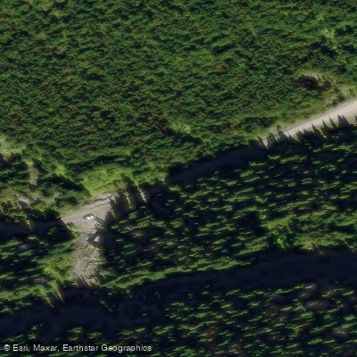
Surviving sections remain hikeable today, with one documented segment between Christina Lake and Santa Rosa spanning roughly 14. 5 kilometres and offering multiple road-crossing access points along the way.
Nearby points of interest
Find excellent paddling spots, easy access to boat ramps, and all the amenities you need for a memorable day. Your adventure starts here.
Water and weather conditions (10 day forecast)
Check the forecast at Dewdney Historic Trail before you go paddling.
No forecast data available.
Paddling near Dewdney Historic Trail
Bc licenses and regulations
Explore Bc waters
Top paddling waters
No waters available right now.
Popular Cities
Loading popular cities...
Explore near Dewdney Historic Trail

Smarter Paddling Starts in the App.
Paddleways gives you everything you need to plan smarter, paddle better, and own every trip from first launch to takeout.