Lower Arrow Lake
Lower Arrow Lake
- Boat Ramps
- 4
- Access Points
- 5
- Campsites
- 5
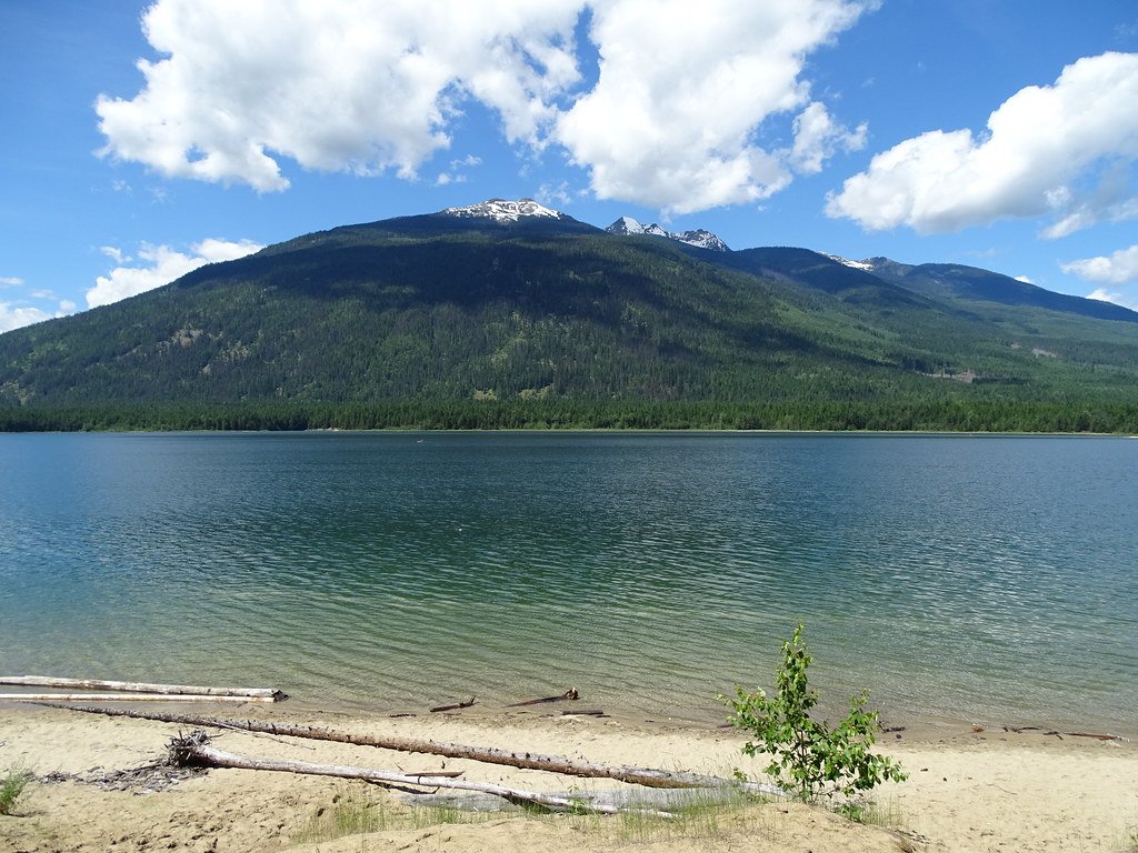
Lower Arrow Lake is the southern portion of the Arrow Lakes system in British Columbia's Kootenay region, formed where the Columbia River widens between the Selkirk Mountains to the east and the Monashee Mountains to the west. The lake sits at a surface elevation of 429 metres. Beachland is relatively scarce along its shores, interspersed with rocky headlands and steep cliffs, while the heavily forested mountain sides rise sharply to elevations around 2,600 metres. The lake never freezes, making year-round paddling possible.
The primary access point for paddlers is Syringa Creek Provincial Park, located 19 kilometres from Castlegar via Highway 3A and the Robson (Broadwater Road) exit. The park provides a day-use area, a large parking lot, and a boat launch. Additional launch points include the Deer Park Boat Launch and the Renata Boat Launch. Scotties Marina is also located on the lake. The Waterfront at Arrow Lakes Marina, situated on Lower Arrow Lake, offers moorage and related services.
Wind speeds on Arrow Lakes are typically low year-round, ranging from 0 to 6 m/s, which generally makes conditions suitable for canoes, kayaks, and stand-up paddleboards. The majority of the shoreline is Crown Land, particularly on the west side, which allows paddlers to pull over and camp along the route. The east side of the lake has more private land. As the lakes are reservoir systems, paddlers may encounter submerged stumps and old trees in the water.
The Arrow Lakes system offers approximately 230 kilometres of paddling opportunity in total, with the full route running from Castlegar north through Nakusp to Revelstoke. Along the way, paddlers can find numerous waterfalls and sandy beaches. The south side of Lower Arrow Lake is accessible via the Boundary Pathway Trail, though vehicles are not permitted on that side.
Fish species in the lake include rainbow trout, bull trout, kokanee, Dolly Varden, and whitefish near creek mouths. Sturgeon are known to inhabit the lake but are caught very rarely. Summer water temperatures average between 20–25°C. Wildlife along the access road to Syringa Creek Provincial Park includes Bighorn Sheep, which are frequently seen on the roadside. Anyone fishing in British Columbia requires an appropriate licence.
Water access, boat ramps & amenities
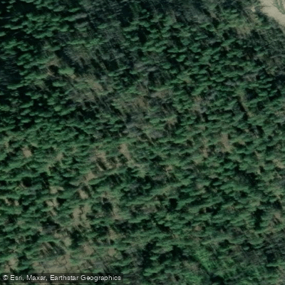
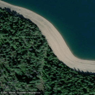
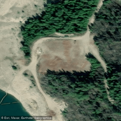
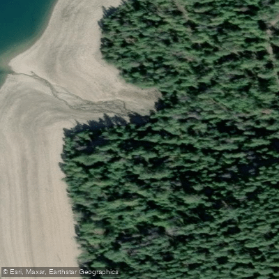
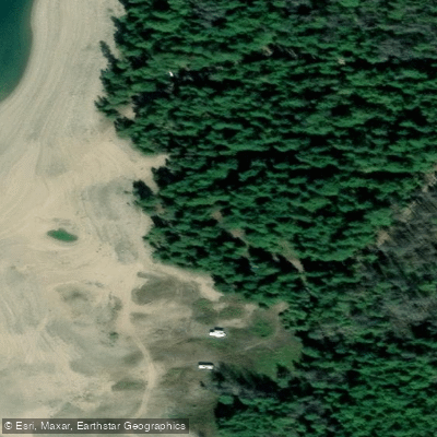
Learn how to get on Lower Arrow Lake. Uncover great paddling access points, boat ramps, and all the facilities you need for an unforgettable day on the water. Some locations shown may border or include private property. Always check property boundaries and applicable regulations before visiting. PaddleWays's Public & Private Land layer can help you plan your access with confidence.
Paddle smarter with real-time insights
Whether you're en route and conditions shift or you're looking for the best spot based on current flows, we enable you to make informed decisions on the fly.







Bc licenses and regulations
No licenses or regulations available for Bc.
Find Places to Paddle

Over 400,000 Places to Paddle
Every user gets free access to launch points, boat ramps, and public property parcels.


Water and weather conditions (10 day forecast)
See the best times to paddle Lower Arrow Lake and check the forecast before you go.
ARROW RESERVOIR AT FAUQUIER
Paddling near Lower Arrow Lake
Explore Bc waters
Top paddling waters
No waters available right now.
Popular Cities
Loading popular cities...
Explore near Lower Arrow Lake
Access points
Nearby waters
More in Bc

Smarter Paddling Starts in the App.
Paddleways gives you everything you need to plan smarter, paddle better, and own every trip from first launch to takeout.