Ochre River
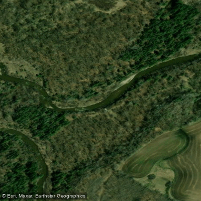
Ochre River
- Boat Ramps
- 0
- Access Points
- 0
- Campsites
- 2
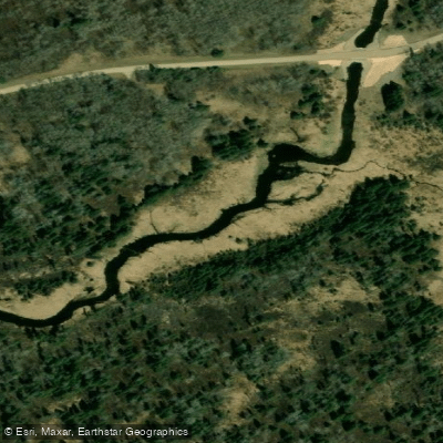
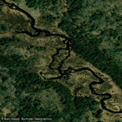
The Ochre River in Manitoba offers a compact one-day canoe route of approximately 25 kilometres, making it a manageable trip for paddlers looking to explore the Riding Mountain region. The river drains through the eastern portion of Riding Mountain National Park and the surrounding parkland, passing through a mix of enclosed forest, valley meadow, and aspen parkland habitat.
Access to the river is found by heading south on Highway 582 from the town of Ochre River. After crossing the second bridge, take the first right turn, then turn right again after 1.6 kilometres and follow the road to the border of Riding Mountain National Park. An alternative put-in has been noted east of the town of Ochre River via a gravel road heading north off the highway.
The corridor along the Ochre River supports a notable variety of wildlife, with lynx, moose, elk, and wolves documented in the area. Paddlers moving quietly through the valley can reasonably expect wildlife sightings, particularly in the forested stretches closer to the park boundary.
Given the route's proximity to Riding Mountain National Park, paddlers should be aware that park regulations may apply to portions of the river, and it is advisable to check with Parks Canada regarding any permits or restrictions before launching. The route is listed as completable in a single day, though conditions along the river — including water levels and any portaging requirements — are not well documented, so paddlers should seek local knowledge before committing to the trip.
Water access, boat ramps & amenities
Learn how to get on Ochre River. Uncover great paddling access points, boat ramps, and all the facilities you need for an unforgettable day on the water. Some locations shown may border or include private property. Always check property boundaries and applicable regulations before visiting. PaddleWays's Public & Private Land layer can help you plan your access with confidence.
Paddle smarter with real-time insights
Whether you're en route and conditions shift or you're looking for the best spot based on current flows, we enable you to make informed decisions on the fly.







Mb licenses and regulations
No licenses or regulations available for Mb.
Find Places to Paddle

Over 400,000 Places to Paddle
Every user gets free access to launch points, boat ramps, and public property parcels.


Water and weather conditions (10 day forecast)
See the best times to paddle Ochre River and check the forecast before you go.
OCHRE RIVER AT OCHRE RIVER
Paddling near Ochre River
Explore Mb waters
Top paddling waters
No waters available right now.
Popular Cities
Loading popular cities...
Explore near Ochre River

Smarter Paddling Starts in the App.
Paddleways gives you everything you need to plan smarter, paddle better, and own every trip from first launch to takeout.