Valley River
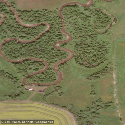
Valley River
- Boat Ramps
- 0
- Access Points
- 0
- Campsites
- 1
The Valley River is a river in southwestern Manitoba, approximately 145 kilometres long, originating in the Duck Mountains and flowing eastward through a deep valley that separates the Duck Mountains to the north from the Riding Mountains to the south, before draining into Dauphin Lake. The river descends from an elevation of roughly 671 metres above sea level at its source to 261 metres at its mouth. It flows through the Rural Municipalities of Grandview and Dauphin, passing through farmland along much of its paddleable length.
The recommended paddling section runs from Provincial Road 274 near Gilbert Plains to Provincial Road 362, covering approximately 32 kilometres over two days. The trip can be extended by starting further west than Gilbert Plains and finishing at Highway 10. The river carries a Class II rating and is generally canoeable until late May, making spring the primary paddling season. There are no portages on the standard route.
Paddlers should watch for sweepers, rocks, and deadfall throughout the trip. The river travels through farmland, though the high banks on either side largely screen agricultural areas from view. Campsites along the route are scarce but not crowded. The valley itself is a notable geographical feature, carved through ancient glacial deposits associated with Lake Agassiz and forming a prominent cut in the Manitoba Escarpment landscape.
The Valley River is recognized as one of several popular paddle routes in the western parkland region of Manitoba, alongside the Assiniboine, Red Deer, Woody, Swan, Whirlpool, and Turtle rivers.
Water access, boat ramps & amenities
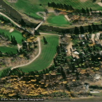
Learn how to get on Valley River. Uncover great paddling access points, boat ramps, and all the facilities you need for an unforgettable day on the water. Some locations shown may border or include private property. Always check property boundaries and applicable regulations before visiting. PaddleWays's Public & Private Land layer can help you plan your access with confidence.
Paddle smarter with real-time insights
Whether you're en route and conditions shift or you're looking for the best spot based on current flows, we enable you to make informed decisions on the fly.







Mb licenses and regulations
No licenses or regulations available for Mb.
Find Places to Paddle

Over 400,000 Places to Paddle
Every user gets free access to launch points, boat ramps, and public property parcels.


Water and weather conditions (10 day forecast)
See the best times to paddle Valley River and check the forecast before you go.
VALLEY RIVER NEAR DAUPHIN
All Flow Stations
Paddling near Valley River
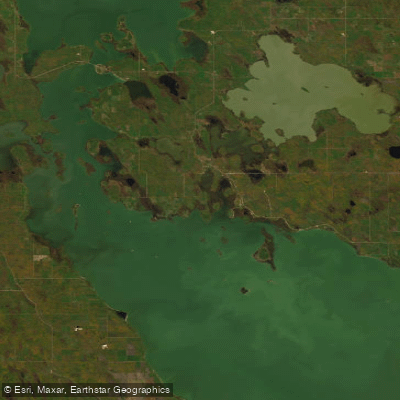
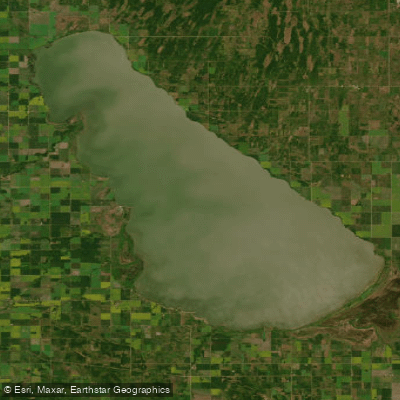
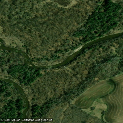
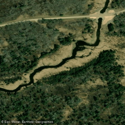
Explore Mb waters
Top paddling waters
No waters available right now.
Popular Cities
Loading popular cities...
Explore near Valley River

Smarter Paddling Starts in the App.
Paddleways gives you everything you need to plan smarter, paddle better, and own every trip from first launch to takeout.