Little Saskatchewan River
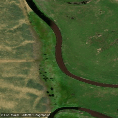
Little Saskatchewan River
- Boat Ramps
- 0
- Access Points
- 0
- Campsites
- 2
The Little Saskatchewan River originates at Lake Audy in Riding Mountain National Park and flows approximately 185 km south through western Manitoba, passing through the communities of Minnedosa and Rapid City before joining the Assiniboine River about 9.7 km west of Brandon. The watershed covers roughly 3,600 km² and includes several man-made reservoirs: Minnedosa Lake, Rapid City Reservoir, and Lake Wahtopanah. For much of its course the river winds through a deep and scenic valley. It is a small river well suited to paddlers, not readily navigable by larger craft.
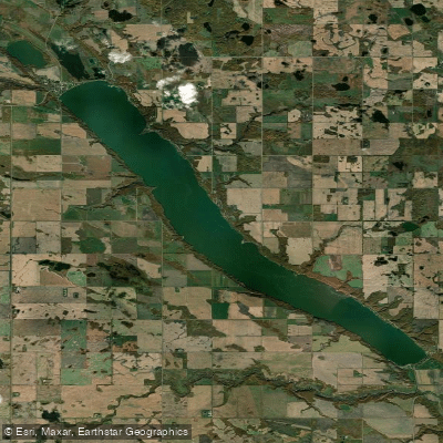
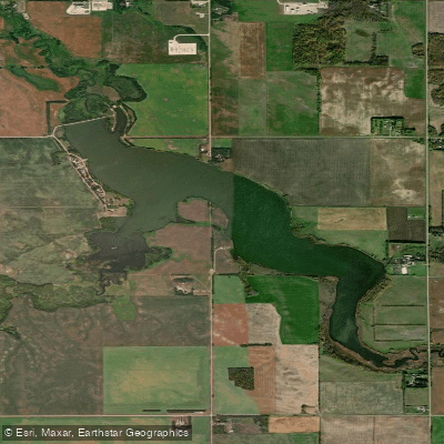
The most commonly paddled section runs from the boat launch at Rivers Provincial Park south to the confluence with the Assiniboine. The put-in is at Rivers Provincial Park, located approximately 14 km north of Brandon on Highway 10, then 22 km west on Highway 25. The park sits on Lake Wahtopanah, a reservoir roughly 610 metres wide and 9.7 km long created by damming the river. The route begins with a crossing of this reservoir, which is exposed to wind from the west and northwest. At the west end of the lake, paddlers must portage around the Rivers Dam, carrying on a dirt road heading west, passing under a bridge, then putting in below the bridge before immediately taking out again on river right to carry around a weir. Both carries are short and on flat ground. The take-out is at the confluence with the Assiniboine, approximately 9.7 km west of Brandon, accessible via rural roads off Highway 10 or Highway 1A. There is no formal boat launch at the confluence, and scouting the take-out in advance is recommended. A car shuttle between put-in and take-out covers roughly 40 km by road. NTS maps 62 F/16 (Alexander) and 62 K/1 (Rivers) cover the route corridor.
The section below the dam features a large elevation drop with continuous fast water and Class I rapids but no major rapids. This is considered a spring run, typically paddled in April, May, or into the first three weeks of June depending on runoff. One paddler completed the route in approximately 7.5 hours by kayak and 12.5 hours by canoe under moderate to exceptional spring runoff conditions in June 2007.
Along the lower river, the concrete foundation of Manitoba's first hydroelectric generating station — the Ten Mile Dam, built in 1900 and decommissioned in 1924 — remains visible on the east bank. Rivers Provincial Park offers camping, a beach, boat dock and launch, fishing, and picnic facilities.
Water access, boat ramps & amenities
Learn how to get on Little Saskatchewan River. Uncover great paddling access points, boat ramps, and all the facilities you need for an unforgettable day on the water. Some locations shown may border or include private property. Always check property boundaries and applicable regulations before visiting. PaddleWays's Public & Private Land layer can help you plan your access with confidence.
Paddle smarter with real-time insights
Whether you're en route and conditions shift or you're looking for the best spot based on current flows, we enable you to make informed decisions on the fly.







Mb licenses and regulations
No licenses or regulations available for Mb.
Find Places to Paddle

Over 400,000 Places to Paddle
Every user gets free access to launch points, boat ramps, and public property parcels.


Water and weather conditions (10 day forecast)
See the best times to paddle Little Saskatchewan River and check the forecast before you go.
LITTLE SASKATCHEWAN RIVER NEAR MINNEDOSA
All Flow Stations
Paddling near Little Saskatchewan River

Explore Mb waters
Top paddling waters
No waters available right now.
Popular Cities
Loading popular cities...
Explore near Little Saskatchewan River

Smarter Paddling Starts in the App.
Paddleways gives you everything you need to plan smarter, paddle better, and own every trip from first launch to takeout.