Flat River
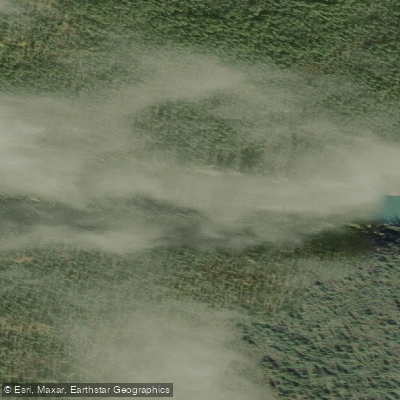
Flat River
- Boat Ramps
- 0
- Access Points
- 0
- Campsites
- 0
The Flat River in the Northwest Territories flows through remote wilderness terrain before joining the Nahanni River, and is best understood as two distinct stretches with markedly different characters. The upper stretch, from Paddler's Lake to Irvine Creek, is a fun and challenging whitewater river that also presents logjam hazards. The lower stretch, downstream of Irvine Creek to the confluence with the Nahanni, is the flatter, more open water that gives the river its name.
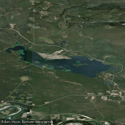
A recommended put-in is at Paddler's Lake, which offers a gentler introduction to the river. From there the water is initially calm, gradually becoming a narrow, twisting channel that remains manageable. As the river passes through the former Cantung Mine and Tungsten townsite area, the first notable rapid appears — a drop of roughly one metre over a short distance — followed by several more rapids requiring scouting. Paddlers who begin at Seaplane Lake miss this upper whitewater section entirely.
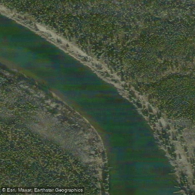
Between Gatehouse Creek and Irvine Creek, the river can be paddled in approximately two days, with a campsite at Bennett Creek along the way. This section includes a mandatory 850-metre portage trail around the Cascade of the Thirteen Steps. From Irvine Creek to the confluence with the Nahanni covers roughly 85 km and takes about two days at an easy pace. A notable feature along this lower stretch is a series of hoodoos — limestone pillars formed by differential erosion — located on the steep mountainside on river left, just upstream of the Caribou River. Parks Canada notes that some of these pillars reach 15 metres in height.
Many paddlers continue beyond the Flat River onto the Nahanni and then the Liard River, taking out at Lindberg Landing, adding approximately seven more days of travel through canyon scenery. The Flat River corridor passes through a mountainous landscape, and the transition from the mountains to lower terrain is a notable geographic shift experienced on the downstream journey.
Water access, boat ramps & amenities
Learn how to get on Flat River. Uncover great paddling access points, boat ramps, and all the facilities you need for an unforgettable day on the water. Some locations shown may border or include private property. Always check property boundaries and applicable regulations before visiting. PaddleWays's Public & Private Land layer can help you plan your access with confidence.
Paddle smarter with real-time insights
Whether you're en route and conditions shift or you're looking for the best spot based on current flows, we enable you to make informed decisions on the fly.







Nt licenses and regulations
No licenses or regulations available for Nt.
Find Places to Paddle

Over 400,000 Places to Paddle
Every user gets free access to launch points, boat ramps, and public property parcels.


Water and weather conditions (10 day forecast)
See the best times to paddle Flat River and check the forecast before you go.
FLAT RIVER NEAR THE MOUTH
Paddling near Flat River
Explore Nt waters
Top paddling waters
No waters available right now.
Popular Cities
Loading popular cities...
Explore near Flat River
Nearby waters
More in Nt

Smarter Paddling Starts in the App.
Paddleways gives you everything you need to plan smarter, paddle better, and own every trip from first launch to takeout.