Little Nahanni River
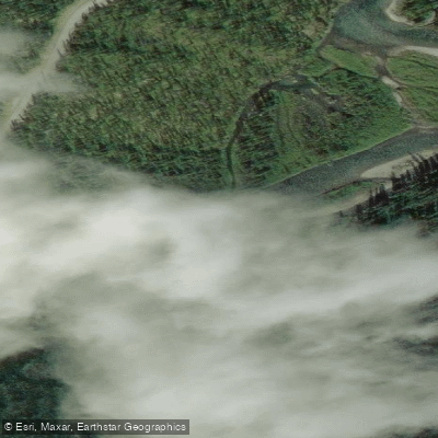
Little Nahanni River
- Boat Ramps
- 0
- Access Points
- 0
- Campsites
- 0
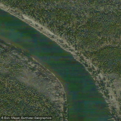
The Little Nahanni River (Łáhtanįlį Deé) is an 85-kilometre whitewater route in the Northwest Territories, flowing through Nááts'ihch'oh National Park before joining the South Nahanni River between the Rock Gardens and Island Lakes. It is considered the most technical of the South Nahanni's tributaries, offering almost continuous Class II–IV rapids throughout its length. The river is generally narrower than the upper South Nahanni but carries similar volume, with steeper drops and three distinct canyon sections that require scouting and will likely demand lining or portaging.
The standard put-in is at Flat Lakes, accessible from Tungsten. An alternative starting point, which avoids the most demanding upper section, is the confluence of the Little Nahanni with March Creek or Steel Creek, both reachable from the Howard's Pass Access Road. The upper portion of the river features steep, creeky Class II–III whitewater that intensifies into Class III+ rapids. Crooked Canyon contains two Class IV features, offers very few eddies for scouting, and is described as very difficult to exit once entered. The Step is rated Class V and will require a portage or lining for virtually all parties. Paddlers should plan 8–12 days for the full route, or 6–7 days from Tungsten to reach Rabbitkettle Lake.
The best time to paddle the Little Nahanni is mid-June to mid-August. The river may become unnavigable after mid-July due to low water levels, so earlier in the season is generally preferable. The route is remote and sees very few groups each year, meaning rescue assistance is not readily available and self-sufficiency is essential.
This is a trip suited exclusively to confident, experienced whitewater paddlers. The combination of high-consequence drops, limited beta, and the technical nature of the canyon sections makes it inappropriate for paddlers uncertain of their abilities in Class IV water. The river flows through remote wilderness with fast, crystal-clear water, looming canyon walls, and opportunities for wildlife sightings. Given the remoteness and the park setting, paddlers should be prepared for expedition-level self-sufficiency throughout the journey.
Water access, boat ramps & amenities
Learn how to get on Little Nahanni River. Uncover great paddling access points, boat ramps, and all the facilities you need for an unforgettable day on the water. Some locations shown may border or include private property. Always check property boundaries and applicable regulations before visiting. PaddleWays's Public & Private Land layer can help you plan your access with confidence.
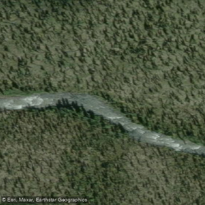
Northwest Territories Rapid
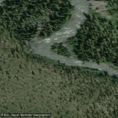
Northwest Territories Rapid
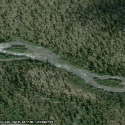
Northwest Territories Rapid
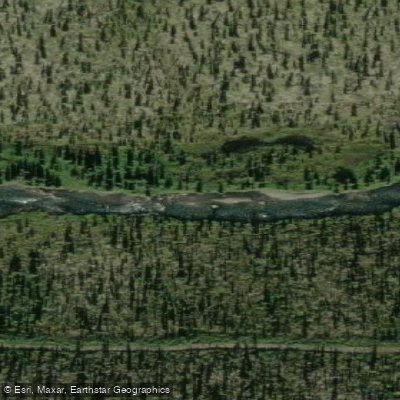
Northwest Territories Rapid
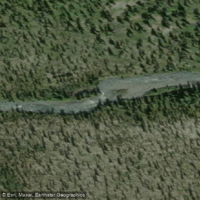
Northwest Territories Rapid
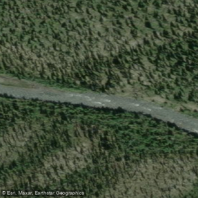
Northwest Territories Rapid
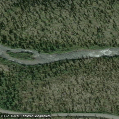
Northwest Territories Rapid
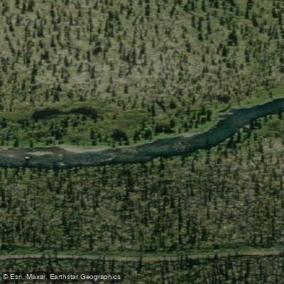
Northwest Territories Rapid
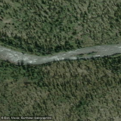
Northwest Territories Rapid
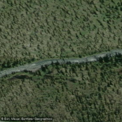
Northwest Territories Rapid
Paddle smarter with real-time insights
Whether you're en route and conditions shift or you're looking for the best spot based on current flows, we enable you to make informed decisions on the fly.







Nt licenses and regulations
No licenses or regulations available for Nt.
Find Places to Paddle

Over 400,000 Places to Paddle
Every user gets free access to launch points, boat ramps, and public property parcels.


Water and weather conditions (10 day forecast)
See the best times to paddle Little Nahanni River and check the forecast before you go.
No forecast data available.
Paddling near Little Nahanni River
Explore Nt waters
Top paddling waters
No waters available right now.
Popular Cities
Loading popular cities...
Explore near Little Nahanni River
Nearby waters
More in Nt

Smarter Paddling Starts in the App.
Paddleways gives you everything you need to plan smarter, paddle better, and own every trip from first launch to takeout.