South Nahanni River
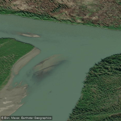
South Nahanni River
- Boat Ramps
- 0
- Access Points
- 0
- Campsites
- 0
The South Nahanni River in Canada's Northwest Territories is a 560-kilometre wilderness river flowing through the Mackenzie Mountains, passing through Nááts'įhch'oh National Park Reserve (covering the upper river to approximately river kilometer 120) and Nahanni National Park Reserve (from roughly RK 120 to RK 520). The river was declared a UNESCO World Heritage Site in 1978. A Parks Canada backcountry permit is required for travel within both reserves, and popular campsites such as those near Virginia Falls must be reserved in advance, with a maximum two-night stay permitted at that location.
The river is navigable from June to September. The headwaters begin at the Moose Ponds, accessible by floatplane, where the river descends through approximately 50 kilometres of nearly continuous Class II to Class IV whitewater known as the Rock Gardens. Expert paddling skill is required for this section, and paddlers starting after August 1 may need to line or portage significant portions due to low water. From the Moose Ponds to Rabbitkettle Lake typically requires 5 to 7 days. The full river from Moose Ponds to the Liard confluence spans roughly 560 kilometres and takes approximately 17 to 21 paddling days by packraft, with canoe expeditions commonly running from Rabbitkettle Lake to Nahanni Butte covering around 350 kilometres.
Virginia Falls, at 96 metres roughly twice the height of Niagara Falls, is the river's most dramatic feature. A mandatory 1.5-kilometre portage on the left bank is required here. Below the falls, the river passes through eight kilometres of nearly continuous rapids and standing waves in Fourth Canyon. The canyon system continues through Third Canyon, which contains a narrow chasm called The Gate, with canyon walls in places exceeding the depth of the Grand Canyon. The river then broadens through Second and First Canyons before reaching the Splits, a wide braided section, and eventually slowing near Nahanni Butte and the Liard confluence.
Notable side attractions include the Rabbitkettle Hot Springs, where warm water has formed a terraced tufa mound over 27 metres high, accessible only with a Parks Canada warden. The Cirque of the Unclimbables is reachable via a hiking trail near Glacier Lake. Parks Canada strongly recommends that all non-guided visitors possess highly developed whitewater and self-rescue skills along with extensive remote wilderness camping experience. The river carries powerful currents, boils, and significant whitewater throughout much of its length.
Water access, boat ramps & amenities
Learn how to get on South Nahanni River. Uncover great paddling access points, boat ramps, and all the facilities you need for an unforgettable day on the water. Some locations shown may border or include private property. Always check property boundaries and applicable regulations before visiting. PaddleWays's Public & Private Land layer can help you plan your access with confidence.
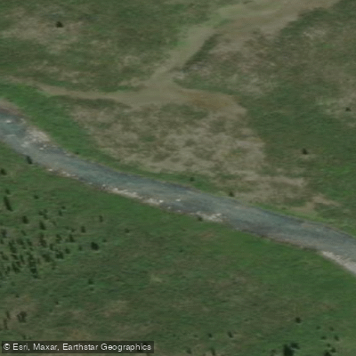
Northwest Territories Rapid
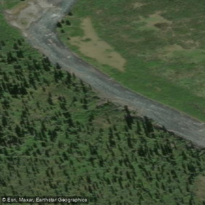
Northwest Territories Rapid
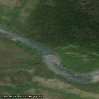
Northwest Territories Rapid
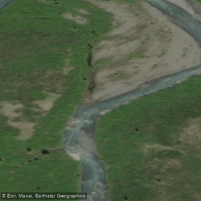
Northwest Territories Rapid
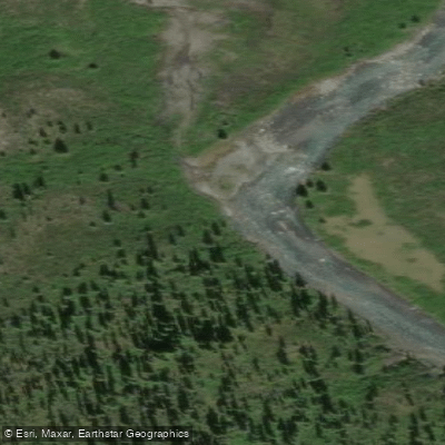
Northwest Territories Rapid
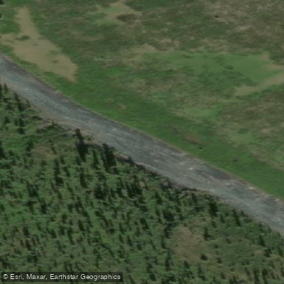
Northwest Territories Rapid
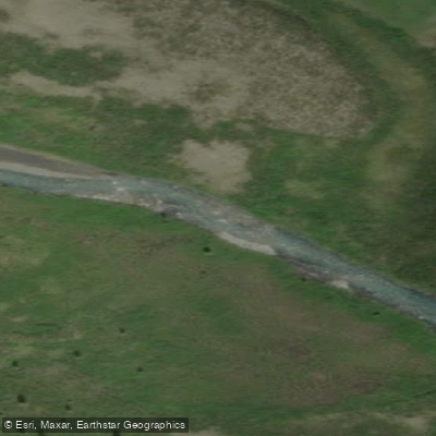
Northwest Territories Rapid
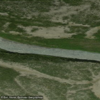
Northwest Territories Rapid
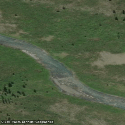
Northwest Territories Rapid
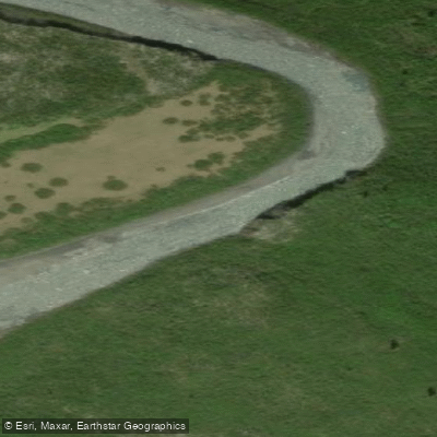
Northwest Territories Rapid
Paddle smarter with real-time insights
Whether you're en route and conditions shift or you're looking for the best spot based on current flows, we enable you to make informed decisions on the fly.







Nt licenses and regulations
No licenses or regulations available for Nt.
Find Places to Paddle

Over 400,000 Places to Paddle
Every user gets free access to launch points, boat ramps, and public property parcels.


Water and weather conditions (10 day forecast)
See the best times to paddle South Nahanni River and check the forecast before you go.
SOUTH NAHANNI RIVER ABOVE VIRGINIA FALLS
All Flow Stations
Paddling near South Nahanni River
Explore Nt waters
Top paddling waters
No waters available right now.
Popular Cities
Loading popular cities...
Explore near South Nahanni River
Nearby waters
More in Nt

Smarter Paddling Starts in the App.
Paddleways gives you everything you need to plan smarter, paddle better, and own every trip from first launch to takeout.