American Harbour
- Saltwater
- Harbor
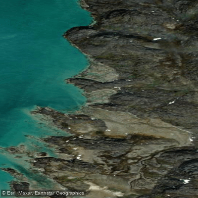
American Harbour
- Saltwater
- Harbor
- Sq. miles
- 0.1
- Boat Ramps
- 0
- Access Points
- 0
- Campsites
- 0
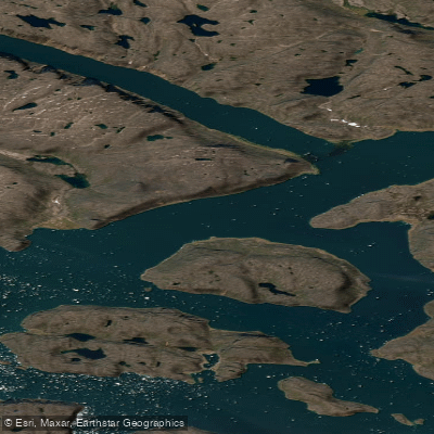
American Harbour is a deep, sheltered marine harbour on the northwest side of a peninsula in Nunavut. It is surrounded by hills, with a mud bottom and a central depth reaching 46 meters. The inner harbour features a south shore characterized by terrace formations of shingle and sand, topped by steep, vertical cliffs. The overall aesthetic is one of a high-Arctic, glacially-carved inlet, with steep rock walls showing ice scratches at the high-water mark. The waterway connects to adjacent channels and narrows, such as the passage between Kikkertelluk island and the mainland, which can become choked with ice and stranded floes. The area is historically significant as a location visited by 19th-century explorers and Inuit, with documented accounts of travel and overwintering.
For paddlers, this is an expeditionary environment suitable only for highly experienced, well-equipped teams prepared for extreme Arctic conditions. Paddling is strictly a seasonal activity, confined to the brief summer period when the harbour and its approaches are free of landfast ice and dense pack ice. Historical accounts consistently describe the harbour and its entrance as being heavily blocked or full of ice, indicating that even in summer, navigating through shifting ice floes and past grounded icebergs is a major and constant hazard. The region is exposed to strong winds, notably from the north, which can create severe wind chill and freezing spray conditions even in summer. Tides are a significant factor, with a notable tidal range; passages through narrows can become impassable or extremely hazardous at low water when ice floes ground and choke the channels. There are no established access points, facilities, or amenities for paddlers; any launch or take-out would involve a rugged, remote shoreline. Wildlife is not detailed, but the presence of ice, steep cliffs, and deep, cold water defines the setting. Water temperatures remain near freezing for much of the year, and summer paddling would still require immersion protection. The overall vibe is one of profound isolation and raw, powerful natural forces, where travel is dictated by ice conditions, tide stages, and weather windows rather than a planned route.
Water access, boat ramps & amenities
Learn how to get on American Harbour. Uncover great paddling access points, boat ramps, and all the facilities you need for an unforgettable day on the water. Some locations shown may border or include private property. Always check property boundaries and applicable regulations before visiting. PaddleWays's Public & Private Land layer can help you plan your access with confidence.
Paddle smarter with real-time insights
Whether you're en route and conditions shift or you're looking for the best spot based on current flows, we enable you to make informed decisions on the fly.








Find Places to Paddle

Over 400,000 Places to Paddle
Every user gets free access to launch points, boat ramps, and public property parcels.


Tides, wind & water conditions (10 day forecast)
On open water, wind and tide matter as much as the weather. See the best times to paddle American Harbour and check the marine forecast before you launch.
Loading tide predictions…
Paddling near American Harbour
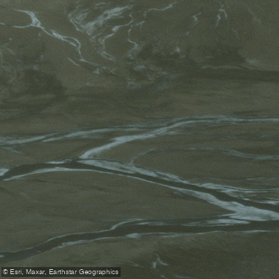
Weasel River
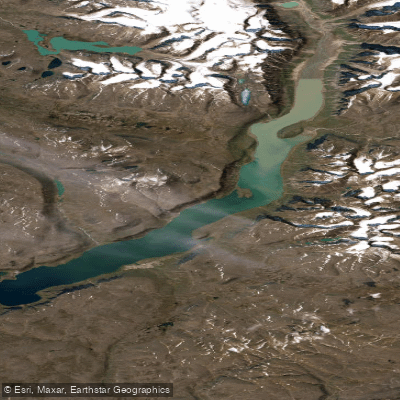
ᐸᓐᓂᖅᑑᑉ ᑲᖏᖅᑐᖓ Pangnirtung Fiord
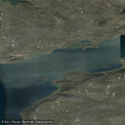
ᐸᓐᓂᖅᑑᑉ ᐹᖓ Panniqtuup Paanga
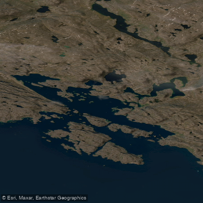
Avataktoo Bay
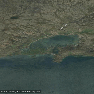
ᐃᕐᖓᓕᐅᑉ ᑕᓯᐅᔭᖓ Irngaliup Tasiujanga
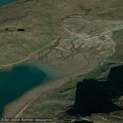
Aulatsivikjuak Bay
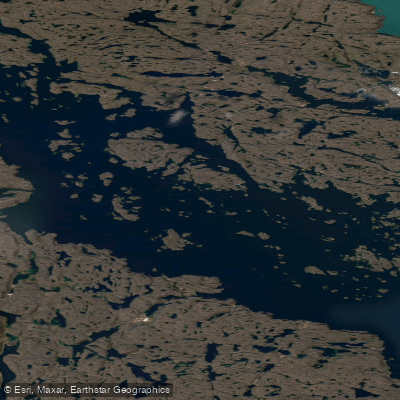
Kangilo Fiord
Shark Fiord
Nettilling Fiord
Explore Nu waters
Top paddling waters
No waters available right now.
Popular Cities
Loading popular cities...
Explore near American Harbour

Smarter Paddling Starts in the App.
Paddleways gives you everything you need to plan smarter, paddle better, and own every trip from first launch to takeout.