Aulatsivikjuak Bay
- Saltwater
- Bay
Aulatsivikjuak Bay
- Saltwater
- Bay
- Sq. miles
- 0.5
- Boat Ramps
- 0
- Access Points
- 0
- Campsites
- 0
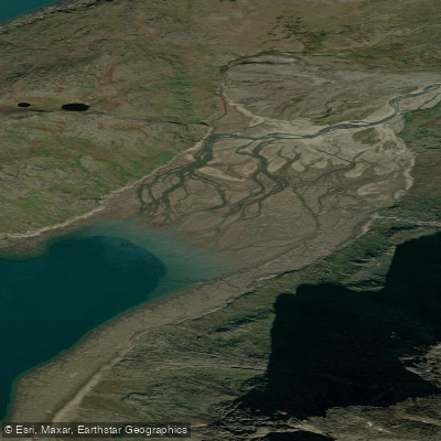
Aulatsivikjuak Bay is a coastal bay on the Cumberland Peninsula of Baffin Island, opening into Pangnirtung Fiord. It is a remote, high-Arctic marine environment characterized by its glacially carved landscape. The bay serves as a descent point from the interior to the fiord, with the surrounding terrain featuring mountains, glaciers, and tundra. The area experiences a significant tidal range, and paddlers must consult detailed, location-specific tide tables for the bay itself, as general Nunavut forecasts are insufficient for safe trip planning. Currents within the bay and at its mouth with Pangnirtung Fiord will be strongly influenced by these tides, requiring careful timing for transits. The fetch within the bay and the broader fiord can be considerable, leading to potentially hazardous wave conditions, especially when winds oppose tidal currents; waves in the area can regularly reach 1.6 meters or more. The water is cold year-round, with sea ice present for much of the year, confining any paddling activity to a brief summer window when the bay is ice-free. There are no roads or developed facilities; access is typically via expedition-style travel from the nearby community of Pangnirtung or by charter aircraft. The environment is pristine and exposed, with no amenities for paddlers. Wildlife sightings may include seabirds and marine mammals. The overall paddling experience is one of expedition-level challenge, suitable only for highly experienced, self-sufficient groups prepared for severe and rapidly changing weather, cold water, and complex coastal navigation.
Water access, boat ramps & amenities
Learn how to get on Aulatsivikjuak Bay. Uncover great paddling access points, boat ramps, and all the facilities you need for an unforgettable day on the water. Some locations shown may border or include private property. Always check property boundaries and applicable regulations before visiting. PaddleWays's Public & Private Land layer can help you plan your access with confidence.
Paddle smarter with real-time insights
Whether you're en route and conditions shift or you're looking for the best spot based on current flows, we enable you to make informed decisions on the fly.








Find Places to Paddle

Over 400,000 Places to Paddle
Every user gets free access to launch points, boat ramps, and public property parcels.


Tides, wind & water conditions (10 day forecast)
On open water, wind and tide matter as much as the weather. See the best times to paddle Aulatsivikjuak Bay and check the marine forecast before you launch.
Loading tide predictions…
Paddling near Aulatsivikjuak Bay
Weasel River
ᐸᓐᓂᖅᑑᑉ ᑲᖏᖅᑐᖓ Pangnirtung Fiord
ᐸᓐᓂᖅᑑᑉ ᐹᖓ Panniqtuup Paanga
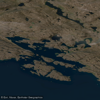
Avataktoo Bay
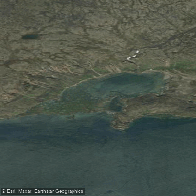
ᐃᕐᖓᓕᐅᑉ ᑕᓯᐅᔭᖓ Irngaliup Tasiujanga
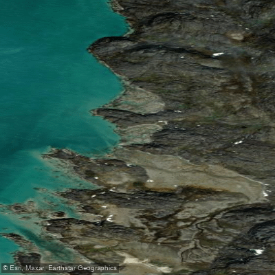
American Harbour
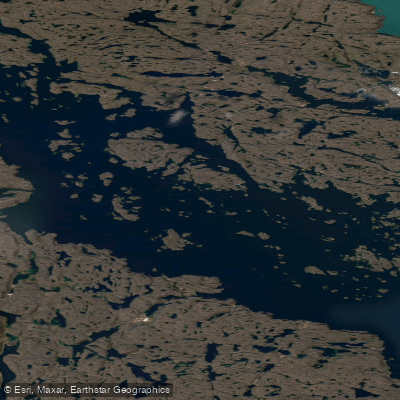
Kangilo Fiord
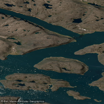
Shark Fiord
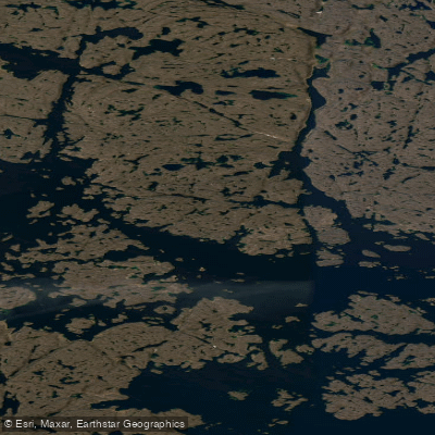
Nettilling Fiord
Explore Nu waters
Top paddling waters
No waters available right now.
Popular Cities
Loading popular cities...
Explore near Aulatsivikjuak Bay

Smarter Paddling Starts in the App.
Paddleways gives you everything you need to plan smarter, paddle better, and own every trip from first launch to takeout.