Weasel River
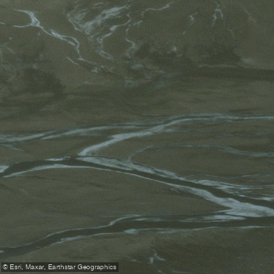
Weasel River
- Boat Ramps
- 0
- Access Points
- 0
- Campsites
- 0
The Weasel River flows through Akshayuk Pass (formerly Pangnirtung Pass) within Auyuittuq National Park on Baffin Island, Nunavut. The river is accessed from Pangnirtung, where paddlers typically travel by motorboat to the end of Pangnirtung Fiord before entering the valley. The upper river, below Summit Lake, contains the most technically demanding whitewater, with rapids reaching Class IV and at least one section just below Summit Lake Shelter that has been described as unnavigable for all but the most skilled paddlers. The overall river has been characterized as Class V on its first descent, with the primary challenge being rock-strewn passages where the difficulty lies less in reading water and more in avoiding being swept into rocks. Water levels can significantly affect the character of individual rapids.
River crossings are a notable hazard throughout the valley. Some crossings run fast and waist-deep, while others involve extended wading through cold, braided channels. Paddlers and hikers alike are advised to have a strategy for changing footwear and clothing, or to use dry pants. The cold water temperatures throughout the season make immersion a serious concern.
The surrounding landscape is dramatic, with sheer cliffs, glacial terrain, and prominent features including Mount Odin, Thor Peak (which rises 1,500 metres from the valley floor), Schwartzenbach Falls, and Crater Lake. Glacial retreat has left significant evidence throughout the area. The valley also carries deep cultural significance as part of a traditional inland route used by Inuit people traveling by qajaq.
Access to the area is highly seasonal. Late April is typically the cutoff for snowmobile transport into the region, making travel in May or June difficult or impossible without hiking from Pangnirtung. July has been used as a starting point for expeditions. A trail runs along the west side of the Weasel River and is generally well-defined, while the east side trail is rougher and in places nonexistent.
Given the remote Arctic location, the technical difficulty of the whitewater, the cold water, and the logistical complexity of access, the Weasel River is suited only to highly experienced paddlers with appropriate wilderness and whitewater skills.
Water access, boat ramps & amenities
Learn how to get on Weasel River. Uncover great paddling access points, boat ramps, and all the facilities you need for an unforgettable day on the water. Some locations shown may border or include private property. Always check property boundaries and applicable regulations before visiting. PaddleWays's Public & Private Land layer can help you plan your access with confidence.
Paddle smarter with real-time insights
Whether you're en route and conditions shift or you're looking for the best spot based on current flows, we enable you to make informed decisions on the fly.








Find Places to Paddle

Over 400,000 Places to Paddle
Every user gets free access to launch points, boat ramps, and public property parcels.


Water and weather conditions (10 day forecast)
See the best times to paddle Weasel River and check the forecast before you go.
No forecast data available.
Paddling near Weasel River
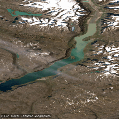
ᐸᓐᓂᖅᑑᑉ ᑲᖏᖅᑐᖓ Pangnirtung Fiord
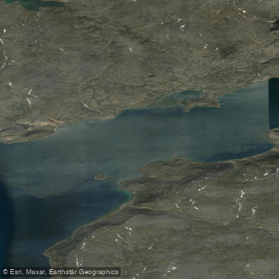
ᐸᓐᓂᖅᑑᑉ ᐹᖓ Panniqtuup Paanga
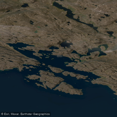
Avataktoo Bay
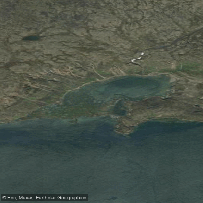
ᐃᕐᖓᓕᐅᑉ ᑕᓯᐅᔭᖓ Irngaliup Tasiujanga
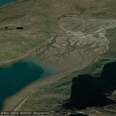
Aulatsivikjuak Bay
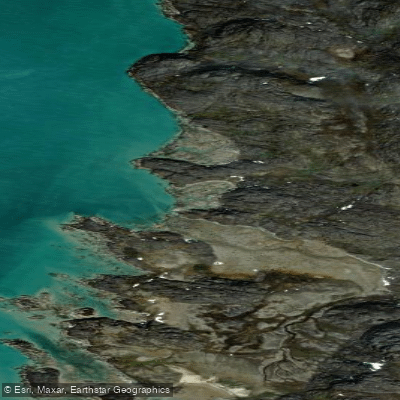
American Harbour
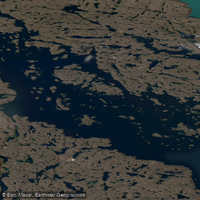
Kangilo Fiord
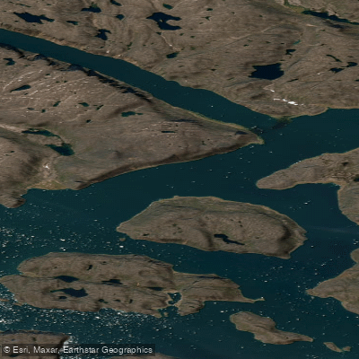
Shark Fiord
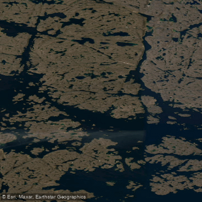
Nettilling Fiord
Explore Nu waters
Top paddling waters
No waters available right now.
Popular Cities
Loading popular cities...
Explore near Weasel River

Smarter Paddling Starts in the App.
Paddleways gives you everything you need to plan smarter, paddle better, and own every trip from first launch to takeout.