Paddling in Parc national d'Anticosti
- National Park
- Lakes
- 17
- Rivers
- 9
- Access
- 0
- Boat Ramps
- 0
- Shops
- 0
Anticosti Island sits in the mouth of the St.
Lawrence, where the river becomes the Gulf, and the park that covers most of it holds two distinct kinds of paddling: the wild saltwater coastline ringing the island, and the salmon rivers cutting through its limestone interior.
The sea kayaking here is serious expedition territory.
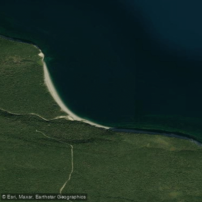
The north shore is the more forgiving route — beaches and sandy cliff-lined bays give paddlers places to land and camp — while the south shore runs to steep rocky cliffs with few pull-outs, and is considered appropriate only for highly experienced paddlers.
Circumnavigations of the island have been done, but most expeditions work a section of coast. One documented route runs roughly 260 km over 26 days; a guided expedition covers about 55 km over 6 days.
The island's remoteness is real: Port Menier, with around 300 residents, is the only settlement, and resupply options are essentially nonexistent once you leave it. Getting to the island means flying in from Montréal, Québec City, or Mont-Joli.
The Rivière Jupiter is the park's anchor river and one of the most storied Atlantic salmon rivers in Québec.
Fishing on the Jupiter is quota-based and subject to conditions tied to weather and water levels — check with Sépaq for current access rules before planning any river time around it.
Permission to travel the island's shores by kayak must be granted by Sépaq Anticosti. Camping along the coast requires a permit. These aren't formalities: the park takes access seriously, and showing up without arrangements made is not a workable plan.
The island's isolation is the defining fact of paddling here. Seal colonies, white-tailed deer on the beaches, fog on the water — the wildness is genuine, not managed.
Plan the logistics carefully, get your permits sorted through Sépaq before you go, and the coast will meet you on its own terms.
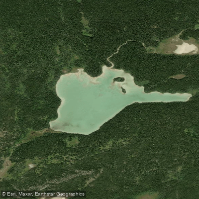
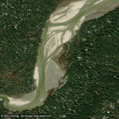
Top waters to paddle near Parc National D Anticosti
Water and weather conditions (10 day forecast)
See the best times to paddle Parc national d'Anticosti and check the forecast before you go.
No forecast data available.
Paddle smarter with real-time insights
Whether you're en route and conditions shift or you're looking for the best spot based on current flows, we enable you to make informed decisions on the fly.







Paddling near Parc national d'Anticosti
Loading...
Gateway towns
Where to base yourself for paddling in Parc national d'Anticosti.
- Port-MenierQC
The only town on Anticosti Island, it's the main entry point with the park's reception desk, lodging, and outfitter services.
Explore Parc national d'Anticosti
Top paddling waters
Popular Cities
Loading popular cities...

Smarter Paddling Starts in the App.
Paddleways gives you everything you need to plan smarter, paddle better, and own every trip from first launch to takeout.