Détroit de Jacques-Cartier
- Saltwater
- Strait
Détroit de Jacques-Cartier
- Saltwater
- Strait
- Sq. miles
- 4,290
- Boat Ramps
- 0
- Access Points
- 0
- Campsites
- 0
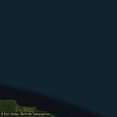
The Détroit de Jacques-Cartier is a significant marine strait in the Gulf of St. Lawrence, separating the North Shore of Quebec's Minganie region from Anticosti Island. This open coastal waterway is characterized by its funnel-like geography, which has a pronounced effect on local conditions. The easterly wind is known to be particularly strong here, channeled between the land masses to produce a significant swell, especially over the Bancs de Mingan. This makes wind exposure and wave action a primary safety consideration for paddlers, requiring careful assessment of weather forecasts and sea state before any trip.
The adjacent Mingan Archipelago is renowned as a sea kayaking paradise, offering a logical and spectacular paddling route. This national park reserve features a shoreline punctuated by impressive limestone monoliths and a protected natural environment. The town of Havre-Saint-Pierre, with its beach and nearby Longue-Pointe-de-Mingan, serves as a major gateway to the archipelago and the strait. Paddlers can expect a raw, expansive maritime environment where the St. Lawrence takes on the appearance of an ocean. The area is rich in marine wildlife; notable sightings in the strait have included the endangered North Atlantic right whale, humpback whales, fin whales, and various seals, including seasonal migrations of harp seals. The view from the Belvédère de la montagne Ronde near Havre-Saint-Pierre offers a panoramic lookout over the strait, which is also a known whale-watching vantage point. Given the exposed nature, cold water temperatures, strong winds, and potential for heavy swell, this area is suitable only for experienced, well-equipped sea kayakers familiar with open coastal navigation and self-rescue in dynamic conditions.
Water access, boat ramps & amenities
Learn how to get on Détroit de Jacques-Cartier. Uncover great paddling access points, boat ramps, and all the facilities you need for an unforgettable day on the water. Some locations shown may border or include private property. Always check property boundaries and applicable regulations before visiting. PaddleWays's Public & Private Land layer can help you plan your access with confidence.
Paddle smarter with real-time insights
Whether you're en route and conditions shift or you're looking for the best spot based on current flows, we enable you to make informed decisions on the fly.







Qc licenses and regulations
No licenses or regulations available for Qc.
Find Places to Paddle

Over 400,000 Places to Paddle
Every user gets free access to launch points, boat ramps, and public property parcels.


Tides, wind & water conditions (10 day forecast)
On open water, wind and tide matter as much as the weather. See the best times to paddle Détroit de Jacques-Cartier and check the marine forecast before you launch.
Loading tide predictions…
Paddling near Détroit de Jacques-Cartier
Southwest River
Kouchibouguac River
Cascumpec Bay
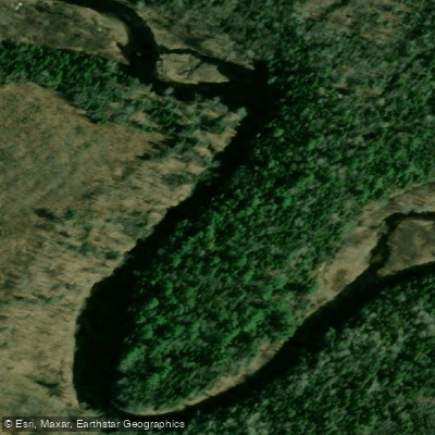
Kouchibouguacis River
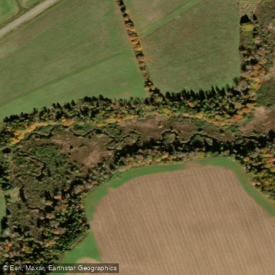
Trout River
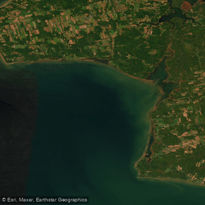
Egmont Bay
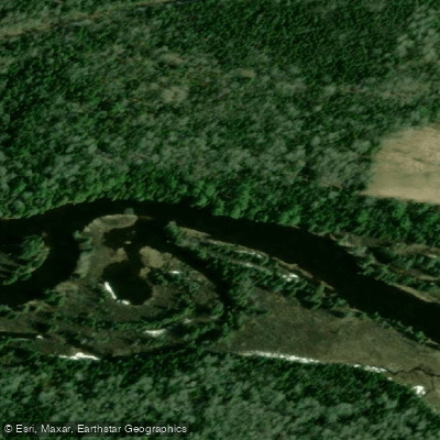
Richibucto River
Scoudouc River
Malpeque Bay
Cocagne River
Explore Qc waters
Top paddling waters
No waters available right now.
Popular Cities
Loading popular cities...
Explore near Détroit de Jacques-Cartier

Smarter Paddling Starts in the App.
Paddleways gives you everything you need to plan smarter, paddle better, and own every trip from first launch to takeout.