Anse du Sentier Vert
- Saltwater
- Bay
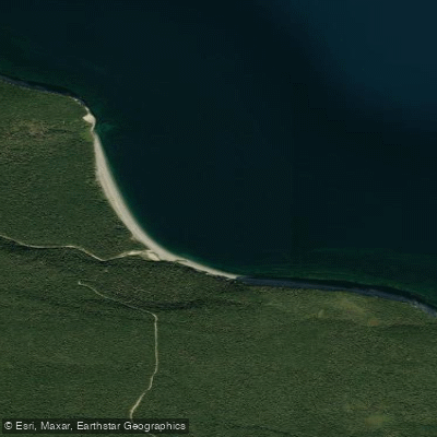
Anse du Sentier Vert
- Saltwater
- Bay
- Sq. miles
- 0.3
- Boat Ramps
- 0
- Access Points
- 0
- Campsites
- 0
Anse du Sentier Vert is a coastal bay located within Anticosti National Park on Anticosti Island in the Minganie region of Quebec. The bay is situated along the island's northern coastline, where dramatic cliffs exceeding 100 meters in height characterize the shoreline between Cap de l’Ours and this specific bay. At the mouths of rivers flowing into the bay, these high cliffs give way to beaches, sand bars, and spits, which likely provide the primary access points for paddlers to launch and land their craft. The overall coastal geography features rocky platforms and a rugged, undeveloped shoreline. The climate is a subpolar, subhumid maritime type, heavily influenced by the Gulf of St. Lawrence. This results in cool conditions, frequent fog, and predominant winds from the west, northwest, and southwest occurring over half the year. These consistent wind patterns from specific quadrants are a critical consideration for paddlers, as they can generate significant fetch and choppy conditions on the open water of the bay. The water body is part of a larger park landscape that includes extensive peat bogs, coniferous forests, and numerous rivers and streams. The area is noted for its limited human intrusion and undisturbed ecosystems, contributing to a remote and wild paddling environment. No specific regulations, facilities, or recommended routes for paddlers are detailed.
Water access, boat ramps & amenities
Learn how to get on Anse du Sentier Vert. Uncover great paddling access points, boat ramps, and all the facilities you need for an unforgettable day on the water. Some locations shown may border or include private property. Always check property boundaries and applicable regulations before visiting. PaddleWays's Public & Private Land layer can help you plan your access with confidence.
Paddle smarter with real-time insights
Whether you're en route and conditions shift or you're looking for the best spot based on current flows, we enable you to make informed decisions on the fly.







Qc licenses and regulations
No licenses or regulations available for Qc.
Find Places to Paddle

Over 400,000 Places to Paddle
Every user gets free access to launch points, boat ramps, and public property parcels.


Tides, wind & water conditions (10 day forecast)
On open water, wind and tide matter as much as the weather. See the best times to paddle Anse du Sentier Vert and check the marine forecast before you launch.
Loading tide predictions…
Paddling near Anse du Sentier Vert
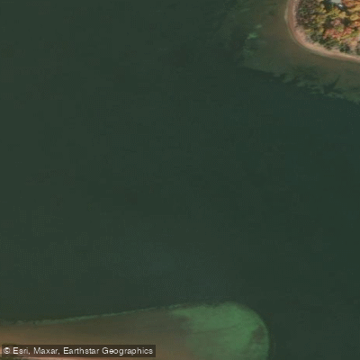
Southwest River
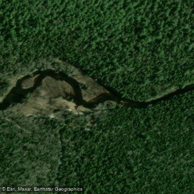
Kouchibouguac River
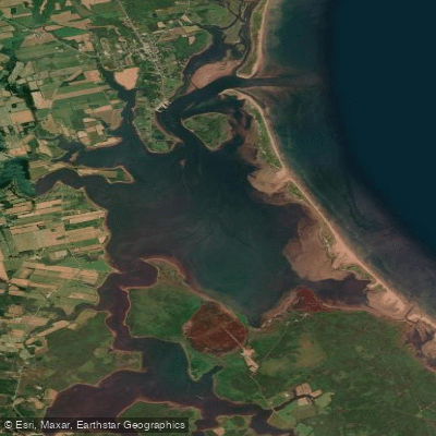
Cascumpec Bay
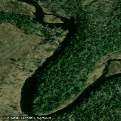
Kouchibouguacis River
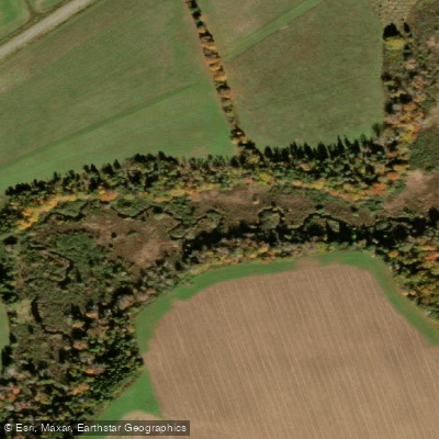
Trout River
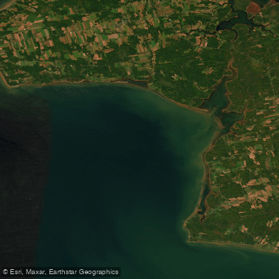
Egmont Bay
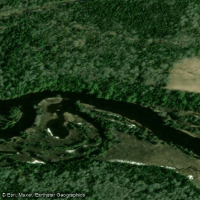
Richibucto River
Scoudouc River
Malpeque Bay
Cocagne River
Explore Qc waters
Top paddling waters
No waters available right now.
Popular Cities
Loading popular cities...
Explore near Anse du Sentier Vert

Smarter Paddling Starts in the App.
Paddleways gives you everything you need to plan smarter, paddle better, and own every trip from first launch to takeout.