Paddling in Parc national de Forillon
- National Park
- Lakes
- 6
- Rivers
- 25
- Access
- 0
- Boat Ramps
- 0
- Shops
- 0
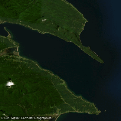
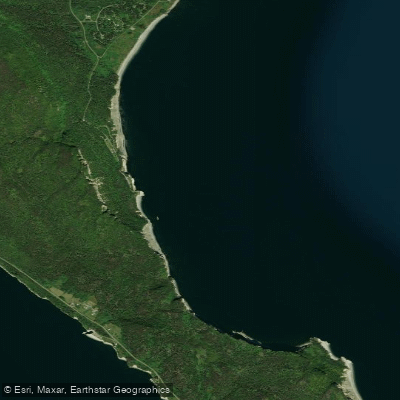
Forillon sits at the very tip of the Gaspé Peninsula, where the mountains of the Chic-Chocs run out into the sea and the Gulf of Saint Lawrence meets Baie de Gaspé.
The water here is marine — cold, tidal, exposed — and the paddling is sea kayaking along a coastline of cliffs, rocky islets, and gravel beaches. This is a saltwater park.
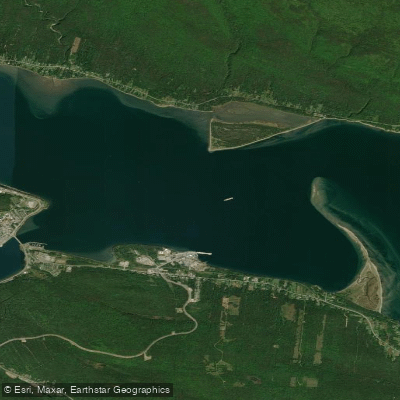
The two main launch points are Grande-Grave, at the historic site in the South Area, and Cap-aux-Os Beach. Both give access to the open bay and the rocky haul-out areas where grey and harbour seals congregate.
Paddlers who have been out here describe the seals as genuinely curious — circling under hulls, surfacing close, occasionally hauling out on rocks within easy viewing distance.
Whales move through these waters as well, and the scale of the place becomes apparent quickly: the cliffs are tall, the swells are real, and the Gulf is not forgiving of poor judgment about conditions.
Cap Aventure operates guided sea kayak excursions out of Grande-Grave and Cap-aux-Os, running from late April into mid-October.
Their guides hold Paddle Canada or Canoe-Kayak Québec accreditation and are certified by the Marine Mammal Observer Network for seal-watching practices — relevant here because the park's regulations prohibit disturbing or attracting wildlife.
Guided 3-hour trips are accessible to beginners; excursions for intermediate and advanced paddlers are also available. Kayak rentals and stand-up paddleboards are available at Grande-Grave as well. The park's rules carry weight on the water.
Disturbing, attracting, or feeding animals is prohibited — that applies directly to how close you approach the seal haul-outs.
Camping requires a permit and must be at designated sites; anyone planning an overnight paddle-and-camp trip should confirm logistics with the park before launching.
No fishing permit is required within the park, but anglers must follow park rules — check with Parks Canada for current requirements before rigging a rod.
The season window that matters most is the gap between when conditions are manageable and when Cap Aventure closes. Independent paddlers willing to read the weather carefully can extend that window, but the Gulf of Saint Lawrence earns its reputation.
Go when the sea is calm, stay close to shore until you know the place, and give the seals the distance the park asks for.
Water and weather conditions (10 day forecast)
See the best times to paddle Parc national de Forillon and check the forecast before you go.
No forecast data available.
Paddle smarter with real-time insights
Whether you're en route and conditions shift or you're looking for the best spot based on current flows, we enable you to make informed decisions on the fly.







Paddling near Parc national de Forillon
Loading...
Gateway towns
Where to base yourself for paddling in Parc national de Forillon.
- GaspéQC
Nearest city to the park, with hotels, restaurants, and services for visitors heading to both park entrances.
- L'Anse-au-GriffonQC
Small village on the park's northwest edge with lodging options right at the park boundary.
- Cap-des-RosiersQC
Sits at the north area entrance near the Des-Rosiers campground and the iconic lighthouse.
Explore Parc national de Forillon
Top paddling waters
Popular Cities
Loading popular cities...

Smarter Paddling Starts in the App.
Paddleways gives you everything you need to plan smarter, paddle better, and own every trip from first launch to takeout.