Anse du Cap des Rosiers
- Saltwater
- Bay
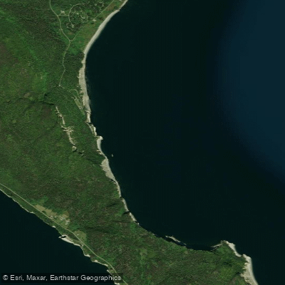
Anse du Cap des Rosiers
- Saltwater
- Bay
- Sq. miles
- 1.3
- Boat Ramps
- 0
- Access Points
- 0
- Campsites
- 0
Anse du Cap des Rosiers is a coastal bay located within Parc National Forillon on the Gaspé Peninsula, lying north of Cap Bon Ami. The bay's character is defined by its position within a dramatic landscape of steep cliffs, boreal forests, and a mix of sand and pebble beaches. A significant navigational hazard for paddlers is the presence of reefs extending approximately 0.2 miles south from the village of Cap-des-Rosiers-Est. The area is exposed to the Gulf of St. Lawrence, suggesting potential for significant wind and wave action, particularly given the open fetch. The primary access point for paddlers is likely the beach at Cap-Bon-Ami, which is situated at the very end of the bay and offers a direct launch point. This beach also serves as a vantage point for observing wildlife, including seabirds nesting on the cliff faces and seals in the water. The broader area is recognized as a waterfowl concentration area. There are no specific paddling restrictions mentioned, but as the bay is within a national park, general park regulations apply. The terrain is rugged, with very steep trails leading to viewpoints above the cliffs for those seeking a land-based perspective. The water body's aesthetic is one of raw, grand coastal scenery where cliffs plunge directly into the sea.
Water access, boat ramps & amenities
Learn how to get on Anse du Cap des Rosiers. Uncover great paddling access points, boat ramps, and all the facilities you need for an unforgettable day on the water. Some locations shown may border or include private property. Always check property boundaries and applicable regulations before visiting. PaddleWays's Public & Private Land layer can help you plan your access with confidence.
Paddle smarter with real-time insights
Whether you're en route and conditions shift or you're looking for the best spot based on current flows, we enable you to make informed decisions on the fly.







Qc licenses and regulations
No licenses or regulations available for Qc.
Find Places to Paddle

Over 400,000 Places to Paddle
Every user gets free access to launch points, boat ramps, and public property parcels.


Tides, wind & water conditions (10 day forecast)
On open water, wind and tide matter as much as the weather. See the best times to paddle Anse du Cap des Rosiers and check the marine forecast before you launch.
Loading tide predictions…
Paddling near Anse du Cap des Rosiers
Miramichi River
Kouchibouguac River
Miramichi River Estuary
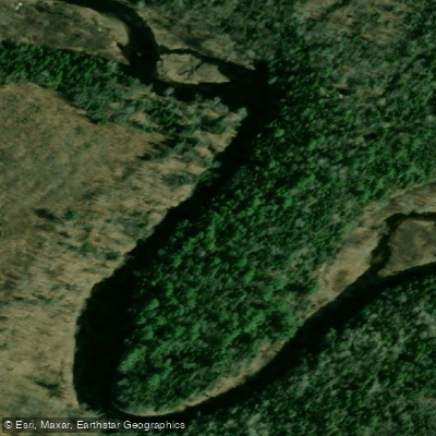
Kouchibouguacis River
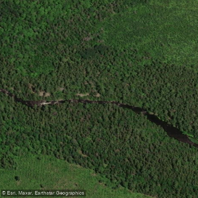
Northwest Miramichi River
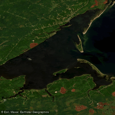
Miramichi Inner Bay / Baie intérieure de Miramichi,
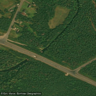
Black River
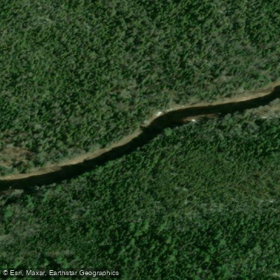
Bay du Vin River
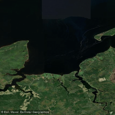
Bay du Vin
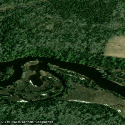
Richibucto River
Explore Qc waters
Top paddling waters
No waters available right now.
Popular Cities
Loading popular cities...
Explore near Anse du Cap des Rosiers

Smarter Paddling Starts in the App.
Paddleways gives you everything you need to plan smarter, paddle better, and own every trip from first launch to takeout.