Baie de Penouille
- Saltwater
- Bay
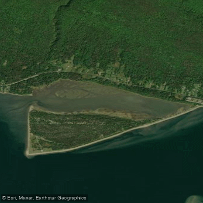
Baie de Penouille
- Saltwater
- Bay
- Sq. miles
- 0.3
- Boat Ramps
- 0
- Access Points
- 0
- Campsites
- 0
Baie de Penouille is a coastal bay forming part of the Gulf of St. Lawrence within Parc National de Forillon on the Gaspé Peninsula. It is a saltwater feature characterized by a marshland ecosystem and a long, sandy beach known as Plage de Penouille. This beach serves as the primary access point for paddlers, offering a natural launch and take-out area directly onto the bay. The bay is sheltered from the open ocean by the Presqu'île de Penouille, a narrow peninsula. A notable geographical feature is the Taïga trail, a wooden boardwalk and path that follows the cordon littoral, or coastal barrier, separating the bay from the Atlantic Ocean, passing over a marshy area. This creates a distinct paddling environment where calm, protected bay waters contrast with the nearby open coast.
The overall character is one of a protected, scenic coastal area rich in wildlife. The bay and surrounding marsh are part of a protected area recognized for its biodiversity, where paddlers may observe seals and a variety of seabirds. The water body is adjacent to significant historical sites, including the Fort-Péninsule area and an Amerindian site at its northeastern limit. For trip planning, paddlers should be aware of the bay's proximity to the public port and shipping lanes of the Havre de Gaspé, as defined by official regulations, indicating the potential for commercial boat traffic in the broader area. The best seasons for paddling are typically summer and early fall, coinciding with warmer weather and calmer coastal conditions. Facilities are limited to the parking area at Plage de Penouille.
Water access, boat ramps & amenities
Learn how to get on Baie de Penouille. Uncover great paddling access points, boat ramps, and all the facilities you need for an unforgettable day on the water. Some locations shown may border or include private property. Always check property boundaries and applicable regulations before visiting. PaddleWays's Public & Private Land layer can help you plan your access with confidence.
Paddle smarter with real-time insights
Whether you're en route and conditions shift or you're looking for the best spot based on current flows, we enable you to make informed decisions on the fly.







Qc licenses and regulations
No licenses or regulations available for Qc.
Find Places to Paddle

Over 400,000 Places to Paddle
Every user gets free access to launch points, boat ramps, and public property parcels.


Tides, wind & water conditions (10 day forecast)
On open water, wind and tide matter as much as the weather. See the best times to paddle Baie de Penouille and check the marine forecast before you launch.
Loading tide predictions…
Paddling near Baie de Penouille
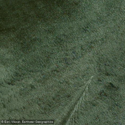
Miramichi River
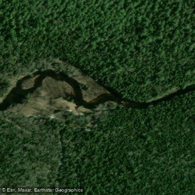
Kouchibouguac River
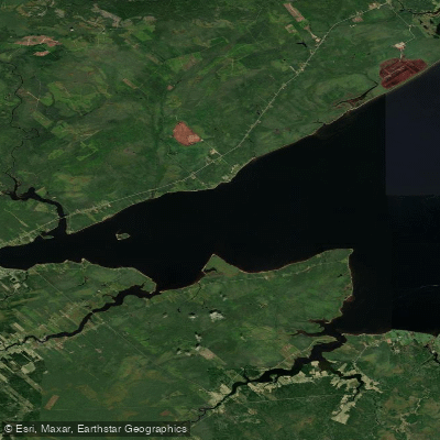
Miramichi River Estuary
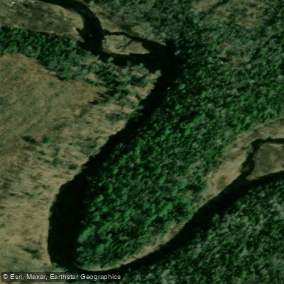
Kouchibouguacis River
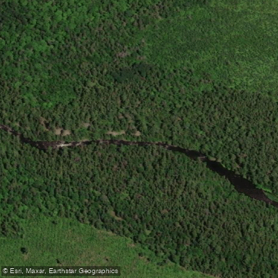
Northwest Miramichi River
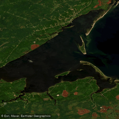
Miramichi Inner Bay / Baie intérieure de Miramichi,
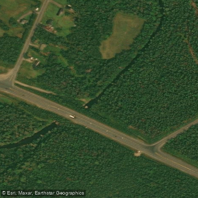
Black River
Bay du Vin River
Bay du Vin
Richibucto River
Explore Qc waters
Top paddling waters
No waters available right now.
Popular Cities
Loading popular cities...

Smarter Paddling Starts in the App.
Paddleways gives you everything you need to plan smarter, paddle better, and own every trip from first launch to takeout.