Paddling in Ukkusiksalik National Park
- National Park
- Lakes
- 13
- Rivers
- 6
- Access
- 0
- Boat Ramps
- 0
- Shops
- 0
Ukkusiksalik sits just south of the Arctic Circle in Nunavut, wrapping around Wager Bay — a 100-kilometre saltwater inlet on the western shore of Hudson Bay.
The park's water is predominantly marine and tidal, with freshwater rivers draining off the surrounding tundra and Canadian Shield. That combination shapes everything about paddling here. Wager Bay itself is the dominant feature, and it demands respect.
Tides reach 8 metres, and at the western end of the bay, the tidal exchange with inner Ford Lake produces a reversing waterfall — one of only three documented in Canada. The bidirectional flows this creates are not a curiosity to paddle through casually.
This is not a bay for kayakers to take lightly. The Sila River drains into the bay, and the Piksimanik River is within the park's boundaries as well. Boat access to the park operates only in July and August.
The remoteness is genuine — there are no roads, no services inside the park, and the nearest communities are Naujaat, Baker Lake, and Chesterfield Inlet.
Most visitors arrive by chartered aircraft or arrange water transport through a licensed outfitter, which Parks Canada requires you to use given the extremely high density of polar bears around Wager Bay. The park rules carry weight on the water.
Anyone entering park boundaries, including all marine areas, requires authorization from Parks Canada — typically through a visitor use permit. All trips must be registered before entering and de-registered on exit.
Sport and recreational fishing is prohibited in park waters. Parks Canada will brief you on current water levels, weather, area closures, polar bear sightings, and route conditions during registration.
If your route crosses Inuit-owned land, separate permission from the Kivalliq Inuit Association is required. This is expedition-scale paddling in a landscape that has been traveled by Inuit for thousands of years.
The tides, the bears, the weather, and the distance from help are not abstractions here — they are the conditions.
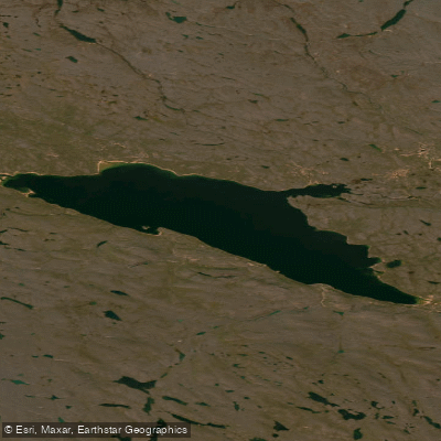
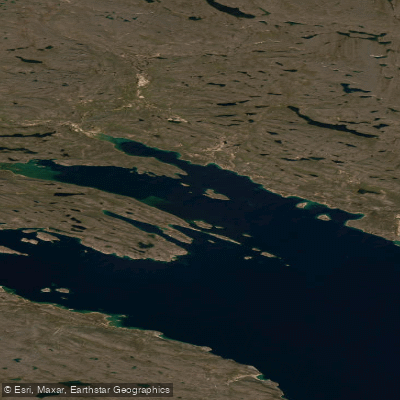
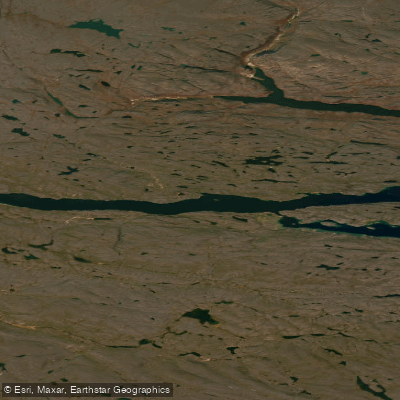
Top waters to paddle near Ukkusiksalik National Park
Water and weather conditions (10 day forecast)
See the best times to paddle Ukkusiksalik National Park and check the forecast before you go.
No forecast data available.
Paddle smarter with real-time insights
Whether you're en route and conditions shift or you're looking for the best spot based on current flows, we enable you to make informed decisions on the fly.







Paddling near Ukkusiksalik National Park
Loading...
Gateway towns
Where to base yourself for paddling in Ukkusiksalik National Park.
- NaujaatNunavut
Primary gateway with the park office; licensed outfitters run boat and snowmobile trips into the park from here.
- Rankin InletNunavut
Regional hub with commercial flights and outfitters that arrange access and guided trips to the park.
- Baker LakeNunavut
Gateway community to the west with outfitters and flight connections used by visitors heading to the park.
- Chesterfield InletNunavut
Nearest community to the park, used as a staging point by some visitors accessing Ukkusiksalik.
Explore Ukkusiksalik National Park
Top paddling waters
Popular Cities
Loading popular cities...

Smarter Paddling Starts in the App.
Paddleways gives you everything you need to plan smarter, paddle better, and own every trip from first launch to takeout.