ᓴᑦᓕᐅᑉ ᑎᒫ Roes Welcome Sound
- Saltwater
- Sound
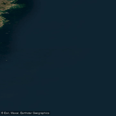
ᓴᑦᓕᐅᑉ ᑎᒫ Roes Welcome Sound
- Saltwater
- Sound
- Sq. miles
- 3,977
- Boat Ramps
- 0
- Access Points
- 0
- Campsites
- 0
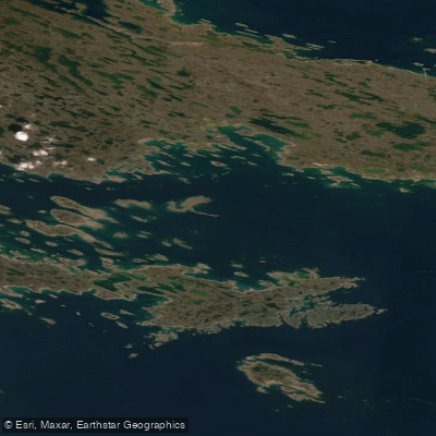
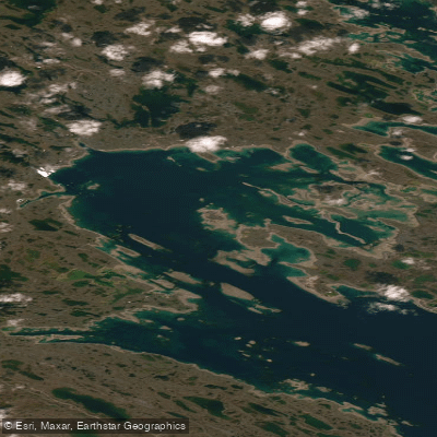
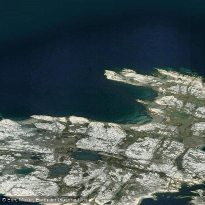
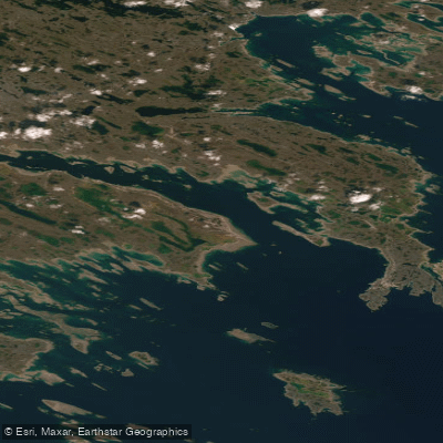
Roes Welcome Sound is a long, narrow saltwater channel located in the Kivalliq Region of Nunavut, Canada, at the northwest end of Hudson Bay. It separates the mainland from Southampton Island, stretching approximately 290 kilometers (180 miles) in length. Its width varies considerably from about 24 kilometers (15 miles) at its narrowest to 113 kilometers (70 miles) at its widest, creating a range of open-water conditions. The sound opens south into Hudson Bay, while its northern end connects to Repulse Bay, which links east to Foxe Basin via Frozen Strait. A significant western branch is Wager Bay. The entire region is uninhabited, with the nearest settlement being Naujaat (Repulse Bay) to the north, which has a tundra climate characterized by short, cool summers and long, cold winters. For paddlers, this translates to a very remote and exposed Arctic marine environment. The sound is a known migratory path for bowhead whales, which may be encountered during seasonal movements. The area's history is tied to early Arctic exploration, having been charted by Thomas Button in 1613 and later named for Sir Thomas Roe. Given its high-latitude location, vast open-water fetch, and uninhabited shores, paddling here is an expedition-level undertaking suitable only for experienced sea kayakers prepared for cold water, significant wind exposure, and complex tidal currents influenced by the connections to Hudson Bay and Foxe Basin. There are no facilities, amenities, or established access points, underscoring the need for complete self-sufficiency.
Water access, boat ramps & amenities
Learn how to get on ᓴᑦᓕᐅᑉ ᑎᒫ Roes Welcome Sound. Uncover great paddling access points, boat ramps, and all the facilities you need for an unforgettable day on the water. Some locations shown may border or include private property. Always check property boundaries and applicable regulations before visiting. PaddleWays's Public & Private Land layer can help you plan your access with confidence.
Paddle smarter with real-time insights
Whether you're en route and conditions shift or you're looking for the best spot based on current flows, we enable you to make informed decisions on the fly.








Find Places to Paddle

Over 400,000 Places to Paddle
Every user gets free access to launch points, boat ramps, and public property parcels.


Tides, wind & water conditions (10 day forecast)
On open water, wind and tide matter as much as the weather. See the best times to paddle ᓴᑦᓕᐅᑉ ᑎᒫ Roes Welcome Sound and check the marine forecast before you launch.
Loading tide predictions…
Paddling near ᓴᑦᓕᐅᑉ ᑎᒫ Roes Welcome Sound
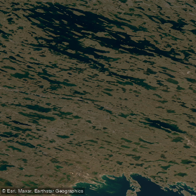
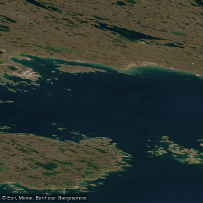
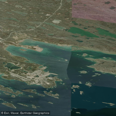
Explore Nu waters
Top paddling waters
No waters available right now.
Popular Cities
Loading popular cities...
Explore near ᓴᑦᓕᐅᑉ ᑎᒫ Roes Welcome Sound

Smarter Paddling Starts in the App.
Paddleways gives you everything you need to plan smarter, paddle better, and own every trip from first launch to takeout.