Douglas Harbour
- Saltwater
- Harbor
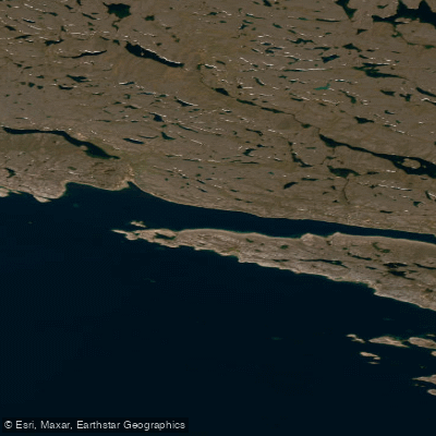
Douglas Harbour
- Saltwater
- Harbor
- Sq. miles
- 24
- Boat Ramps
- 0
- Access Points
- 0
- Campsites
- 0
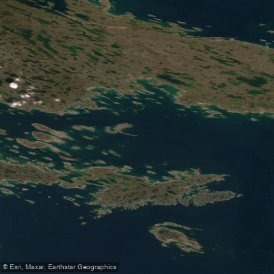
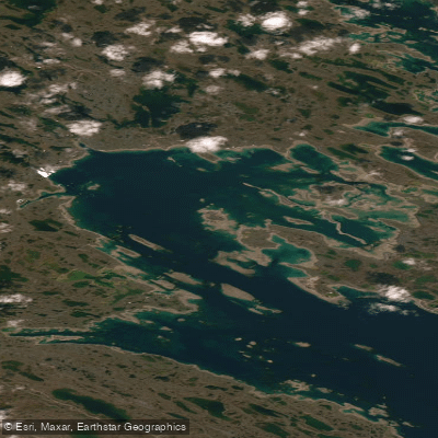
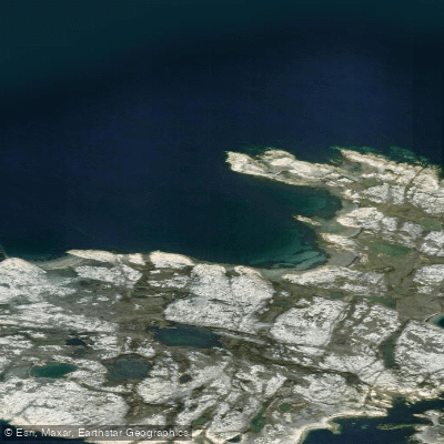
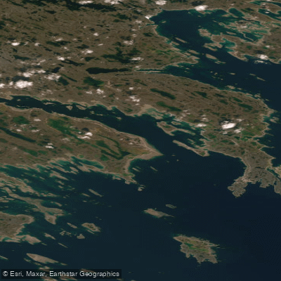
Douglas Harbour is located on the southwest side of King George Sound on Baffin Island's coast in Nunavut, Arctic Canada. It is a coastal saltwater harbour. The harbour offers good, well-sheltered anchorage, which suggests it is protected from significant wave action and wind fetch, making it a relatively secure paddling environment within its confines. There is no permanent settlement at Douglas Harbour itself. The broader area is part of the Inuit Nunangat, and paddlers may explore nearby Inuit communities, which are of cultural significance. The region's wildlife includes marine mammals such as beluga whales, which can be spotted in the Arctic waters. The Piksimanik River flows into Douglas Harbour, indicating a potential freshwater source and a possible route for exploration, though it is noted for Arctic Char runs. Paddling here is a remote, expedition-style experience focused on the stark Arctic landscape and wildlife viewing. The historical presence of Inuit groups in the area, as documented in archival photographs, underscores its long-standing cultural importance. Due to its high Arctic location, the paddling season is extremely short, typically limited to the brief summer months when ice conditions permit. Water temperatures remain frigid year-round, necessitating appropriate immersion gear and safety precautions for cold shock. The harbour's sheltered nature within King George Sound may reduce exposure to the full force of Hudson Strait conditions, but paddlers must be prepared for sudden weather changes, cold water, and a complete lack of services or facilities.
Water access, boat ramps & amenities
Learn how to get on Douglas Harbour. Uncover great paddling access points, boat ramps, and all the facilities you need for an unforgettable day on the water. Some locations shown may border or include private property. Always check property boundaries and applicable regulations before visiting. PaddleWays's Public & Private Land layer can help you plan your access with confidence.
Paddle smarter with real-time insights
Whether you're en route and conditions shift or you're looking for the best spot based on current flows, we enable you to make informed decisions on the fly.








Find Places to Paddle

Over 400,000 Places to Paddle
Every user gets free access to launch points, boat ramps, and public property parcels.


Tides, wind & water conditions (10 day forecast)
On open water, wind and tide matter as much as the weather. See the best times to paddle Douglas Harbour and check the marine forecast before you launch.
Loading tide predictions…
Paddling near Douglas Harbour
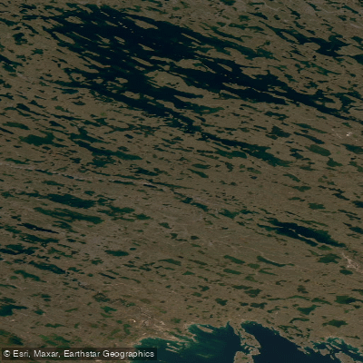
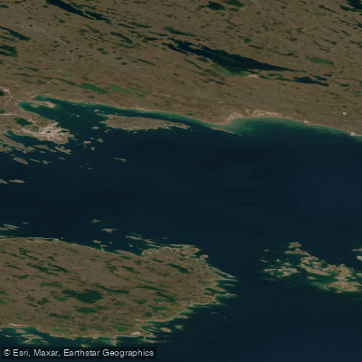
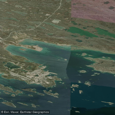
Explore Nu waters
Top paddling waters
No waters available right now.
Popular Cities
Loading popular cities...
Explore near Douglas Harbour

Smarter Paddling Starts in the App.
Paddleways gives you everything you need to plan smarter, paddle better, and own every trip from first launch to takeout.