Paddling in Wapusk National Park
- National Park
- Lakes
- 54
- Rivers
- 26
- Access
- 0
- Boat Ramps
- 0
- Shops
- 0
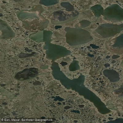
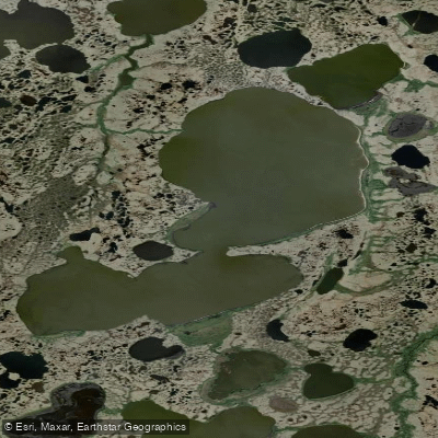
Wapusk sits on the Hudson Bay coast of northeast Manitoba, where boreal forest gives way to arctic tundra across a vast lowland of muskeg, peat bog, and wetlands.
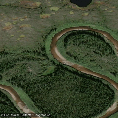
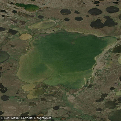
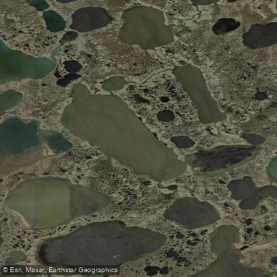
It is one of the most remote national parks in Canada — fewer than 100 people enter in a typical year — and the water here is not a backdrop but the terrain itself: rivers threading through sedge meadows, ponds, and bog that make overland travel nearly impossible in summer.
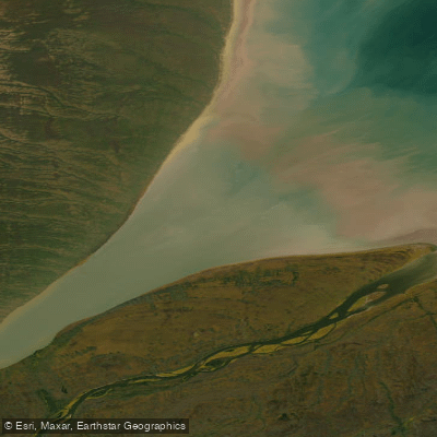
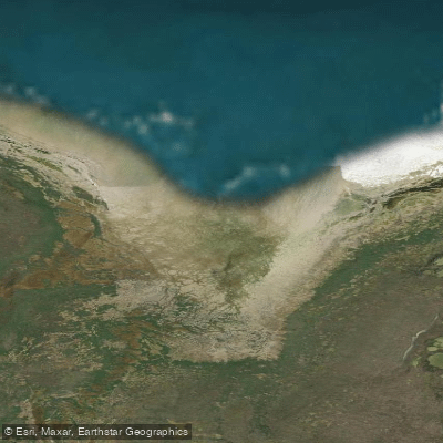
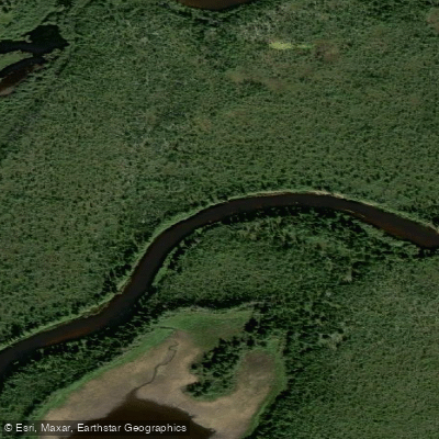
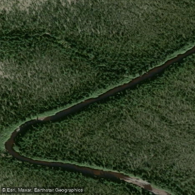
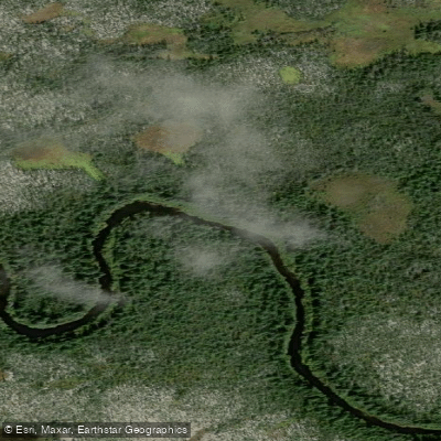
The Owl River is the park's defining paddle route. An expedition team in June 2011 entered at Herchmer, where the railway crosses, and followed the river roughly 100 kilometres to the Hudson Bay coast — farther on the water, given the river's bends.
The route holds 64 sets of rapids, making it a serious multi-day wilderness undertaking, not a casual float. The Broad River is noted as another area within the park, with a campsite primarily oriented toward wildlife viewing.
Access is the first thing to sort out. Parks Canada requires a licensed tour operator for all activities in the park — independent entry is not how this place works.
Regulations extend to waste management and require a bear monitor, armed, accompanying any group at all times. These are not suggestions; they are conditions of entry.
The park's own use regulations, registered under the Canada National Parks Act, govern what is permitted on the water and on the land. June appears to be the practical window for river travel, when water is moving and the route is open.
The landscape is genuinely trackless, and the Owl River's rapids demand real paddling competence — this is not a trip where you figure it out as you go.
Wapusk rewards the kind of paddler who measures a trip not by amenities but by what isn't there: no roads, no trails, no litter on the tundra for two weeks running. That absence is the point.
Top waters to paddle near Wapusk National Park
Water and weather conditions (10 day forecast)
See the best times to paddle Wapusk National Park and check the forecast before you go.
No forecast data available.
Paddle smarter with real-time insights
Whether you're en route and conditions shift or you're looking for the best spot based on current flows, we enable you to make informed decisions on the fly.







Paddling near Wapusk National Park
Loading...
Gateway towns
Where to base yourself for paddling in Wapusk National Park.
- ChurchillMB
The official gateway town with the Parks Canada visitor centre, licensed tour operators, lodging, and air and rail access to the park.
- GillamMB
Secondary access point for the park's southern portion, reachable by road and rail with scheduled air service from Winnipeg and Thompson.
Explore Wapusk National Park
Top paddling waters
Popular Cities
Loading popular cities...

Smarter Paddling Starts in the App.
Paddleways gives you everything you need to plan smarter, paddle better, and own every trip from first launch to takeout.