Hillsborough Bay
- Saltwater
- Bay
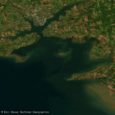
Hillsborough Bay
- Saltwater
- Bay
- Sq. miles
- 84
- Boat Ramps
- 0
- Access Points
- 0
- Campsites
- 0
Hillsborough Bay is a broad, open bay on the southern coast of Prince Edward Island, forming the outer approach to Charlottetown Harbour. Its entrance is marked by the historic Point Prim lighthouse, a brick structure built in 1846. The bay's waters are noted for fine sailing and are a significant boating area, with the Hillsborough Boating Club active in the region. For paddlers, the bay presents a dynamic coastal environment. Tidal currents are a primary consideration; one account describes the sensation of an ebbing tide sucking a kayak towards the Northumberland Strait, indicating strong outflow on a falling tide. The bay can be crossed by kayak, with Point Prim mentioned as a departure point, though paddlers should be aware of its shallow, extended reef. Access points for launching are informal but include beaches like Bellevue Cove, noted as a popular kayak launch for a specific paddle route, and the red sand beach at the end of Keppoch Road, which offers calm water good for paddling. The Nine Mile Creek Wharf Harbor on the bay is a small craft harbor that could serve as an access point. A notable paddling route is the St. Peters Island Paddle trail, estimated at 7.8 miles, which begins in the Rice Point area. The bay's shoreline features long sweeps of red sand, such as at the family-friendly provincial park beach in Stratford. Wildlife includes seals, which can be seen and heard at play in the area. Given the bay's exposure and connection to the Northumberland Strait, wind conditions and fetch can significantly affect sea state, and paddlers should be prepared for potential boat traffic, including commercial Zodiac tours operating seal-watching adventures to nearby Governors Island.
Water access, boat ramps & amenities
Learn how to get on Hillsborough Bay. Uncover great paddling access points, boat ramps, and all the facilities you need for an unforgettable day on the water. Some locations shown may border or include private property. Always check property boundaries and applicable regulations before visiting. PaddleWays's Public & Private Land layer can help you plan your access with confidence.
Paddle smarter with real-time insights
Whether you're en route and conditions shift or you're looking for the best spot based on current flows, we enable you to make informed decisions on the fly.







Pe licenses and regulations
No licenses or regulations available for Pe.
Find Places to Paddle

Over 400,000 Places to Paddle
Every user gets free access to launch points, boat ramps, and public property parcels.


Tides, wind & water conditions (10 day forecast)
On open water, wind and tide matter as much as the weather. See the best times to paddle Hillsborough Bay and check the marine forecast before you launch.
Loading tide predictions…
Paddling near Hillsborough Bay
Montague River
Hillsborough River
Southwest River
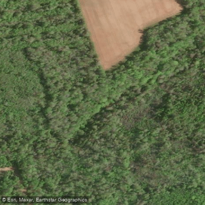
Brudenell River
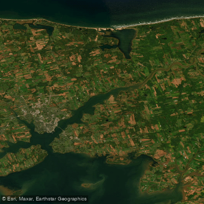
Hillsborough River Estuary
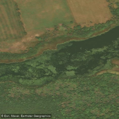
Winter River
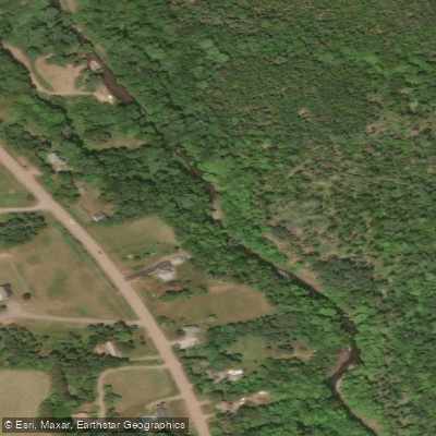
Waughs River
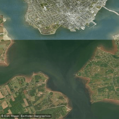
Charlottetown Harbour
East River of Pictou
Explore Pe waters
Top paddling waters
No waters available right now.
Popular Cities
Loading popular cities...
Explore near Hillsborough Bay

Smarter Paddling Starts in the App.
Paddleways gives you everything you need to plan smarter, paddle better, and own every trip from first launch to takeout.