Hillsborough River
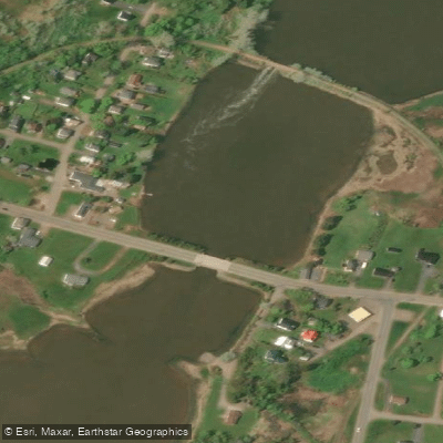
Hillsborough River
- Boat Ramps
- 0
- Access Points
- 0
- Campsites
- 0
The Hillsborough River in Prince Edward Island is a designated Canadian Heritage River flowing through Queens County in the eastern part of the province. The river runs from its headwaters at Head of Hillsborough downstream through the watershed, ultimately emptying into Charlottetown Harbour, bounded by Duchess Point at Victoria Park and Battery Point in Stratford. The watershed lies within the Appalachian-Acadian Physiographic region.
The classic paddling route runs from Mount Stewart downstream to Charlottetown, covering approximately 27 to 28 kilometres. This trip typically takes around six hours total, with roughly five hours and twenty minutes of moving time. Paddlers who have done the route report launching at the bridge in Mount Stewart around 9 AM and taking out near the Armouries area in Charlottetown, where car and trailer access is readily available. There is also a boat launch in Mount Stewart. The route is generally described as a day trip, taking three-quarters to a full day depending on pace and conditions.
The river is tidal along much of its length, and paddlers should account for tidal currents when planning their trip. The most significant practical consideration on this route is wind direction. Due to the land profile and the wider sections of the river, wind can impede progress far more than tidal currents. The area around the old railway bridge at Mount Stewart — locally known as "The Stew" — is a notable feature where tidal flooding and ebbing creates a small wave suitable for surfing kayaks. This spot is considered a rough water practice environment and is used for tidal current skills development. Several side roads off Route 2 are marked as Hillsborough Heritage River access points and lead to the riverbanks.
The river corridor passes through historically and culturally significant territory, with connections to Mi'kmaq heritage and early Scottish settlement. The Hillsborough River Eco-Centre is located along the route and serves as an interpretive facility. The river is also known for striped bass fishing, particularly in the stretch between Mount Stewart and Scotchfort, and no fishing licence is required in this tidal section. Birding is another activity associated with the river corridor. Water quality in the Hillsborough watershed was rated as good in a 2016 provincial assessment.
Water access, boat ramps & amenities
Learn how to get on Hillsborough River. Uncover great paddling access points, boat ramps, and all the facilities you need for an unforgettable day on the water. Some locations shown may border or include private property. Always check property boundaries and applicable regulations before visiting. PaddleWays's Public & Private Land layer can help you plan your access with confidence.
Paddle smarter with real-time insights
Whether you're en route and conditions shift or you're looking for the best spot based on current flows, we enable you to make informed decisions on the fly.







Pe licenses and regulations
No licenses or regulations available for Pe.
Find Places to Paddle

Over 400,000 Places to Paddle
Every user gets free access to launch points, boat ramps, and public property parcels.


Water and weather conditions (10 day forecast)
See the best times to paddle Hillsborough River and check the forecast before you go.
No forecast data available.
Paddling near Hillsborough River
Montague River
Hillsborough Bay
Southwest River
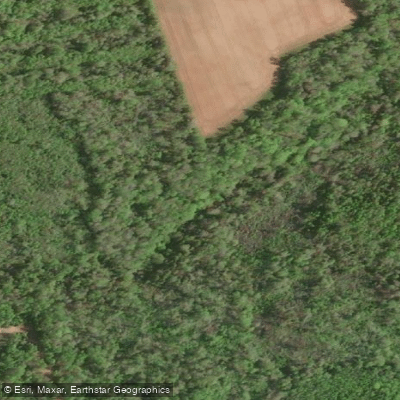
Brudenell River
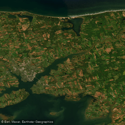
Hillsborough River Estuary
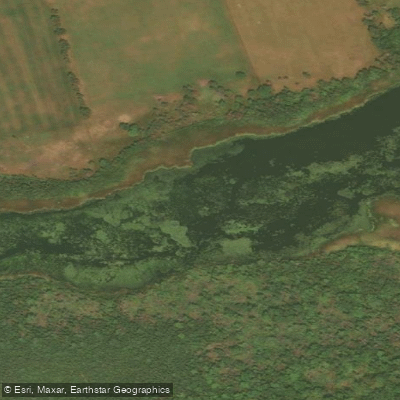
Winter River
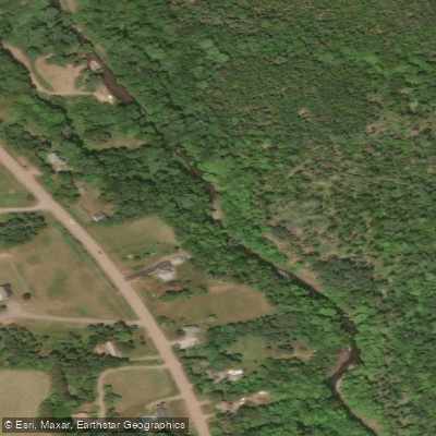
Waughs River
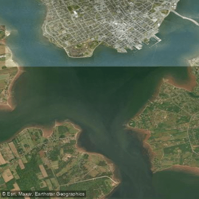
Charlottetown Harbour
East River of Pictou
Explore Pe waters
Top paddling waters
No waters available right now.
Popular Cities
Loading popular cities...
Explore near Hillsborough River

Smarter Paddling Starts in the App.
Paddleways gives you everything you need to plan smarter, paddle better, and own every trip from first launch to takeout.