Waughs River
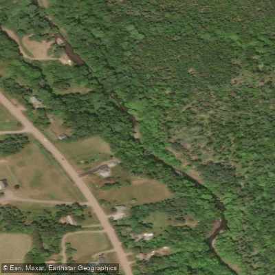
Waughs River
- Boat Ramps
- 0
- Access Points
- 0
- Campsites
- 0
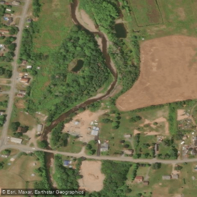
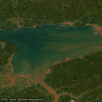
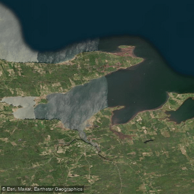
The Waughs River flows through Tatamagouche, a small village on the Northumberland Strait in northern Nova Scotia, emptying into Tatamagouche Bay. The river runs through Colchester County and is one of two main river systems in the Tatamagouche area, the other being the French River.
The river offers two distinct paddling characters depending on where you put in. The upper Waughs is too shallow and stony for summer paddling but comes alive in spring, offering roughly a two-hour stretch of Class I and Class II whitewater featuring rapids, ledges, and standing waves. This upper section is suitable for paddlers with some river experience but is not considered technically demanding. The lower tidal sections of the river are gentle and flat, making them well-suited for beginners or those seeking a relaxed outing. North Shore Adventure Outfitters in Tatamagouche notes that canoes, kayaks, and SUPs can all be used on the river, though paddlers should be mindful of shallow spots as the tide recedes on the lower sections.
A popular route on the lower river involves putting in approximately one kilometre upstream from Tatamagouche and paddling downstream to the ocean, a trip that takes roughly three hours. The takeout at Creamery Square in Tatamagouche provides a convenient endpoint for this run. Hazards on the river include fallen trees, overhanging branches, boulders, and sandbars. On the upper section during spring flows, sweepers have been noted as a particular concern requiring portaging in at least one known location near a gravel bar.
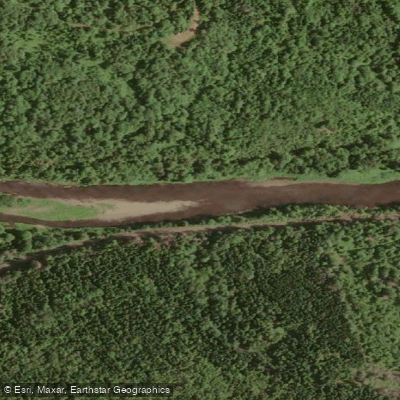
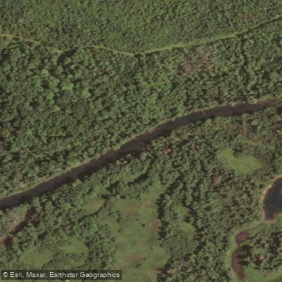
The river runs golden-brown over a substrate of stones, boulders, and ridges of rock visible through clear water. The lower estuary widens considerably at the river mouth, where double-crested cormorants and gulls are commonly observed. Autumn foliage along the banks adds visual interest for fall paddlers.
Spring is the prime season for the upper whitewater section, when water levels are high enough to cover the rocky riverbed. The lower tidal section can be paddled in other seasons, including autumn, when Thanksgiving-period conditions have been documented as favorable. The river is also a noted fishery for sea-run brook trout and Atlantic salmon, so paddlers may encounter fly fishermen, particularly during salmon season in the fall.
Water access, boat ramps & amenities
Learn how to get on Waughs River. Uncover great paddling access points, boat ramps, and all the facilities you need for an unforgettable day on the water. Some locations shown may border or include private property. Always check property boundaries and applicable regulations before visiting. PaddleWays's Public & Private Land layer can help you plan your access with confidence.
Paddle smarter with real-time insights
Whether you're en route and conditions shift or you're looking for the best spot based on current flows, we enable you to make informed decisions on the fly.








Find Places to Paddle

Over 400,000 Places to Paddle
Every user gets free access to launch points, boat ramps, and public property parcels.


Water and weather conditions (10 day forecast)
See the best times to paddle Waughs River and check the forecast before you go.
No forecast data available.
Paddling near Waughs River
Explore Ns waters
Top paddling waters
No waters available right now.
Popular Cities
Loading popular cities...
Explore near Waughs River

Smarter Paddling Starts in the App.
Paddleways gives you everything you need to plan smarter, paddle better, and own every trip from first launch to takeout.