Morell River
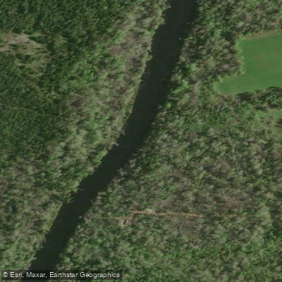
Morell River
- Boat Ramps
- 0
- Access Points
- 0
- Campsites
- 0
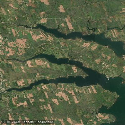
The Morell River is a north-flowing waterway in eastern Prince Edward Island that empties into St. Peter's Bay. The river offers two distinct paddling characters: an upper section that is narrow, occasionally fast-running, and more technical, and a lower section near the town of Morell that is flat, calm, and open. The total navigable distance commonly paddled runs approximately 17 kilometres, with a typical trip taking around two to three hours.
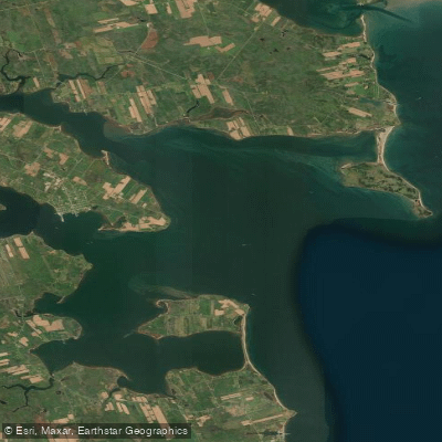
The most popular put-in options include Leard's Pond (Leard's Mill) near Riverton, the bridge on Highway 320, and Indian Bridge Road. The primary take-out is at Leo Rossiter Waterfront Park in the town of Morell, which provides easy vehicle access. From Morell, paddlers can also continue downstream toward St. Peter's Bay and paddle under the Confederation Trail Bridge, and more adventurous paddlers can cross the bay to reach Greenwich National Park with its notable sand dunes.
The upper river section warrants caution, as downed branches can choke the channel — carrying a folding saw is recommended for that stretch. In summer months, the upper river runs quite shallow, making paddling impractical; the full upper run is best suited to spring or after heavy autumn rains. The lower section near Morell remains accessible through summer.
Wildlife sightings along the river include bald eagles, and the forested corridor provides a natural setting throughout the paddle. The river is also well known for fly fishing, particularly for sea-run Brook Trout in spring, so paddlers may encounter anglers, especially in the upper reaches. A non-resident fishing licence is required for anyone wishing to combine paddling with fishing.
Kayak rentals and shuttle services have been available in Morell through local outfitters, with shuttles running from the town up to put-in points so paddlers can run the river downstream. The Grant's Bridge to Indian Bridge Road stretch is noted as a viable option for those wanting to paddle and fish simultaneously, though summer shallowness applies here as well.
Water access, boat ramps & amenities
Learn how to get on Morell River. Uncover great paddling access points, boat ramps, and all the facilities you need for an unforgettable day on the water. Some locations shown may border or include private property. Always check property boundaries and applicable regulations before visiting. PaddleWays's Public & Private Land layer can help you plan your access with confidence.
Paddle smarter with real-time insights
Whether you're en route and conditions shift or you're looking for the best spot based on current flows, we enable you to make informed decisions on the fly.







Pe licenses and regulations
No licenses or regulations available for Pe.
Find Places to Paddle

Over 400,000 Places to Paddle
Every user gets free access to launch points, boat ramps, and public property parcels.


Water and weather conditions (10 day forecast)
See the best times to paddle Morell River and check the forecast before you go.
No forecast data available.
Paddling near Morell River
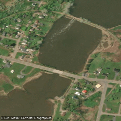
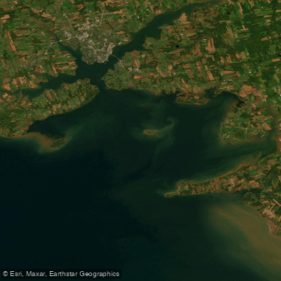
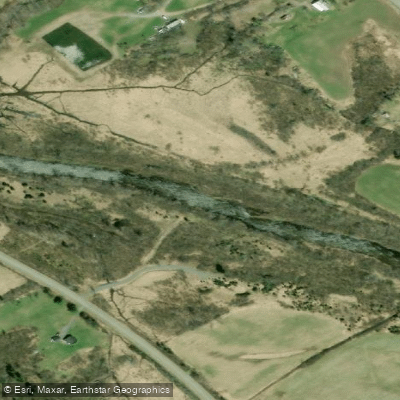
Explore Pe waters
Top paddling waters
No waters available right now.
Popular Cities
Loading popular cities...
Explore near Morell River

Smarter Paddling Starts in the App.
Paddleways gives you everything you need to plan smarter, paddle better, and own every trip from first launch to takeout.