Rivière de Puvirnituq
Rivière de Puvirnituq
- Boat Ramps
- 0
- Access Points
- 0
- Campsites
- 0
The Rivière de Puvirnituq is a 389–413 km wilderness river in Kativik, Nord-du-Québec, flowing generally southwest from its source at roughly 588–609 metres elevation to Hudson Bay at the village of Puvirnituq. Its watershed encompasses 28,500 square kilometres. The Inuktitut name translates roughly as "smells like rotten meat." The river follows a geological fault line across the arctic tundra of Nunavik and is considered an advanced wilderness expedition.
Two access options exist for the upper river. The primary approach begins at Pingualuit National Park of Quebec, reached by chartered Twin Otter from Kangiqsujuaq to the Manarsulik Camp airstrip. From the park, the route follows the Vachon River upstream to St. Germain Lake, then descends the St. Germain River to reach the Puvirnituq, crossing a 160-metre height-of-land portage between the two watersheds. An alternative start is from Raglan Mine, a fly-in nickel operation near the river's source at Lake Raglan, though this requires arranging mine access. The river terminates at the village of Puvirnituq on Hudson Bay.
The river is divided into an upper and lower section with markedly different characters. The Upper Puvirnituq features a canyon with walls approximately 400 feet high and, while containing many rapids, is considered calmer relative to the lower section. The Lower Puvirnituq is described by paddlers as significantly more powerful and demanding. Sanguamaaluk Canyon, whose Inuktitut name means "changing direction," is a major highlight of the upper section, containing several difficult rapids in sequence. Qarqaq Rapid requires a 190-metre portage on river left. Immediately following is Inaqunaittuq Rapid, described as rocky, long, and difficult, with exceptionally sticky rocks that make canoe-wrapping a serious hazard; negotiating either shore is problematic due to turbulence throughout. At kilometre 356, a campsite is located on river left.
Wildlife visible along the route includes falcons, wolves, and caribou. A free digital map bundle covering the entire route is available through Canot Kayak Québec via the Avenza Maps app, marking rapids, portages, campsites, and other points of interest. Given the remote arctic tundra setting and the technical demands of the river, this is a multi-week expedition suited only to experienced wilderness paddlers.
Water access, boat ramps & amenities
Learn how to get on Rivière de Puvirnituq. Uncover great paddling access points, boat ramps, and all the facilities you need for an unforgettable day on the water. Some locations shown may border or include private property. Always check property boundaries and applicable regulations before visiting. PaddleWays's Public & Private Land layer can help you plan your access with confidence.
Paddle smarter with real-time insights
Whether you're en route and conditions shift or you're looking for the best spot based on current flows, we enable you to make informed decisions on the fly.







Qc licenses and regulations
No licenses or regulations available for Qc.
Find Places to Paddle

Over 400,000 Places to Paddle
Every user gets free access to launch points, boat ramps, and public property parcels.


Water and weather conditions (10 day forecast)
See the best times to paddle Rivière de Puvirnituq and check the forecast before you go.
No forecast data available.
Paddling near Rivière de Puvirnituq
West Inlet
ᑭᙵᐃᑦ ᐃᓗᐊ Kinngait Harbour
Negus Bay
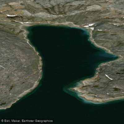
Tellik Bay
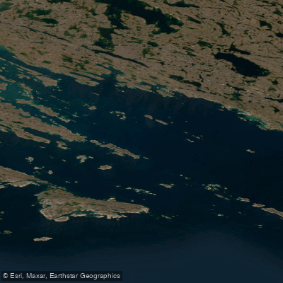
Andrew Gordon Bay
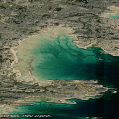
Shartowitok Bay
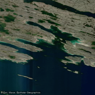
Terreoukchuk Bay
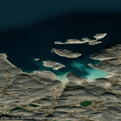
Morrissey Harbour
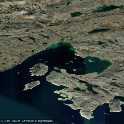
Schooner Harbour
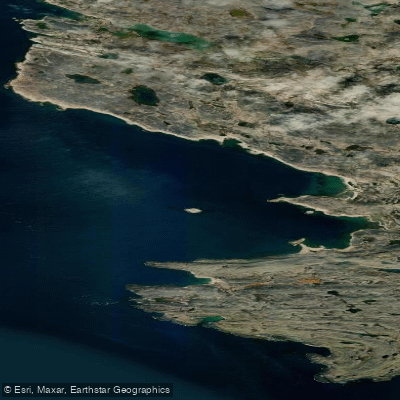
Lonebutte Bay
Explore Qc waters
Top paddling waters
No waters available right now.
Popular Cities
Loading popular cities...
Explore near Rivière de Puvirnituq

Smarter Paddling Starts in the App.
Paddleways gives you everything you need to plan smarter, paddle better, and own every trip from first launch to takeout.